Estimated Value: $1,254,000 - $2,040,238
3
Beds
2
Baths
1,172
Sq Ft
$1,396/Sq Ft
Est. Value
About This Home
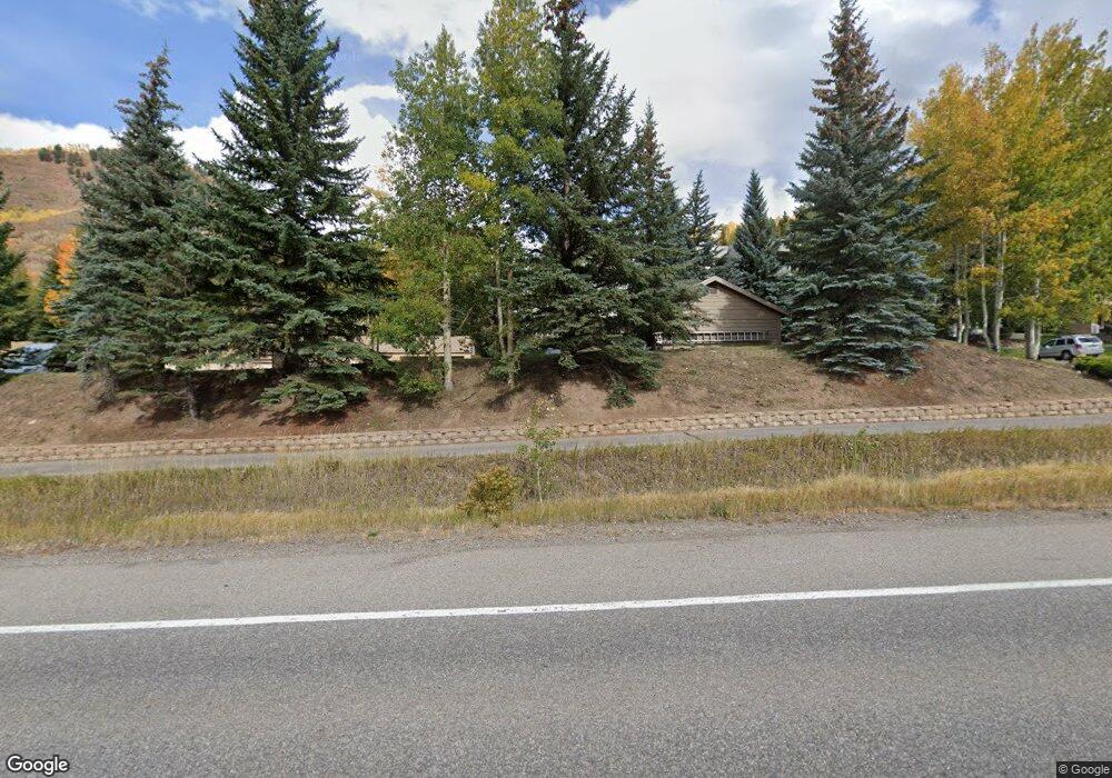
This home is located at 625 N Frontage W E-21 Rd Unit 21, Vail, CO 81657 and is currently estimated at $1,636,310, approximately $1,396 per square foot. 625 N Frontage W E-21 Rd Unit 21 is a home located in Eagle County with nearby schools including Red Sandstone Elementary School and Battle Mountain High School.
Ownership History
Date
Name
Owned For
Owner Type
Purchase Details
Closed on
Sep 27, 2022
Sold by
Loebig Barbara M and Loebig Brent W
Bought by
Brent William Loebig Living Trust
Current Estimated Value
Purchase Details
Closed on
Jul 1, 2019
Sold by
Steele Peter P and Steele Joyce H
Bought by
Loebig Barbara M and Loebig Brent W
Home Financials for this Owner
Home Financials are based on the most recent Mortgage that was taken out on this home.
Original Mortgage
$695,000
Interest Rate
4%
Mortgage Type
New Conventional
Purchase Details
Closed on
Mar 11, 2015
Sold by
Steele Peter P and Steele Joyce H
Bought by
The Peter & Joyce Steele Family Trust
Purchase Details
Closed on
Oct 29, 1993
Create a Home Valuation Report for This Property
The Home Valuation Report is an in-depth analysis detailing your home's value as well as a comparison with similar homes in the area
Home Values in the Area
Average Home Value in this Area
Purchase History
| Date | Buyer | Sale Price | Title Company |
|---|---|---|---|
| Brent William Loebig Living Trust | -- | -- | |
| Loebig Barbara M | $895,000 | Land Title Guarantee Co | |
| The Peter & Joyce Steele Family Trust | -- | None Available | |
| -- | $235,000 | -- |
Source: Public Records
Mortgage History
| Date | Status | Borrower | Loan Amount |
|---|---|---|---|
| Previous Owner | Loebig Barbara M | $695,000 |
Source: Public Records
Tax History Compared to Growth
Tax History
| Year | Tax Paid | Tax Assessment Tax Assessment Total Assessment is a certain percentage of the fair market value that is determined by local assessors to be the total taxable value of land and additions on the property. | Land | Improvement |
|---|---|---|---|---|
| 2024 | $4,480 | $94,200 | -- | $94,200 |
| 2023 | $4,480 | $94,200 | $0 | $94,200 |
| 2022 | $3,080 | $59,930 | $0 | $59,930 |
| 2021 | $3,171 | $61,650 | $0 | $61,650 |
| 2020 | $2,918 | $57,500 | $0 | $57,500 |
| 2019 | $2,928 | $57,500 | $0 | $57,500 |
| 2018 | $2,969 | $57,150 | $0 | $57,150 |
| 2017 | $2,955 | $57,150 | $0 | $57,150 |
| 2016 | $2,958 | $57,850 | $0 | $57,850 |
| 2015 | -- | $57,850 | $0 | $57,850 |
| 2014 | $2,316 | $49,270 | $0 | $49,270 |
Source: Public Records
Map
Nearby Homes
- 701 W Lionshead Cir Unit E307
- 701 W Lionshead Cir Unit W404
- 707 W Lionshead Cir Unit B6
- 684 W Lionshead Cir Unit 304
- 684 W Lionshead Cir Unit 215/216
- 684 W Lionshead Cir Unit 302
- 714 Lionshead Place Unit Penthouse
- 548 S Frontage Rd E Unit 302
- 929 Red Sandstone Rd Unit 15D
- 770 Potato Patch Dr Unit 5
- 675 Lionshead Place Unit 642
- 728 W Lionshead Cir Unit F-124
- 728 W Lionshead Cir Unit R-616
- 728 W Lionshead Cir Unit F-224
- 903 N Frontage Rd W Unit 10
- 903 N Frontage Rd W Unit 14
- 508 E Lionshead Cir Unit 203
- 508 E Lionshead Cir Unit 310/Week 23
- 508 E Lionshead Cir Unit 502
- 508 E Lionshead Cir Unit 116-44
- 635 N Frontage Rd W Unit G15
- 635 N Frontage Rd W Unit G14
- 635 N Frontage Rd W Unit G13
- 635 N Frontage Rd W Unit G12
- 635 N Frontage Rd W Unit G11
- 635 N Frontage Rd W Unit G10
- 635 N Frontage Rd W Unit G9
- 635 N Frontage Rd W Unit G7
- 645 N Frontage Rd W Unit 32
- 645 N Frontage Rd W Unit 35
- 645 N Frontage Rd W Unit 34
- 645 N Frontage Rd W Unit 33
- 645 N Frontage Rd W Unit 31
- 645 N Frontage Rd W Unit 30
- 645 N Frontage Rd W Unit 29
- 645 N Frontage Rd W Unit 28
- 645 N Frontage Rd W Unit 27
- 645 N Frontage Rd W Unit 26
- 645 N Frontage Rd W Unit 25
- 645 N Frontage Rd W Unit 14C