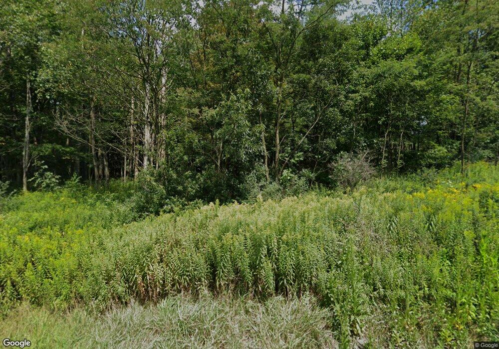
625 Panic Knoxdale Rd Reynoldsville, PA 15851
Estimated Value: $56,000 - $74,000
--
Bed
--
Bath
360
Sq Ft
$171/Sq Ft
Est. Value
About This Home
This home is located at 625 Panic Knoxdale Rd, Reynoldsville, PA 15851 and is currently estimated at $61,441, approximately $170 per square foot. 625 Panic Knoxdale Rd is a home with nearby schools including Punxsutawney Area High School and BUCKS RUN.
Ownership History
Date
Name
Owned For
Owner Type
Purchase Details
Closed on
Aug 2, 2023
Sold by
Walker James R
Bought by
Miller Mervin J
Current Estimated Value
Home Financials for this Owner
Home Financials are based on the most recent Mortgage that was taken out on this home.
Original Mortgage
$50,000
Outstanding Balance
$48,831
Interest Rate
6.67%
Mortgage Type
New Conventional
Estimated Equity
$12,610
Create a Home Valuation Report for This Property
The Home Valuation Report is an in-depth analysis detailing your home's value as well as a comparison with similar homes in the area
Home Values in the Area
Average Home Value in this Area
Purchase History
| Date | Buyer | Sale Price | Title Company |
|---|---|---|---|
| Miller Mervin J | $50,000 | None Listed On Document |
Source: Public Records
Mortgage History
| Date | Status | Borrower | Loan Amount |
|---|---|---|---|
| Open | Miller Mervin J | $50,000 |
Source: Public Records
Tax History Compared to Growth
Tax History
| Year | Tax Paid | Tax Assessment Tax Assessment Total Assessment is a certain percentage of the fair market value that is determined by local assessors to be the total taxable value of land and additions on the property. | Land | Improvement |
|---|---|---|---|---|
| 2025 | $325 | $7,460 | $3,830 | $3,630 |
| 2024 | $318 | $7,460 | $3,830 | $3,630 |
| 2023 | $319 | $7,460 | $3,830 | $3,630 |
| 2022 | $320 | $7,460 | $3,830 | $3,630 |
| 2021 | $320 | $7,460 | $3,830 | $3,630 |
| 2020 | $321 | $7,460 | $3,830 | $3,630 |
| 2019 | $320 | $7,460 | $3,830 | $3,630 |
| 2018 | $246 | $5,840 | $3,830 | $2,010 |
| 2017 | $245 | $5,840 | $3,830 | $2,010 |
| 2016 | $268 | $6,530 | $3,830 | $2,700 |
| 2015 | -- | $6,530 | $3,830 | $2,700 |
| 2012 | -- | $3,830 | $3,830 | $0 |
Source: Public Records
Map
Nearby Homes
- 2021 Rd
- 290 Summit Rd
- 290 N Summit Rd
- 178 Summit Rd
- 92 Summit Rd
- 1089 Fire Tower Rd
- 00 Fuller Rd
- 115 Walnut St
- 276 Main St
- 3620 Fuller Rd
- 0 Crawfordtown Rd
- 0 Point View Rd Lot Unit WP001
- 0 Myrtle St
- 609 Trout Run Rd
- 940 & 942 Jackson St
- 114 TO 126 Jackson St
- 20 2nd Ave
- 224 Bradford St
- 256 Ohio St
- 5025 Pennsylvania 36
- 282 Ramsey Dr
- 529 Panic Knoxdale Rd
- 188 Ramsey Dr
- 674 Panic Knoxdale Rd
- 473 Panic Knoxdale Rd
- 235 Panic Knoxdale Rd
- 4502 Knox Dale Rd
- 155 Panic Knoxdale Rd
- 4152 Knox Dale Rd
- 154 Panic Knoxdale Rd
- 91 Panic Knoxdale Rd
- 4550 Knox Dale Rd
- 4610 Knox Dale Rd
- 4525 Knox Dale Rd
- 4563 Knox Dale Rd
- 4813 Knox Dale Rd
- 659 Grange Hall Rd
- 4573 4577 4675 &
- 329 Grange Hall Rd
- 135 Deer Ridge Rd
