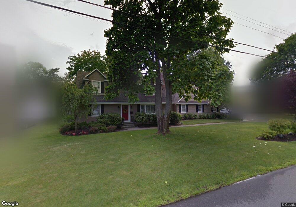
625 Rankin Rd Brielle, NJ 08730
Estimated Value: $1,290,190 - $1,502,000
4
Beds
3
Baths
3,048
Sq Ft
$465/Sq Ft
Est. Value
About This Home
This home is located at 625 Rankin Rd, Brielle, NJ 08730 and is currently estimated at $1,416,048, approximately $464 per square foot. 625 Rankin Rd is a home located in Monmouth County with nearby schools including Brielle Elementary School and St. Peter School.
Ownership History
Date
Name
Owned For
Owner Type
Purchase Details
Closed on
Jan 8, 2004
Sold by
Bidwell Jack
Bought by
Nolan Kevin and Nolan Kristen
Current Estimated Value
Home Financials for this Owner
Home Financials are based on the most recent Mortgage that was taken out on this home.
Original Mortgage
$300,000
Interest Rate
5.67%
Create a Home Valuation Report for This Property
The Home Valuation Report is an in-depth analysis detailing your home's value as well as a comparison with similar homes in the area
Home Values in the Area
Average Home Value in this Area
Purchase History
| Date | Buyer | Sale Price | Title Company |
|---|---|---|---|
| Nolan Kevin | $545,000 | -- |
Source: Public Records
Mortgage History
| Date | Status | Borrower | Loan Amount |
|---|---|---|---|
| Previous Owner | Nolan Kevin | $300,000 |
Source: Public Records
Tax History Compared to Growth
Tax History
| Year | Tax Paid | Tax Assessment Tax Assessment Total Assessment is a certain percentage of the fair market value that is determined by local assessors to be the total taxable value of land and additions on the property. | Land | Improvement |
|---|---|---|---|---|
| 2025 | $13,471 | $1,131,600 | $600,000 | $531,600 |
| 2024 | $14,772 | $1,085,500 | $563,700 | $521,800 |
| 2023 | $14,772 | $1,149,600 | $640,000 | $509,600 |
| 2022 | $13,081 | $965,800 | $445,000 | $520,800 |
| 2021 | $13,081 | $853,300 | $390,000 | $463,300 |
| 2020 | $13,797 | $842,800 | $390,000 | $452,800 |
| 2019 | $13,552 | $840,200 | $390,000 | $450,200 |
| 2018 | $13,283 | $812,900 | $405,000 | $407,900 |
| 2017 | $12,577 | $760,400 | $365,000 | $395,400 |
| 2016 | $12,391 | $750,500 | $365,000 | $385,500 |
| 2015 | $12,191 | $733,100 | $365,000 | $368,100 |
| 2014 | $12,395 | $795,600 | $575,000 | $220,600 |
Source: Public Records
Map
Nearby Homes
- 642 Rankin Rd
- 816 Rathjen Rd
- 846 William Dr
- 20 Maple Ln Unit D
- 806 Riverview Dr
- 29 Mulberry Ct Unit D
- 41 Poplar Ct Unit C
- Kensington Plan at The Monmouth - The Villas 55+
- 1307 W Union Ln Unit A4
- 308 South St
- 651 Oceanview Rd
- 142 Oval Rd
- 907 Riverview Dr
- 300 Union Ave
- 664 Valley Rd
- 508 Harris Ave
- 542 Woodland Ave
- 2578 Collier Rd
- 619 Park Ave
- 2573 Curriers Place
- 623 Rankin Rd
- 627 Rankin Rd
- 822 William Dr
- 632 Rankin Rd
- 630 Rankin Rd
- 621 Rankin Rd
- 830 Squan Brook Way
- 824 William Dr
- 629 Rankin Rd
- 626 Rankin Rd
- 634 Rankin Rd
- 636 Rankin Rd
- 826 William Dr
- 630 Susan Ln
- 619 Rankin Rd
- 619 Rankin Rd Unit Lot 3 - .1.028 acres
- 619 Rankin Rd Unit Lot 2 - .691 acres
- 619 Rankin Rd Unit Lot 4 - .366 acres
- 619 Rankin Rd Unit Lot 1 - .712 acres
- 619 Rankin Rd Unit Lot 5 - .432 acres