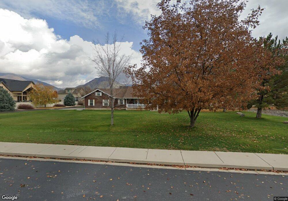
625 S 800 W Mapleton, UT 84664
Estimated Value: $582,000 - $1,024,000
4
Beds
4
Baths
2,500
Sq Ft
$321/Sq Ft
Est. Value
About This Home
This home is located at 625 S 800 W, Mapleton, UT 84664 and is currently estimated at $801,677, approximately $320 per square foot. 625 S 800 W is a home located in Utah County with nearby schools including Mapleton School, Mapleton Junior High School, and Maple Mountain High School.
Ownership History
Date
Name
Owned For
Owner Type
Purchase Details
Closed on
Sep 23, 2015
Sold by
Durall Dean D and Durall Nola S
Bought by
The Dd & Ns Durall Family Trust
Current Estimated Value
Purchase Details
Closed on
Jul 22, 2015
Sold by
Dd & Ns Durall Family Trust
Bought by
Hart Kevin C and Hart Megan C
Home Financials for this Owner
Home Financials are based on the most recent Mortgage that was taken out on this home.
Original Mortgage
$200,000
Interest Rate
10%
Mortgage Type
New Conventional
Purchase Details
Closed on
Dec 15, 2005
Sold by
Durall Dean D and Durall Nola S
Bought by
Andersen Cory W
Purchase Details
Closed on
Dec 13, 2005
Sold by
Andersen Cory W
Bought by
Durall Dean D and Durall Nola S
Create a Home Valuation Report for This Property
The Home Valuation Report is an in-depth analysis detailing your home's value as well as a comparison with similar homes in the area
Home Values in the Area
Average Home Value in this Area
Purchase History
| Date | Buyer | Sale Price | Title Company |
|---|---|---|---|
| The Dd & Ns Durall Family Trust | -- | None Available | |
| Hart Kevin C | -- | Highland Title | |
| Andersen Cory W | -- | Horizon Title | |
| Durall Dean D | -- | Horizon Title |
Source: Public Records
Mortgage History
| Date | Status | Borrower | Loan Amount |
|---|---|---|---|
| Previous Owner | Hart Kevin C | $200,000 |
Source: Public Records
Tax History
| Year | Tax Paid | Tax Assessment Tax Assessment Total Assessment is a certain percentage of the fair market value that is determined by local assessors to be the total taxable value of land and additions on the property. | Land | Improvement |
|---|---|---|---|---|
| 2025 | $3,322 | $365,225 | -- | -- |
| 2024 | $3,322 | $325,460 | $0 | $0 |
| 2023 | $3,449 | $340,035 | $0 | $0 |
| 2022 | $3,395 | $601,400 | $318,500 | $282,900 |
| 2021 | $2,785 | $416,700 | $199,100 | $217,600 |
| 2020 | $2,722 | $393,800 | $176,200 | $217,600 |
| 2019 | $2,433 | $359,400 | $170,200 | $189,200 |
| 2018 | $2,343 | $329,400 | $140,200 | $189,200 |
| 2017 | $2,303 | $171,910 | $0 | $0 |
| 2016 | $2,220 | $164,760 | $0 | $0 |
| 2015 | $2,159 | $159,260 | $0 | $0 |
| 2014 | $2,191 | $158,710 | $0 | $0 |
Source: Public Records
Map
Nearby Homes
- 896 W 675 S
- 4664 S 680 W Unit S101
- 4664 S 680 W Unit S303
- 4664 S 680 W Unit S301
- 4664 S 680 W Unit S302
- 4664 S 680 W Unit S204
- 4664 S 680 W Unit S202
- 4664 S 680 W Unit S203
- 4664 S 680 W Unit S102
- 4664 S 680 W Unit S201
- 4664 S 680 W Unit S304
- 415 S 1200 W
- 1158 S 980 W
- 715 W 4600 S Unit Lot I101
- 715 W 4600 S Unit Lot I102
- 715 W 4600 S Unit Lot I303
- 715 W 4600 S Unit Lot I304
- 1222 W 190 N
- 1142 W 220 N
- 1655 W 200 S Unit A
Your Personal Tour Guide
Ask me questions while you tour the home.