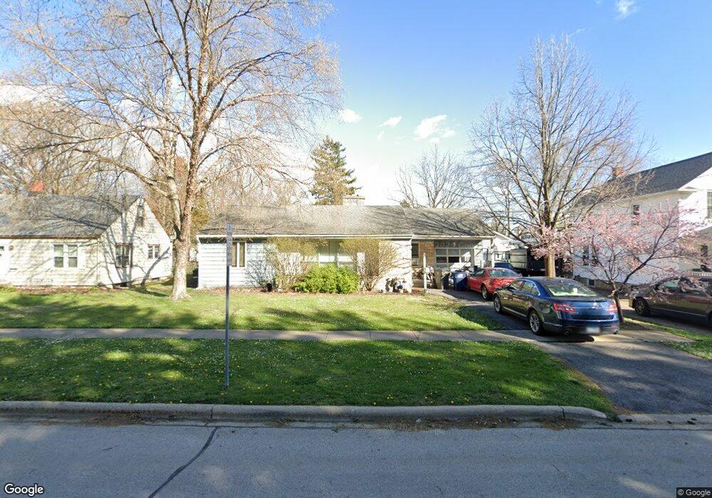
625 S Main St Montgomery, IL 60538
Estimated Value: $263,850 - $309,000
3
Beds
1
Bath
1,329
Sq Ft
$215/Sq Ft
Est. Value
About This Home
This home is located at 625 S Main St, Montgomery, IL 60538 and is currently estimated at $285,963, approximately $215 per square foot. 625 S Main St is a home located in Kane County with nearby schools including Nicholson Elementary School, Washington Middle School, and West Aurora High School.
Ownership History
Date
Name
Owned For
Owner Type
Purchase Details
Closed on
Oct 29, 1998
Sold by
Moland Thomas W
Bought by
Moland Thomas W and Moland Susan L
Current Estimated Value
Home Financials for this Owner
Home Financials are based on the most recent Mortgage that was taken out on this home.
Original Mortgage
$107,950
Interest Rate
6.59%
Purchase Details
Closed on
Jun 16, 1997
Sold by
Moland Jessilee
Bought by
Moland Thomas
Create a Home Valuation Report for This Property
The Home Valuation Report is an in-depth analysis detailing your home's value as well as a comparison with similar homes in the area
Home Values in the Area
Average Home Value in this Area
Purchase History
| Date | Buyer | Sale Price | Title Company |
|---|---|---|---|
| Moland Thomas W | -- | Law Title Insurance Co Inc | |
| Moland Thomas | -- | -- |
Source: Public Records
Mortgage History
| Date | Status | Borrower | Loan Amount |
|---|---|---|---|
| Closed | Moland Thomas W | $107,950 | |
| Closed | Moland Thomas W | $19,125 |
Source: Public Records
Tax History
| Year | Tax Paid | Tax Assessment Tax Assessment Total Assessment is a certain percentage of the fair market value that is determined by local assessors to be the total taxable value of land and additions on the property. | Land | Improvement |
|---|---|---|---|---|
| 2024 | $3,951 | $72,934 | $10,401 | $62,533 |
| 2023 | $4,292 | $65,166 | $9,293 | $55,873 |
| 2022 | $4,304 | $59,458 | $8,479 | $50,979 |
| 2021 | $3,928 | $55,356 | $7,894 | $47,462 |
| 2020 | $3,685 | $51,417 | $7,332 | $44,085 |
| 2019 | $3,546 | $47,639 | $6,793 | $40,846 |
| 2018 | $3,987 | $51,337 | $6,283 | $45,054 |
| 2017 | $3,584 | $45,743 | $5,789 | $39,954 |
| 2016 | $3,173 | $40,223 | $5,223 | $35,000 |
| 2015 | -- | $36,116 | $4,491 | $31,625 |
| 2014 | -- | $35,629 | $4,127 | $31,502 |
| 2013 | -- | $36,506 | $4,382 | $32,124 |
Source: Public Records
Map
Nearby Homes
- 142 Jefferson St
- 1 Highway 30
- 107 Fellemore Ln
- 4 Ingleshire Rd
- 19 Pasadena Dr
- 27 S Bereman Rd
- 117 Boulder Hill Pass Unit 117
- 119 Garden Dr
- 19 Wyndham Dr Unit 10
- 46 Ingleshire Rd
- 1417 Manning Ave
- 40 Chatham Place
- 1855 Grandview Place Unit 2B
- 2021 Radcliffe Dr
- 945 Sard Ave
- 5.43 B-3 Commercial State Route 31
- 1931 Stephen Dr
- 122 Longbeach Rd
- 1035 Allaire Ave
- 162 Heathgate Rd
- 623 S Main St
- 220 Case St
- 621 S Main St
- 624 S River St
- 622 S River St
- 626 S River St
- 620 S River St
- 628 S River St
- 529 S Main St
- 528 S River St
- 702 S River St Unit 704
- 625 S River St
- 625 S Railroad St Unit D
- 122 Case St
- 623 S River St
- 621 S River St
- 527 S Main St
- 527 S River St
- 526 S River St
- 528 S Main St
Your Personal Tour Guide
Ask me questions while you tour the home.