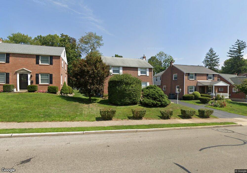
625 Saxer Ave Springfield, PA 19064
Estimated Value: $433,000 - $471,000
3
Beds
1
Bath
1,418
Sq Ft
$317/Sq Ft
Est. Value
About This Home
This home is located at 625 Saxer Ave, Springfield, PA 19064 and is currently estimated at $448,871, approximately $316 per square foot. 625 Saxer Ave is a home located in Delaware County with nearby schools including Springfield High School, St Francis Of Assisi School, and Holy Cross School.
Ownership History
Date
Name
Owned For
Owner Type
Purchase Details
Closed on
Feb 7, 2005
Sold by
Soussan Patrick S and Soussan Lisa
Bought by
Meeks Kathleen
Current Estimated Value
Purchase Details
Closed on
Jun 9, 2000
Sold by
Tillberg Carroll S and Estate Of Merton B Leader
Bought by
Soussan Patrick S
Home Financials for this Owner
Home Financials are based on the most recent Mortgage that was taken out on this home.
Original Mortgage
$145,000
Outstanding Balance
$51,191
Interest Rate
8.24%
Mortgage Type
Stand Alone First
Estimated Equity
$397,680
Create a Home Valuation Report for This Property
The Home Valuation Report is an in-depth analysis detailing your home's value as well as a comparison with similar homes in the area
Home Values in the Area
Average Home Value in this Area
Purchase History
| Date | Buyer | Sale Price | Title Company |
|---|---|---|---|
| Meeks Kathleen | $107,670 | -- | |
| Soussan Patrick S | $145,000 | Commonwealth Land Title Ins |
Source: Public Records
Mortgage History
| Date | Status | Borrower | Loan Amount |
|---|---|---|---|
| Open | Soussan Patrick S | $145,000 |
Source: Public Records
Tax History
| Year | Tax Paid | Tax Assessment Tax Assessment Total Assessment is a certain percentage of the fair market value that is determined by local assessors to be the total taxable value of land and additions on the property. | Land | Improvement |
|---|---|---|---|---|
| 2025 | $7,654 | $272,310 | $95,500 | $176,810 |
| 2024 | $7,654 | $272,310 | $95,500 | $176,810 |
| 2023 | $7,370 | $272,310 | $95,500 | $176,810 |
| 2022 | $7,210 | $272,310 | $95,500 | $176,810 |
| 2021 | $11,167 | $272,310 | $95,500 | $176,810 |
| 2020 | $5,612 | $123,840 | $45,910 | $77,930 |
| 2019 | $5,480 | $123,840 | $45,910 | $77,930 |
| 2018 | $5,401 | $123,840 | $0 | $0 |
| 2017 | $5,276 | $123,840 | $0 | $0 |
| 2016 | $680 | $123,840 | $0 | $0 |
| 2015 | $694 | $123,840 | $0 | $0 |
| 2014 | $680 | $123,840 | $0 | $0 |
Source: Public Records
Map
Nearby Homes
- 332 Franklin Ave
- 114 Providence Rd
- 978 Westfield Rd
- 838 West Ave
- 173 Rambling Way
- 227 E Leamy Ave
- 226 Lynbrooke Rd
- 933 Greenbriar Ln
- 507 School St
- 514 Springview Ln
- 111 Broad St
- 364 S Rolling Rd
- 31 Wayfield Rd
- 202-203 Sycamore Ave
- 493 Wheatsheaf Rd
- 29 School Ln
- 120 W Springfield Rd
- 7 & 0 Woodland Ave
- 2 Yale Ave
- 2323 Mole Rd
Your Personal Tour Guide
Ask me questions while you tour the home.