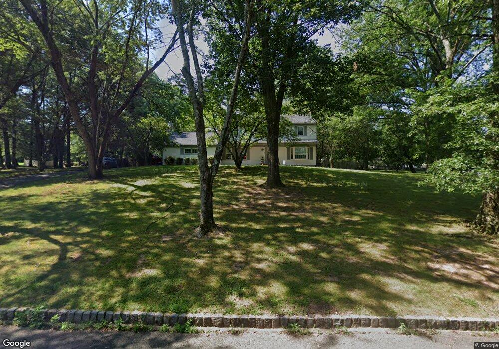
625 Snowbird Way Branchburg, NJ 08876
Branchburg Township NeighborhoodEstimated Value: $724,000 - $858,000
--
Bed
--
Bath
2,430
Sq Ft
$325/Sq Ft
Est. Value
About This Home
This home is located at 625 Snowbird Way, Branchburg, NJ 08876 and is currently estimated at $789,587, approximately $324 per square foot. 625 Snowbird Way is a home located in Somerset County with nearby schools including Whiton Elementary School, Stony Brook School, and Branchburg Central Middle School.
Ownership History
Date
Name
Owned For
Owner Type
Purchase Details
Closed on
Oct 31, 2017
Sold by
Sydlo Allan B and Sydlo Margaret L
Bought by
Taylor Andrew K and Juba Jennifer E
Current Estimated Value
Home Financials for this Owner
Home Financials are based on the most recent Mortgage that was taken out on this home.
Original Mortgage
$391,000
Outstanding Balance
$326,683
Interest Rate
3.83%
Mortgage Type
New Conventional
Estimated Equity
$462,904
Purchase Details
Closed on
May 15, 1991
Sold by
Havrilla George S and Havrilla Margaret
Bought by
Sydlo Allan B and Sydlo Margaret
Create a Home Valuation Report for This Property
The Home Valuation Report is an in-depth analysis detailing your home's value as well as a comparison with similar homes in the area
Home Values in the Area
Average Home Value in this Area
Purchase History
| Date | Buyer | Sale Price | Title Company |
|---|---|---|---|
| Taylor Andrew K | $460,000 | None Available | |
| Sydlo Allan B | $311,500 | -- |
Source: Public Records
Mortgage History
| Date | Status | Borrower | Loan Amount |
|---|---|---|---|
| Open | Taylor Andrew K | $391,000 |
Source: Public Records
Tax History Compared to Growth
Tax History
| Year | Tax Paid | Tax Assessment Tax Assessment Total Assessment is a certain percentage of the fair market value that is determined by local assessors to be the total taxable value of land and additions on the property. | Land | Improvement |
|---|---|---|---|---|
| 2025 | $11,120 | $669,400 | $195,000 | $474,400 |
| 2024 | $11,120 | $616,400 | $195,000 | $421,400 |
| 2023 | $10,597 | $566,400 | $195,000 | $371,400 |
| 2022 | $10,463 | $531,400 | $195,000 | $336,400 |
| 2021 | $10,557 | $499,400 | $195,000 | $304,400 |
| 2020 | $10,488 | $489,400 | $195,000 | $294,400 |
| 2019 | $10,439 | $484,400 | $195,000 | $289,400 |
| 2018 | $10,360 | $479,400 | $195,000 | $284,400 |
| 2017 | $10,497 | $482,400 | $185,000 | $297,400 |
| 2016 | $10,547 | $481,600 | $180,000 | $301,600 |
| 2015 | $10,532 | $481,800 | $170,000 | $311,800 |
| 2014 | $10,560 | $488,900 | $160,000 | $328,900 |
Source: Public Records
Map
Nearby Homes
- 5 Walnut Dr
- 215 Readington Rd
- 6 Heritage Ct
- 507 Dunn Cir
- 2 Carlisle Rd
- 23 Buffalo Hollow Rd
- 511 Red Crest Ln
- 21 Cheyenne Trail
- 203 Red Crest Ln
- 33 Iroquois Trail
- 19 Craft Farm Dr
- 16 Iroquois Trail
- 1601 Breckenridge Dr
- 46 Strawberry Hill Rd
- 3010 Doolittle Dr
- 48 Reinhart Way
- 2801 Doolittle Dr
- 61 Waugh Ct
- 1114 State Route 28
- 4101 Dilts Ln