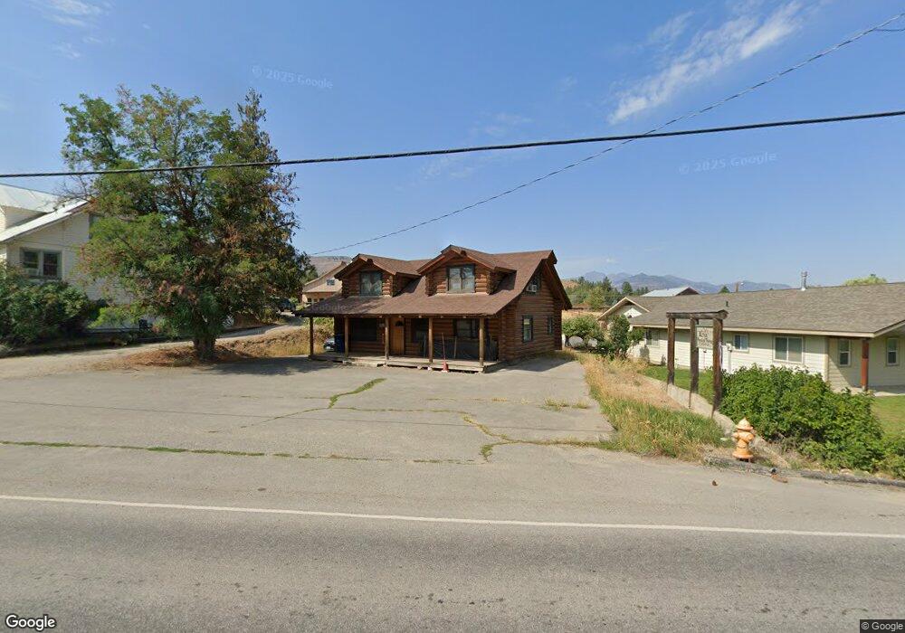
625 State Route 20 Winthrop, WA 98862
Estimated Value: $616,385
--
Bed
--
Bath
1,440
Sq Ft
$428/Sq Ft
Est. Value
About This Home
This home is located at 625 State Route 20, Winthrop, WA 98862 and is currently estimated at $616,385, approximately $428 per square foot. 625 State Route 20 is a home located in Okanogan County with nearby schools including Methow Valley Elementary School, Liberty Bell Junior/Senior High School, and Methow Valley Independent Learning Center.
Ownership History
Date
Name
Owned For
Owner Type
Purchase Details
Closed on
Aug 21, 2013
Sold by
Stern Howard C and Stern Catherine M
Bought by
Nelson Andrew and Micheletti Danielle M
Current Estimated Value
Home Financials for this Owner
Home Financials are based on the most recent Mortgage that was taken out on this home.
Original Mortgage
$225,000
Outstanding Balance
$168,123
Interest Rate
4.51%
Mortgage Type
Construction
Estimated Equity
$448,262
Create a Home Valuation Report for This Property
The Home Valuation Report is an in-depth analysis detailing your home's value as well as a comparison with similar homes in the area
Home Values in the Area
Average Home Value in this Area
Purchase History
| Date | Buyer | Sale Price | Title Company |
|---|---|---|---|
| Nelson Andrew | $235,000 | Inland Professional Title |
Source: Public Records
Mortgage History
| Date | Status | Borrower | Loan Amount |
|---|---|---|---|
| Open | Nelson Andrew | $225,000 |
Source: Public Records
Tax History Compared to Growth
Tax History
| Year | Tax Paid | Tax Assessment Tax Assessment Total Assessment is a certain percentage of the fair market value that is determined by local assessors to be the total taxable value of land and additions on the property. | Land | Improvement |
|---|---|---|---|---|
| 2025 | $2,255 | $286,100 | $84,600 | $201,500 |
| 2024 | $2,255 | $286,100 | $84,600 | $201,500 |
| 2022 | $2,410 | $221,400 | $69,600 | $151,800 |
| 2021 | $2,535 | $221,400 | $69,600 | $151,800 |
| 2020 | $2,497 | $221,400 | $69,600 | $151,800 |
| 2019 | $2,387 | $221,400 | $69,600 | $151,800 |
| 2018 | $2,614 | $221,400 | $69,600 | $151,800 |
| 2017 | $2,297 | $221,400 | $69,600 | $151,800 |
| 2016 | $1,965 | $194,000 | $62,600 | $131,400 |
| 2015 | $1,812 | $194,000 | $62,600 | $131,400 |
| 2013 | -- | $194,000 | $62,600 | $131,400 |
Source: Public Records
Map
Nearby Homes
- 816 Castle Ave
- 920 Castle Ave
- 302 Cascadian Ct Unit 18
- 9 tbd Cascadian Way
- 506 Lufkin Ln
- 88 Horizon Flat Rd
- 238 Castle Ave
- 404 Bluff St
- 18 Wild Rose Rd
- 600 W Chewuch Rd
- 615 Pine Loop
- 98 Larkspur Dr
- 96 Twin Lakes Dr
- 81 W Chewuch Rd
- 90 Twin Lakes Dr
- 21 Twin Lakes Dr
- 5 Chase Rd
- 8 Deer Trails Way
- 99 Hilltop Dr
- 25 Deer Trails Way
- 709 Riverside Ave
- 709 Riverside St
- 713 Riverside St
- 619 Highway 20 Ave
- 714 Riverside Ave
- 706 Riverside St
- 105 Center St
- 803 Riverside St
- 607 State Route 20
- 1 Washington St Unit 2
- 723 Highway 20 City
- 103 Washington St
- 107 Center St
- 709 Main St
- 715 Main St
- 808 Riverside St
- 531 State Route 20
- 607 Main St
- 815 Riverside St
- 623 Main St