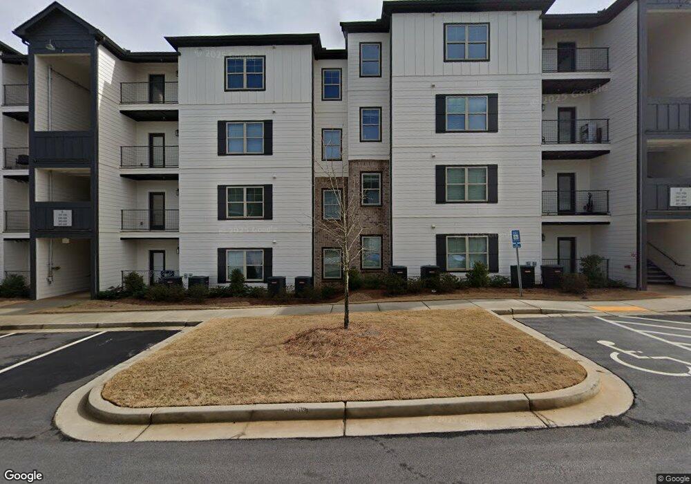
625 Us Highway 29 N Athens, GA 30601
Estimated Value: $52,284,052
--
Bed
--
Bath
2,856
Sq Ft
$18,307/Sq Ft
Est. Value
About This Home
This home is located at 625 Us Highway 29 N, Athens, GA 30601 and is currently priced at $52,284,052, approximately $18,306 per square foot. 625 Us Highway 29 N is a home located in Clarke County with nearby schools including Fowler Drive Elementary School, Coile Middle School, and Cedar Shoals High School.
Ownership History
Date
Name
Owned For
Owner Type
Purchase Details
Closed on
Mar 7, 2024
Sold by
Pointe Grand Athens Llc
Bought by
Athens Mf Real Property Llc
Current Estimated Value
Purchase Details
Closed on
Nov 6, 2020
Sold by
Cook H A
Bought by
Pointe Grand Athens Llc
Purchase Details
Closed on
Sep 28, 1998
Sold by
University System Of Georgia
Bought by
Cook H A
Create a Home Valuation Report for This Property
The Home Valuation Report is an in-depth analysis detailing your home's value as well as a comparison with similar homes in the area
Home Values in the Area
Average Home Value in this Area
Purchase History
| Date | Buyer | Sale Price | Title Company |
|---|---|---|---|
| Athens Mf Real Property Llc | -- | -- | |
| Athens Mf Real Property Llc | $51,250,000 | -- | |
| Pointe Grand Athens Llc | $2,150,000 | -- | |
| Cook H A | $150,000 | -- |
Source: Public Records
Tax History Compared to Growth
Tax History
| Year | Tax Paid | Tax Assessment Tax Assessment Total Assessment is a certain percentage of the fair market value that is determined by local assessors to be the total taxable value of land and additions on the property. | Land | Improvement |
|---|---|---|---|---|
| 2025 | $615,487 | $19,822,459 | $859,248 | $18,963,211 |
| 2024 | $619,452 | $19,822,459 | $859,248 | $18,963,211 |
| 2023 | $619,452 | $14,872,356 | $859,248 | $14,013,108 |
| 2022 | $123,036 | $3,856,920 | $859,248 | $2,997,672 |
| 2021 | $25,739 | $763,776 | $763,776 | $0 |
| 2020 | $484 | $741,696 | $741,696 | $0 |
| 2019 | $474 | $741,696 | $741,696 | $0 |
| 2018 | $460 | $741,696 | $741,696 | $0 |
| 2017 | $447 | $741,696 | $741,696 | $0 |
| 2016 | $434 | $741,696 | $741,696 | $0 |
| 2015 | $422 | $741,696 | $741,696 | $0 |
| 2014 | $25,255 | $741,696 | $741,696 | $0 |
Source: Public Records
Map
Nearby Homes
- 6006 Smokey
- 110 Connelly Cir
- 210 Hull Rd
- 2146 Danielsville Rd
- 156 Connally Cir
- 32 Pine Lane Dr
- 0 Danielsville Rd Unit 8926755
- 0 Danielsville Rd Unit 979729
- 185 Berry Dr
- 155 Ashmore Dr
- 140 Loblolly Dr
- 192 Sunny Hills Dr
- 336 Old Pittard Rd
- 495 Boley Dr
- 145 Noketchee Dr
- 121 Sweetgum Way
- 300 Harve Mathis Rd
- 0 Old Commerce Rd Unit 10617666
- 664 Hancock Industrial Way