Estimated Value: $167,000
--
Bed
--
Bath
--
Sq Ft
6.16
Acres
About This Home
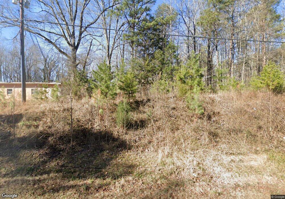
This home is located at 625 Us Highway 321 Bypass, York, SC 29745 and is currently estimated at $167,000. 625 Us Highway 321 Bypass is a home located in York County with nearby schools including Cotton Belt Elementary School, York Intermediate School, and York Middle School.
Ownership History
Date
Name
Owned For
Owner Type
Purchase Details
Closed on
Jun 10, 2024
Sold by
Sigmon Family Growth Revocable Living Tr and Sigmon Jeffrey Curtis
Bought by
Sasquatch Properties Llc
Current Estimated Value
Home Financials for this Owner
Home Financials are based on the most recent Mortgage that was taken out on this home.
Original Mortgage
$499,500
Outstanding Balance
$493,307
Interest Rate
7.17%
Mortgage Type
New Conventional
Estimated Equity
-$326,307
Purchase Details
Closed on
Dec 23, 2019
Sold by
Sigmon C C
Bought by
Sigmon Carlin Curtis and Sigmon Family Growth Rlt
Purchase Details
Closed on
Apr 5, 2005
Sold by
Sigmon C Curtis
Bought by
City Of York
Create a Home Valuation Report for This Property
The Home Valuation Report is an in-depth analysis detailing your home's value as well as a comparison with similar homes in the area
Home Values in the Area
Average Home Value in this Area
Purchase History
| Date | Buyer | Sale Price | Title Company |
|---|---|---|---|
| Sasquatch Properties Llc | $135,000 | None Listed On Document | |
| Sigmon Carlin Curtis | -- | None Available | |
| City Of York | -- | -- |
Source: Public Records
Mortgage History
| Date | Status | Borrower | Loan Amount |
|---|---|---|---|
| Open | Sasquatch Properties Llc | $499,500 |
Source: Public Records
Tax History Compared to Growth
Tax History
| Year | Tax Paid | Tax Assessment Tax Assessment Total Assessment is a certain percentage of the fair market value that is determined by local assessors to be the total taxable value of land and additions on the property. | Land | Improvement |
|---|---|---|---|---|
| 2024 | $6 | $11 | $11 | $0 |
| 2023 | $6 | $11 | $11 | $0 |
| 2022 | $6 | $12 | $12 | $0 |
| 2021 | $0 | $12 | $12 | $0 |
| 2020 | $6 | $12 | $0 | $0 |
| 2019 | $6 | $12 | $0 | $0 |
| 2018 | $6 | $12 | $0 | $0 |
| 2017 | $6 | $12 | $0 | $0 |
| 2016 | $6 | $12 | $0 | $0 |
| 2014 | $5 | $12 | $12 | $0 |
| 2013 | $5 | $12 | $12 | $0 |
Source: Public Records
Map
Nearby Homes
- .99 acres Highway 321
- 509 California Cir
- 191 Washington St
- 131 Lowry Row Unit 8
- 28 Maiden Ln
- 305 Woodcrest Dr
- 25 Magnolia St
- 446 Brannon Meadows Dr
- 404 Brannon Meadows Dr
- 838 Foxglove Ln
- 839 Foxglove Ln
- 1211 Whitehall Hill Rd
- 40 Magnolia St
- 1256 Whitehall Hill Rd
- 152 Reading St
- 629 Gants Rd
- 634 Gants Rd
- 15 Kings Mountain St
- 7 Kings Mountain St
- 3 Kings Mountain St
- 0 Washington St
- 00 Highway 321
- 1.028 Acre Highway 321
- 0 Highway 321
- 404 W Liberty St
- 512 California Cir
- 514 California Cir
- 604 W Liberty St Unit 1
- 604 W Liberty St
- 606 Liberty St W
- 510 California Cir
- 505 W Liberty St
- 516 California Cir
- 508 California Cir
- 512 W Liberty St
- 501 Liberty St W
- 511 California Cir
- 513 California Cir
- 508 W Liberty St
- 506 W Liberty St