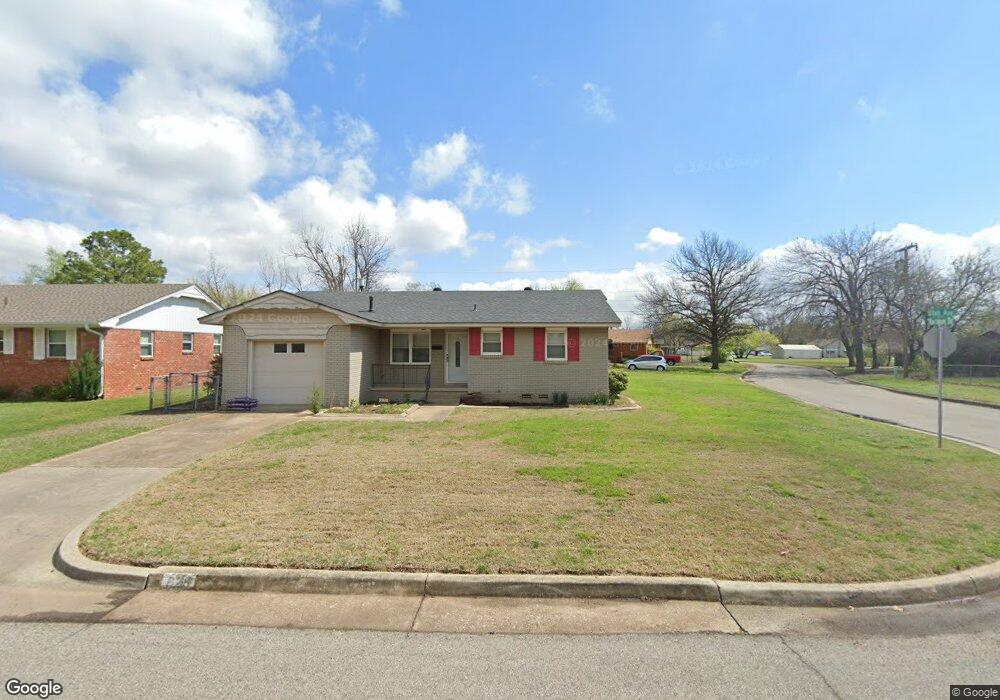
625 Utah Ave Norman, OK 73069
Westwood Park NeighborhoodEstimated Value: $162,000 - $188,000
3
Beds
2
Baths
992
Sq Ft
$172/Sq Ft
Est. Value
About This Home
This home is located at 625 Utah Ave, Norman, OK 73069 and is currently estimated at $170,736, approximately $172 per square foot. 625 Utah Ave is a home located in Cleveland County with nearby schools including Adams Elementary School, Whittier Middle School, and Norman North High School.
Ownership History
Date
Name
Owned For
Owner Type
Purchase Details
Closed on
May 26, 2009
Sold by
Fletcher Angela L and Fletcher Angela
Bought by
Fletcher Michael L and Fletcher Cherie L
Current Estimated Value
Home Financials for this Owner
Home Financials are based on the most recent Mortgage that was taken out on this home.
Original Mortgage
$56,250
Outstanding Balance
$35,520
Interest Rate
4.76%
Mortgage Type
New Conventional
Estimated Equity
$135,216
Create a Home Valuation Report for This Property
The Home Valuation Report is an in-depth analysis detailing your home's value as well as a comparison with similar homes in the area
Home Values in the Area
Average Home Value in this Area
Purchase History
| Date | Buyer | Sale Price | Title Company |
|---|---|---|---|
| Fletcher Michael L | $75,000 | Fa |
Source: Public Records
Mortgage History
| Date | Status | Borrower | Loan Amount |
|---|---|---|---|
| Open | Fletcher Michael L | $56,250 |
Source: Public Records
Tax History Compared to Growth
Tax History
| Year | Tax Paid | Tax Assessment Tax Assessment Total Assessment is a certain percentage of the fair market value that is determined by local assessors to be the total taxable value of land and additions on the property. | Land | Improvement |
|---|---|---|---|---|
| 2024 | $1,411 | $11,786 | $2,981 | $8,805 |
| 2023 | $1,348 | $11,225 | $3,284 | $7,941 |
| 2022 | $1,231 | $10,690 | $3,140 | $7,550 |
| 2021 | $1,236 | $10,181 | $3,300 | $6,881 |
| 2020 | $1,184 | $9,960 | $3,000 | $6,960 |
| 2019 | $1,147 | $9,487 | $2,880 | $6,607 |
| 2018 | $1,059 | $9,036 | $1,920 | $7,116 |
| 2017 | $1,071 | $9,036 | $0 | $0 |
| 2016 | $1,040 | $8,644 | $1,837 | $6,807 |
| 2015 | $962 | $8,232 | $1,440 | $6,792 |
| 2014 | $979 | $8,303 | $1,187 | $7,116 |
Source: Public Records
Map
Nearby Homes
- 717 Denison Dr
- 627 W Acres St
- 713 Dakota St
- 718 Highland Pkwy
- 751 Iowa St
- 1313 Dorchester Dr
- 500 Dakota St
- 830 Nebraska St
- 1337 Regent St
- 409 W Johnson St
- 920 Nebraska St
- 1213 Iowa St
- 748 Highland Pkwy
- 923 Kansas St
- 916 Canterbury Ave
- 405 N Base Ave
- 502 Kansas St
- 430 Kansas St
- 1502 Denison Dr
- 509 W Tonhawa St
- 629 Utah Ave
- 729 Hartman Dr
- 631 Utah Ave
- 615 Utah Ave
- 725 Hartman Dr
- 720 W Hughbert St
- 618 Utah Ave
- 719 Hartman Dr
- 614 Utah Ave
- 806 W Hughbert St
- 609 Utah Ave
- 727 W Hughbert St
- 718 W Hughbert St
- 726 Hartman Dr
- 610 Utah Ave
- 713 Hartman Dr
- 603 Utah Ave
- 729 W Hughbert St
- 810 W Hughbert St
- 725 W Hughbert St