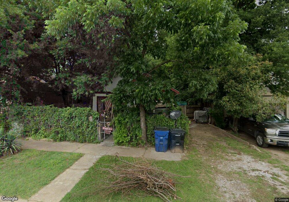
625 W Day St Denison, TX 75020
Estimated Value: $97,952 - $200,000
Studio
--
Bath
1,148
Sq Ft
$130/Sq Ft
Est. Value
About This Home
This home is located at 625 W Day St, Denison, TX 75020 and is currently estimated at $148,976, approximately $129 per square foot. 625 W Day St is a home located in Grayson County with nearby schools including Houston Elementary School, Scott Middle School, and Denison High School.
Ownership History
Date
Name
Owned For
Owner Type
Purchase Details
Closed on
Sep 1, 2021
Sold by
Lanteigne Normand
Bought by
Allen Mieheline Ma
Current Estimated Value
Purchase Details
Closed on
Aug 27, 2021
Sold by
Lanteigna Murielle
Bought by
Allen Michaline Ma
Purchase Details
Closed on
Aug 10, 2021
Sold by
Lanteigna Marcel
Bought by
Allen Micheline M A
Purchase Details
Closed on
Feb 2, 2017
Sold by
Lanteigne Maurice
Bought by
Allen Micheline M A
Purchase Details
Closed on
Jan 30, 2017
Sold by
Lanteigne Michel L
Bought by
Allen Micheline M A
Purchase Details
Closed on
Jan 13, 2017
Sold by
Ciccarello Angelo R
Bought by
Allen Micheline M A
Create a Home Valuation Report for This Property
The Home Valuation Report is an in-depth analysis detailing your home's value as well as a comparison with similar homes in the area
Home Values in the Area
Average Home Value in this Area
Purchase History
| Date | Buyer | Sale Price | Title Company |
|---|---|---|---|
| Allen Mieheline Ma | -- | None Available | |
| Allen Michaline Ma | -- | None Available | |
| Allen Micheline M A | -- | None Available | |
| Allen Micheline M A | -- | None Available | |
| Allen Micheline M A | -- | None Available | |
| Allen Micheline M A | -- | None Available |
Source: Public Records
Tax History
| Year | Tax Paid | Tax Assessment Tax Assessment Total Assessment is a certain percentage of the fair market value that is determined by local assessors to be the total taxable value of land and additions on the property. | Land | Improvement |
|---|---|---|---|---|
| 2025 | $436 | $69,527 | -- | -- |
| 2024 | $1,468 | $63,206 | $0 | $0 |
| 2023 | $593 | $57,460 | $0 | $0 |
| 2022 | $1,241 | $52,236 | $0 | $0 |
| 2021 | $1,198 | $47,487 | $19,950 | $27,537 |
| 2020 | $1,209 | $45,832 | $15,000 | $30,832 |
| 2019 | $1,151 | $41,830 | $8,550 | $33,280 |
| 2018 | $958 | $34,523 | $7,275 | $27,248 |
| 2017 | $819 | $29,951 | $3,000 | $26,951 |
| 2016 | $745 | $26,624 | $2,700 | $23,924 |
Source: Public Records
Map
Nearby Homes
- 708 W Day St
- 621 W Munson St
- 727 W Day St
- 811 W Day St
- 511 W Munson St
- 820 W Shepherd St
- 701 W Hull St Unit 101-2
- 826 W Shepherd St
- 704 W Hull St
- 430 W Munson St
- 516 W Morgan St
- 904 W Shepherd St
- 919 W Day St
- 1011 S Armstrong Ave
- 513 W Texas St
- 614 W Owings St
- 326 W Day St
- 900 W Morgan St
- TBD W Texas St
- 1401 W Texas St
Your Personal Tour Guide
Ask me questions while you tour the home.