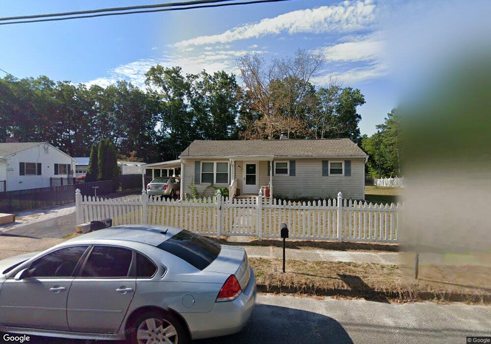
625 Weymouth Rd Browns Mills, NJ 08015
Estimated Value: $283,000 - $321,230
--
Bed
--
Bath
1,087
Sq Ft
$282/Sq Ft
Est. Value
About This Home
This home is located at 625 Weymouth Rd, Browns Mills, NJ 08015 and is currently estimated at $306,308, approximately $281 per square foot. 625 Weymouth Rd is a home located in Burlington County.
Ownership History
Date
Name
Owned For
Owner Type
Purchase Details
Closed on
Jun 20, 2000
Sold by
Bergstrom Thomas
Bought by
Oakman Thomas J and Oakman Vera L
Current Estimated Value
Home Financials for this Owner
Home Financials are based on the most recent Mortgage that was taken out on this home.
Original Mortgage
$73,150
Outstanding Balance
$26,302
Interest Rate
8.5%
Estimated Equity
$280,006
Purchase Details
Closed on
Aug 1, 1997
Sold by
Daniels Gary L
Bought by
Va
Home Financials for this Owner
Home Financials are based on the most recent Mortgage that was taken out on this home.
Original Mortgage
$48,220
Interest Rate
7.17%
Create a Home Valuation Report for This Property
The Home Valuation Report is an in-depth analysis detailing your home's value as well as a comparison with similar homes in the area
Home Values in the Area
Average Home Value in this Area
Purchase History
| Date | Buyer | Sale Price | Title Company |
|---|---|---|---|
| Oakman Thomas J | $77,000 | -- | |
| Va | -- | -- |
Source: Public Records
Mortgage History
| Date | Status | Borrower | Loan Amount |
|---|---|---|---|
| Open | Oakman Thomas J | $73,150 | |
| Previous Owner | Va | $48,220 |
Source: Public Records
Tax History Compared to Growth
Tax History
| Year | Tax Paid | Tax Assessment Tax Assessment Total Assessment is a certain percentage of the fair market value that is determined by local assessors to be the total taxable value of land and additions on the property. | Land | Improvement |
|---|---|---|---|---|
| 2025 | $4,248 | $138,600 | $39,000 | $99,600 |
| 2024 | $3,986 | $138,600 | $39,000 | $99,600 |
| 2023 | $3,986 | $138,600 | $39,000 | $99,600 |
| 2022 | $3,538 | $138,600 | $39,000 | $99,600 |
| 2021 | $3,238 | $138,600 | $39,000 | $99,600 |
| 2020 | $3,405 | $138,600 | $39,000 | $99,600 |
| 2019 | $3,261 | $138,600 | $39,000 | $99,600 |
| 2018 | $3,150 | $138,600 | $39,000 | $99,600 |
| 2017 | $3,085 | $138,600 | $39,000 | $99,600 |
| 2016 | $2,826 | $75,600 | $25,400 | $50,200 |
| 2015 | $2,803 | $75,600 | $25,400 | $50,200 |
| 2014 | $2,680 | $75,600 | $25,400 | $50,200 |
Source: Public Records
Map
Nearby Homes
- 3394 Liberty St
- 3399 Liberty St
- 20 Coville Dr
- 204 Scammell Dr
- 3610 Weymouth Rd
- 3620 Weymouth Rd
- 601 Concord Dr
- 3594 Nashua St
- 3698 A Nashua St
- 511 Laurel Blvd
- 28 Scammell Dr
- 3561 Weymouth Rd
- 215 Coville Dr
- 42 Monroe Ave
- 25 Railroad St
- 20 Carp Ln
- 108 Juliustown Rd
- 55 Columbus Ave
- 30 Press Ave
- 136 S Lakeshore Dr
- 623 Weymouth Rd
- 621 Weymouth Rd
- 622 Weymouth Rd
- 1 Coville Dr
- 619 Weymouth Rd
- 3523 Weymouth Rd
- 2 Coville Dr
- 3 Coville Dr
- 617 Weymouth Rd
- 4 Coville Dr
- 5 Coville Dr
- 615 Weymouth Rd
- 3341 Liberty St
- 3352 Liberty St
- 3346 Liberty St
- 610 Weymouth Rd
- 3642 Weymouth Rd
- 6 Coville Dr
- 3401 Liberty St
- 3410 Liberty St