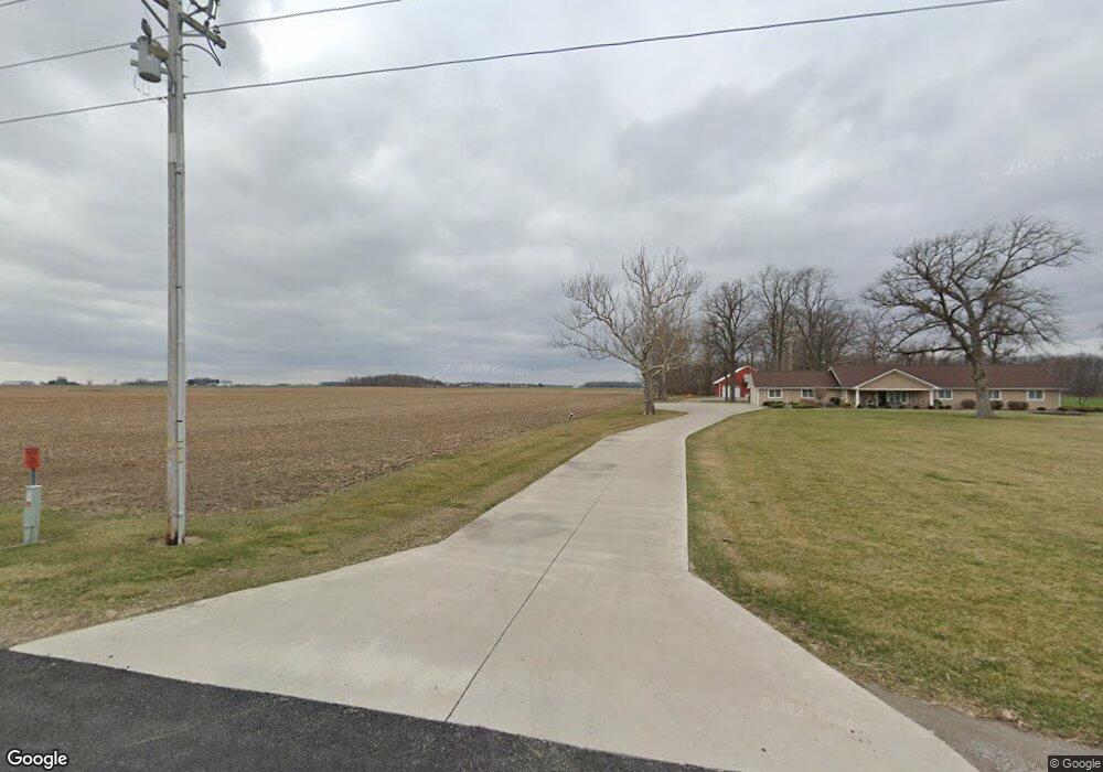
6250 Rd 1 Leipsic, OH 45856
Estimated Value: $273,000 - $429,620
3
Beds
3
Baths
2,854
Sq Ft
$129/Sq Ft
Est. Value
About This Home
This home is located at 6250 Rd 1, Leipsic, OH 45856 and is currently estimated at $367,540, approximately $128 per square foot. 6250 Rd 1 is a home with nearby schools including Leipsic Elementary School and Leipsic High School.
Ownership History
Date
Name
Owned For
Owner Type
Purchase Details
Closed on
Oct 17, 2023
Sold by
Schroeder Dennis D and Schroeder Joan M
Bought by
Schroeder Dennis D and Schroeder Dennis D
Current Estimated Value
Purchase Details
Closed on
Dec 15, 2011
Sold by
Grubb William
Bought by
Schroeder Dennis and Schroeder Joan
Home Financials for this Owner
Home Financials are based on the most recent Mortgage that was taken out on this home.
Original Mortgage
$190,000
Interest Rate
4.25%
Mortgage Type
Future Advance Clause Open End Mortgage
Create a Home Valuation Report for This Property
The Home Valuation Report is an in-depth analysis detailing your home's value as well as a comparison with similar homes in the area
Purchase History
| Date | Buyer | Sale Price | Title Company |
|---|---|---|---|
| Schroeder Dennis D | -- | None Listed On Document | |
| Schroeder Dennis | -- | None Available |
Source: Public Records
Mortgage History
| Date | Status | Borrower | Loan Amount |
|---|---|---|---|
| Previous Owner | Schroeder Dennis | $190,000 |
Source: Public Records
Tax History
| Year | Tax Paid | Tax Assessment Tax Assessment Total Assessment is a certain percentage of the fair market value that is determined by local assessors to be the total taxable value of land and additions on the property. | Land | Improvement |
|---|---|---|---|---|
| 2025 | $3,893 | $134,400 | $10,190 | $124,210 |
| 2024 | $4,099 | $134,400 | $10,190 | $124,210 |
| 2023 | $4,230 | $110,110 | $7,440 | $102,670 |
| 2022 | $4,257 | $110,110 | $7,441 | $102,669 |
| 2021 | $4,279 | $110,110 | $7,441 | $102,669 |
| 2020 | $4,258 | $102,960 | $6,460 | $96,500 |
| 2019 | $3,865 | $105,990 | $7,440 | $98,550 |
| 2018 | $3,825 | $105,990 | $7,440 | $98,550 |
| 2017 | $3,613 | $105,990 | $7,440 | $98,550 |
| 2016 | $3,613 | $102,960 | $6,460 | $96,500 |
| 2015 | $3,554 | $102,960 | $6,460 | $96,500 |
| 2014 | $3,465 | $102,960 | $6,460 | $96,500 |
| 2013 | $3,641 | $102,960 | $6,460 | $96,500 |
Source: Public Records
Map
Nearby Homes
- 358 State Route 613
- 1280 Ohio 613
- 3111 Township Road 93
- 223 Cherry St
- 4609 Township Road 235
- 0 Joshua Rd Unit 6126475
- 257 S Main St
- 4134 County Road 203
- 634 Ohio St
- 504 E Main St
- 356 S Belmore St
- 13 E Liberty St
- 303 S Poplar St
- 25 W Main St
- 713 State St
- 709 State St
- 712 State St
- 707 State St
- 703 State St
- 705 State St
- 5225 County Road 16
- 5355 County Road 16
- 3877 Road 1
- 0 County Road 16
- 5233 Township Road 115
- 5748 Road 1
- 296 State Route 613
- 296 State Route 613
- 5801 County Road 16 County Rd
- 169 State Route 613
- 1081 State Route 613
- 169 Ohio 613
- 5813 Road 1e
- 5801 County Road 16
- 5801 County Road 16
- 5801 County Road 16
- 5644 County Road 16
- 1280 State Route 613
- 4660 Township Road 115
- 1723 Road F
Your Personal Tour Guide
Ask me questions while you tour the home.