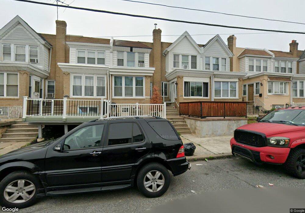
6252 Brous Ave Philadelphia, PA 19149
Mayfair NeighborhoodEstimated Value: $190,000 - $239,000
3
Beds
1
Bath
1,332
Sq Ft
$158/Sq Ft
Est. Value
About This Home
This home is located at 6252 Brous Ave, Philadelphia, PA 19149 and is currently estimated at $210,535, approximately $158 per square foot. 6252 Brous Ave is a home located in Philadelphia County with nearby schools including Lincoln High School, Ethan Allen School, and Blessed Trinity Regional Catholic School.
Ownership History
Date
Name
Owned For
Owner Type
Purchase Details
Closed on
Jun 24, 2010
Sold by
Rivera Luis V and Rivera Matilda
Bought by
Ramos Jovanny A
Current Estimated Value
Home Financials for this Owner
Home Financials are based on the most recent Mortgage that was taken out on this home.
Original Mortgage
$64,136
Outstanding Balance
$42,415
Interest Rate
4.78%
Mortgage Type
FHA
Estimated Equity
$168,120
Create a Home Valuation Report for This Property
The Home Valuation Report is an in-depth analysis detailing your home's value as well as a comparison with similar homes in the area
Home Values in the Area
Average Home Value in this Area
Purchase History
| Date | Buyer | Sale Price | Title Company |
|---|---|---|---|
| Ramos Jovanny A | $65,000 | None Available |
Source: Public Records
Mortgage History
| Date | Status | Borrower | Loan Amount |
|---|---|---|---|
| Open | Ramos Jovanny A | $64,136 |
Source: Public Records
Tax History Compared to Growth
Tax History
| Year | Tax Paid | Tax Assessment Tax Assessment Total Assessment is a certain percentage of the fair market value that is determined by local assessors to be the total taxable value of land and additions on the property. | Land | Improvement |
|---|---|---|---|---|
| 2026 | $2,321 | $194,400 | $38,880 | $155,520 |
| 2025 | $2,321 | $194,400 | $38,880 | $155,520 |
| 2024 | $2,321 | $194,400 | $38,880 | $155,520 |
| 2023 | $2,321 | $165,800 | $33,160 | $132,640 |
| 2022 | $1,079 | $120,800 | $33,160 | $87,640 |
| 2021 | $1,709 | $0 | $0 | $0 |
| 2020 | $1,709 | $0 | $0 | $0 |
| 2019 | $1,641 | $0 | $0 | $0 |
| 2018 | $1,541 | $0 | $0 | $0 |
| 2017 | $1,541 | $0 | $0 | $0 |
| 2016 | $1,027 | $0 | $0 | $0 |
| 2015 | $1,073 | $0 | $0 | $0 |
| 2014 | -- | $110,100 | $14,385 | $95,715 |
| 2012 | -- | $14,048 | $1,497 | $12,551 |
Source: Public Records
Map
Nearby Homes
- 6233 Cardiff St
- 6204 Mershon St
- 6200 Cardiff St
- 6247 Revere St
- 2904 Devereaux Ave
- 6333 Mershon St
- 2940 Devereaux Ave
- 2916 Levick St
- 2910 Passmore St
- 2133 Mckinley St
- 2140 Stevens St
- 4007 Higbee St
- 2818 Hellerman St
- 6027 Frankford Ave
- 4623 Hawthorne St
- 2687 Levick St
- 2112 Robbins Ave
- 6143 Hawthorne St
- 6340 Calvert St
- 4010 Creston St
- 6254 Brous Ave
- 6250 Brous Ave
- 6256 Brous Ave
- 6248 Brous Ave
- 6258 Brous Ave
- 6246 Brous Ave
- 6260 Brous Ave Unit 1
- 6260 Brous Ave
- 6260 Brous Ave Unit 2
- 6244 Brous Ave
- 6253 Mershon St
- 6255 Mershon St
- 6251 Mershon St
- 6262 Brous Ave
- 6262 Brous Ave Unit 1
- 6257 Mershon St
- 6242 Brous Ave
- 6249 Mershon St
- 6259 Mershon St
- 6261 Mershon St