Estimated Value: $364,000 - $431,000
--
Bed
--
Bath
1,765
Sq Ft
$222/Sq Ft
Est. Value
About This Home
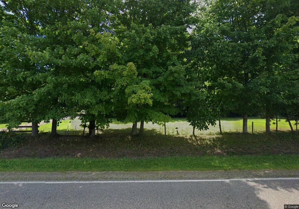
This home is located at 6253 W Wilson Rd, Clio, MI 48420 and is currently estimated at $392,033, approximately $222 per square foot. 6253 W Wilson Rd is a home located in Genesee County with nearby schools including George R. Carter Middle School and Clio Area High School.
Ownership History
Date
Name
Owned For
Owner Type
Purchase Details
Closed on
May 23, 2024
Sold by
Belill Joan E
Bought by
Mantel Aubree and Belill Seamus
Current Estimated Value
Home Financials for this Owner
Home Financials are based on the most recent Mortgage that was taken out on this home.
Original Mortgage
$344,350
Outstanding Balance
$339,720
Interest Rate
7.1%
Mortgage Type
New Conventional
Estimated Equity
$52,313
Purchase Details
Closed on
Jul 18, 2022
Sold by
Trust Agreement Of Joan E Belill and Belill Joan E
Bought by
Belill Joan E and Trust Agreement Of Joan E Belill
Purchase Details
Closed on
Apr 1, 2011
Sold by
Belill Joan E
Bought by
Belill Joan E
Purchase Details
Closed on
Dec 19, 2006
Sold by
Belill Ronald L and Belill Joan E
Bought by
Belill Ronald L and Belill Joan E
Create a Home Valuation Report for This Property
The Home Valuation Report is an in-depth analysis detailing your home's value as well as a comparison with similar homes in the area
Home Values in the Area
Average Home Value in this Area
Purchase History
| Date | Buyer | Sale Price | Title Company |
|---|---|---|---|
| Mantel Aubree | $355,000 | Mason Burgess Title | |
| Belill Joan E | -- | None Listed On Document | |
| Belill Joan E | -- | None Available | |
| Belill Ronald L | -- | None Available |
Source: Public Records
Mortgage History
| Date | Status | Borrower | Loan Amount |
|---|---|---|---|
| Open | Mantel Aubree | $344,350 |
Source: Public Records
Tax History Compared to Growth
Tax History
| Year | Tax Paid | Tax Assessment Tax Assessment Total Assessment is a certain percentage of the fair market value that is determined by local assessors to be the total taxable value of land and additions on the property. | Land | Improvement |
|---|---|---|---|---|
| 2025 | $3,141 | $211,700 | $0 | $0 |
| 2024 | $1,358 | $176,400 | $0 | $0 |
| 2023 | $1,295 | $140,400 | $0 | $0 |
| 2022 | $2,809 | $128,600 | $0 | $0 |
| 2021 | $2,773 | $119,500 | $0 | $0 |
| 2020 | $1,185 | $102,700 | $0 | $0 |
| 2019 | $1,081 | $98,100 | $0 | $0 |
| 2018 | $2,401 | $84,800 | $0 | $0 |
| 2017 | $2,288 | $84,800 | $0 | $0 |
| 2016 | $2,269 | $77,100 | $0 | $0 |
| 2015 | $2,248 | $70,600 | $0 | $0 |
| 2012 | -- | $68,900 | $68,900 | $0 |
Source: Public Records
Map
Nearby Homes
- 11107 N Elms Rd
- 7452 Dodge Rd
- 9465 N Linden Rd
- 5218 W Vienna Rd
- Lot D N Linden Rd
- 9050 N Webster Rd
- 11290 N Linden Rd
- 0 W Wilson Rd Unit 50180050
- 5171 Field Rd
- 12046 Morrish Rd
- V/L Morrish Rd
- 12409 Elms Rd
- 9072 N Linden Rd
- 7481 Frances Rd
- 00 W Vienna Rd
- 11275 Grand Oaks Dr
- 4093 Libbie Dr
- 13060 Country Club Dr
- 5212 W Farrand Rd
- 11269 N Jennings Rd
- 6313 W Wilson Rd
- 6137 W Wilson Rd
- 6219 W Wilson Rd
- 6109 W Wilson Rd
- 6389 W Wilson Rd
- 6339 W Wilson Rd
- 6077 W Wilson Rd
- 6359 W Wilson Rd
- 6296 W Wilson Rd
- 6379 W Wilson Rd
- 10385 N Webster Rd
- 6407 W Wilson Rd
- 6230 W Wilson Rd
- 6128 W Wilson Rd
- 6134 W Wilson Rd
- 6057 W Wilson Rd
- 10299 N Webster Rd
- 6108 W Wilson Rd
- 10369 N Webster Rd
- 10355 N Webster Rd
