6255 E 610 Rd Locust Grove, OK 74352
Estimated Value: $456,000 - $544,000
4
Beds
3
Baths
3,024
Sq Ft
$167/Sq Ft
Est. Value
About This Home
This home is located at 6255 E 610 Rd, Locust Grove, OK 74352 and is currently estimated at $504,672, approximately $166 per square foot. 6255 E 610 Rd is a home located in Mayes County with nearby schools including Locust Grove Early Lrning Center, Locust Grove Upper Elementary School, and Locust Grove Middle School.
Ownership History
Date
Name
Owned For
Owner Type
Purchase Details
Closed on
Feb 14, 2003
Sold by
Ingram Cw
Bought by
Brown Robert
Current Estimated Value
Purchase Details
Closed on
Nov 9, 2001
Sold by
Elrod Jimmy
Bought by
Ingram Cw
Purchase Details
Closed on
Aug 27, 1999
Sold by
Mitchell William Donald
Bought by
Ingram Cw
Create a Home Valuation Report for This Property
The Home Valuation Report is an in-depth analysis detailing your home's value as well as a comparison with similar homes in the area
Purchase History
| Date | Buyer | Sale Price | Title Company |
|---|---|---|---|
| Brown Robert | $55,000 | -- | |
| Ingram Cw | -- | -- | |
| Ingram Cw | $45,000 | -- |
Source: Public Records
Tax History
| Year | Tax Paid | Tax Assessment Tax Assessment Total Assessment is a certain percentage of the fair market value that is determined by local assessors to be the total taxable value of land and additions on the property. | Land | Improvement |
|---|---|---|---|---|
| 2025 | $2,386 | $26,695 | $723 | $25,972 |
| 2023 | $2,318 | $25,162 | $620 | $24,542 |
| 2022 | $2,114 | $24,429 | $526 | $23,903 |
| 2021 | $2,093 | $23,718 | $430 | $23,288 |
| 2020 | $2,060 | $23,028 | $430 | $22,598 |
| 2019 | $2,007 | $22,439 | $430 | $22,009 |
| 2018 | $1,985 | $21,785 | $430 | $21,355 |
| 2017 | $1,925 | $21,151 | $430 | $20,721 |
| 2016 | $1,823 | $20,535 | $430 | $20,105 |
| 2015 | $1,824 | $19,936 | $430 | $19,506 |
| 2014 | $1,768 | $19,356 | $430 | $18,926 |
Source: Public Records
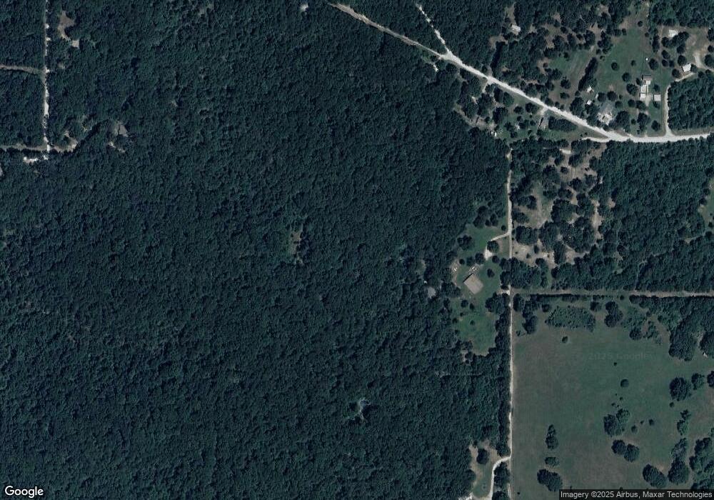
Map
Nearby Homes
- 14356 S Hwy 82
- 10015 E 632 Rd
- 4100 N 430 Rd
- 5969 E 620 Rd
- 5747 E 620 Rd
- 0 E 610 Rd Unit 2542638
- 0 S 4409 Rd
- 58 Oak
- 11838 E 650 Rd
- 0 439 Rd S Unit 2550215
- 8465 W 660 Rd Hulbert Unit OK 74441
- 8465 W 660 Rd
- 0 E 630 Rd Unit 2551216
- 8683 N 436 Rd
- 6947 N 460 Rd
- 9212 S 443 Rd
- 8670 S 4468 Ln
- 13037 E 590 Rd
- 0 S 043 Rd Unit 2512653
- 10761 E 590 Rd
- 8499 E 630
- 114 S 4408 Rd
- 8385 E 630
- 14356 State Highway 82
- 14356 Hw 82 S
- 8121 E 630
- 8767 E 630 Rd
- 14186 S Highway 82
- 14259 S Highway 82
- 626 E Ross Unit 7030
- 14357 S Highway 82
- 7030 E 626 Rd
- 8015 E 630
- 0 E 626 Rd
- 14259 S 442 Rd
- 14155 S 442 Rd
- 13921 S 442 Rd
- 13510 S 443 Rd
- 13990 S 442 Rd
- 13643 S 442 Rd
Your Personal Tour Guide
Ask me questions while you tour the home.