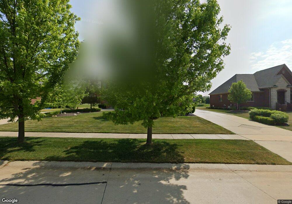
62550 Morningside Dr Washington, MI 48094
Estimated Value: $1,017,000 - $1,272,000
4
Beds
4
Baths
3,553
Sq Ft
$313/Sq Ft
Est. Value
About This Home
This home is located at 62550 Morningside Dr, Washington, MI 48094 and is currently estimated at $1,113,795, approximately $313 per square foot. 62550 Morningside Dr is a home located in Macomb County with nearby schools including Indian Hills Elementary School and Cross Of Glory Lutheran School.
Ownership History
Date
Name
Owned For
Owner Type
Purchase Details
Closed on
Sep 2, 2005
Sold by
Mickovski Kirko and Mickovski Carol L
Bought by
Henein Michael N and Henein Kathleen A
Current Estimated Value
Purchase Details
Closed on
Apr 9, 2004
Sold by
Ljajcaj Michael and Ljajcaj Vera
Bought by
Mickovski Kirko and Mickovski Carol L
Purchase Details
Closed on
Jun 11, 2003
Sold by
Crystal Creek North Inc
Bought by
Ljajcaj Michael and Ljajcaj Vera
Create a Home Valuation Report for This Property
The Home Valuation Report is an in-depth analysis detailing your home's value as well as a comparison with similar homes in the area
Home Values in the Area
Average Home Value in this Area
Purchase History
| Date | Buyer | Sale Price | Title Company |
|---|---|---|---|
| Henein Michael N | $220,000 | Philip R Seaver Title Co Inc | |
| Mickovski Kirko | $199,999 | -- | |
| Ljajcaj Michael | -- | -- |
Source: Public Records
Tax History Compared to Growth
Tax History
| Year | Tax Paid | Tax Assessment Tax Assessment Total Assessment is a certain percentage of the fair market value that is determined by local assessors to be the total taxable value of land and additions on the property. | Land | Improvement |
|---|---|---|---|---|
| 2025 | $10,151 | $538,700 | $0 | $0 |
| 2024 | $6,857 | $493,600 | $0 | $0 |
| 2023 | $6,609 | $451,900 | $0 | $0 |
| 2022 | $9,184 | $419,400 | $0 | $0 |
| 2021 | $8,984 | $400,100 | $0 | $0 |
| 2020 | $6,120 | $402,900 | $0 | $0 |
| 2019 | $8,244 | $389,200 | $0 | $0 |
| 2018 | $7,835 | $351,700 | $0 | $0 |
| 2017 | $7,791 | $323,800 | $62,500 | $261,300 |
| 2016 | $7,804 | $323,800 | $0 | $0 |
| 2015 | -- | $305,500 | $0 | $0 |
| 2013 | $7,712 | $298,500 | $42,500 | $256,000 |
| 2012 | $7,712 | $246,200 | $0 | $0 |
Source: Public Records
Map
Nearby Homes
- 6489 Pond Dr
- 62650 Mound Rd
- 63023 Ivy Dr
- 6000 29 Mile Rd
- 63156 W Charleston Dr
- 62042 Mound Rd
- 61784 Bunker Hill Dr
- 63172 W Charleston Dr Unit 56
- 63150 Mound Rd
- 7458 Augusta Dr Unit 824
- 63652 Redbud Dr
- 7331 Mulberry Dr Unit 27
- 7433 Mulberry Dr Unit 30
- 7481 Mulberry Dr Unit 32
- 7499 Mulberry Dr
- 63677 Mulberry Dr Unit 1
- 63744 Mulberry Dr Unit 38
- 63725 Mulberry Dr
- 61723 W Point Dr
- 7550 Sawgrass Dr
- 62596 Morningside Dr
- 62504 Morningside Dr
- 62642 Morningside Dr
- 62458 Morningside Dr
- 62527 Morningside Dr
- 62619 Morningside Dr
- 62688 Morningside Dr
- 62481 Morningside Dr
- 6535 Pond Dr
- 62665 Morningside Dr
- 6437 Pond Dr
- 62739 Somerset Blvd
- 62734 Morningside Dr
- 62711 Morningside Dr
- 6391 Pond Dr
- 62702 Somerset Blvd
- 6627 Pond Dr
- 6345 Pond Dr Unit Bldg-Unit
- 6345 Pond Dr
- 62757 Morningside Dr