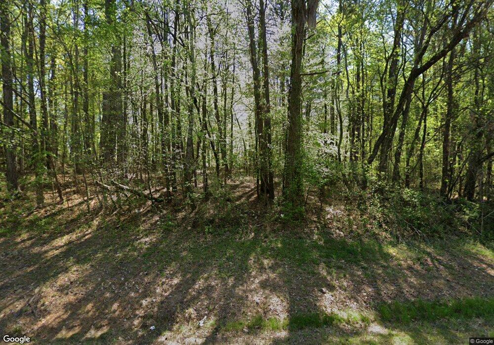
6259 Highway 9 S Dawsonville, GA 30534
Dawson County NeighborhoodEstimated Value: $460,000
--
Bed
1
Bath
1,214
Sq Ft
$379/Sq Ft
Est. Value
About This Home
This home is located at 6259 Highway 9 S, Dawsonville, GA 30534 and is currently estimated at $460,000, approximately $378 per square foot. 6259 Highway 9 S is a home located in Dawson County with nearby schools including Riverview Elementary School, Dawson County Middle School, and Dawson County Junior High School.
Ownership History
Date
Name
Owned For
Owner Type
Purchase Details
Closed on
Mar 11, 1993
Sold by
Lamb Rose and Lamb
Bought by
Buice Louie C
Current Estimated Value
Purchase Details
Closed on
Oct 6, 1988
Sold by
Howard William
Bought by
Lamb Rose and Lamb
Purchase Details
Closed on
Dec 10, 1985
Sold by
Howard Carmen and Howard Will
Bought by
Howard William
Purchase Details
Closed on
Aug 29, 1977
Bought by
Howard Carmen and Howard Will
Create a Home Valuation Report for This Property
The Home Valuation Report is an in-depth analysis detailing your home's value as well as a comparison with similar homes in the area
Home Values in the Area
Average Home Value in this Area
Purchase History
| Date | Buyer | Sale Price | Title Company |
|---|---|---|---|
| Buice Louie C | $154,200 | -- | |
| Lamb Rose | -- | -- | |
| Howard William | -- | -- | |
| Howard Carmen | -- | -- |
Source: Public Records
Tax History Compared to Growth
Tax History
| Year | Tax Paid | Tax Assessment Tax Assessment Total Assessment is a certain percentage of the fair market value that is determined by local assessors to be the total taxable value of land and additions on the property. | Land | Improvement |
|---|---|---|---|---|
| 2024 | $136 | $168,836 | $166,120 | $2,716 |
| 2023 | $132 | $127,076 | $124,360 | $2,716 |
| 2022 | $155 | $99,108 | $97,160 | $1,948 |
| 2021 | $179 | $100,768 | $97,160 | $3,608 |
| 2020 | $184 | $121,048 | $117,440 | $3,608 |
| 2019 | $182 | $121,048 | $117,440 | $3,608 |
| 2018 | $180 | $121,048 | $117,440 | $3,608 |
| 2017 | $164 | $96,154 | $90,626 | $5,528 |
| 2016 | $224 | $96,083 | $90,626 | $5,457 |
| 2015 | $229 | $87,844 | $82,387 | $5,457 |
| 2014 | $221 | $87,345 | $82,387 | $4,958 |
| 2013 | -- | $86,970 | $82,387 | $4,582 |
Source: Public Records
Map
Nearby Homes
- 7840 Silversmith Ct
- 8450 Forsyth Dr
- 6485 Forsyth Dr
- 8020 Estee Dr
- 25 Haley Dr
- 6910 Concord Brook Ln
- 244 Bryn Brooke Dr
- 7055 Concord Brook Ln
- 150 Dawson Manor Dr
- 101 White Cedar Dr
- 59 Elderberry Cir
- 7185 Carruthers Way
- 7185 Carruthers Way Unit LOT 26
- 7215 Carruthers Way
- 7225 Carruthers Way
- 7215 Carruthers Way Unit LOT 24
- 7195 Carruthers Way Unit LOT 25
- 7225 Carruthers Way Unit LOT 23
- 7195 Carruthers Way
- 6259 Highway 9 S
- 6965 Alan Thomas Rd
- 6175 Highway 9 S
- 6337 Highway 9 S
- 6337 Georgia 9
- 0 Alan Thomas Rd Unit 7427217
- 0 Alan Thomas Rd Unit 8500059
- 0 Alan Thomas Rd Unit 8500116
- 6300 Highway 9 S
- 5917 Highway 9 S
- 773 Jewell Slaton Rd
- 5917 Georgia 9
- 6214 Highway 9 S
- 6495 Highway 9 S
- 978 Jewell Slaton Rd
- 6495 Highway 9 S
- 6046 Highway 9 S
- 5960 Highway 9 S
- 7090 Alan Thomas Rd
- 7090 Alan Thomas Rd
