6259 Joshua Peak Ave Las Vegas, NV 89141
Southern Highlands NeighborhoodEstimated Value: $822,067 - $954,000
4
Beds
4
Baths
2,670
Sq Ft
$337/Sq Ft
Est. Value
About This Home
This home is located at 6259 Joshua Peak Ave, Las Vegas, NV 89141 and is currently estimated at $899,017, approximately $336 per square foot. 6259 Joshua Peak Ave is a home with nearby schools including Charles & Phyllis Frias Elementary School, Lois & Jerry Tarkanian Middle School, and Desert Oasis High School.
Ownership History
Date
Name
Owned For
Owner Type
Purchase Details
Closed on
Apr 1, 2020
Sold by
Dreger Timothy K
Bought by
Dreger Timothy K and The Trinity Place Trust
Current Estimated Value
Purchase Details
Closed on
Nov 3, 2018
Sold by
Richmond American Homes Of Nevada Inc
Bought by
Dreger Timothy K
Home Financials for this Owner
Home Financials are based on the most recent Mortgage that was taken out on this home.
Original Mortgage
$505,323
Outstanding Balance
$444,330
Interest Rate
4.8%
Mortgage Type
VA
Estimated Equity
$454,687
Create a Home Valuation Report for This Property
The Home Valuation Report is an in-depth analysis detailing your home's value as well as a comparison with similar homes in the area
Home Values in the Area
Average Home Value in this Area
Purchase History
| Date | Buyer | Sale Price | Title Company |
|---|---|---|---|
| Dreger Timothy K | -- | None Available | |
| Dreger Timothy K | $522,731 | Ticor Title Las Vegas Dur |
Source: Public Records
Mortgage History
| Date | Status | Borrower | Loan Amount |
|---|---|---|---|
| Open | Dreger Timothy K | $505,323 |
Source: Public Records
Tax History Compared to Growth
Tax History
| Year | Tax Paid | Tax Assessment Tax Assessment Total Assessment is a certain percentage of the fair market value that is determined by local assessors to be the total taxable value of land and additions on the property. | Land | Improvement |
|---|---|---|---|---|
| 2025 | $5,054 | $243,450 | $52,500 | $190,950 |
| 2024 | $4,908 | $243,450 | $52,500 | $190,950 |
| 2023 | $4,908 | $224,374 | $47,250 | $177,124 |
| 2022 | $4,813 | $203,267 | $42,000 | $161,267 |
| 2021 | $4,693 | $164,422 | $36,750 | $127,672 |
| 2020 | $4,011 | $166,030 | $40,425 | $125,605 |
| 2019 | $3,766 | $151,223 | $33,320 | $117,903 |
| 2018 | $864 | $0 | $0 | $0 |
Source: Public Records
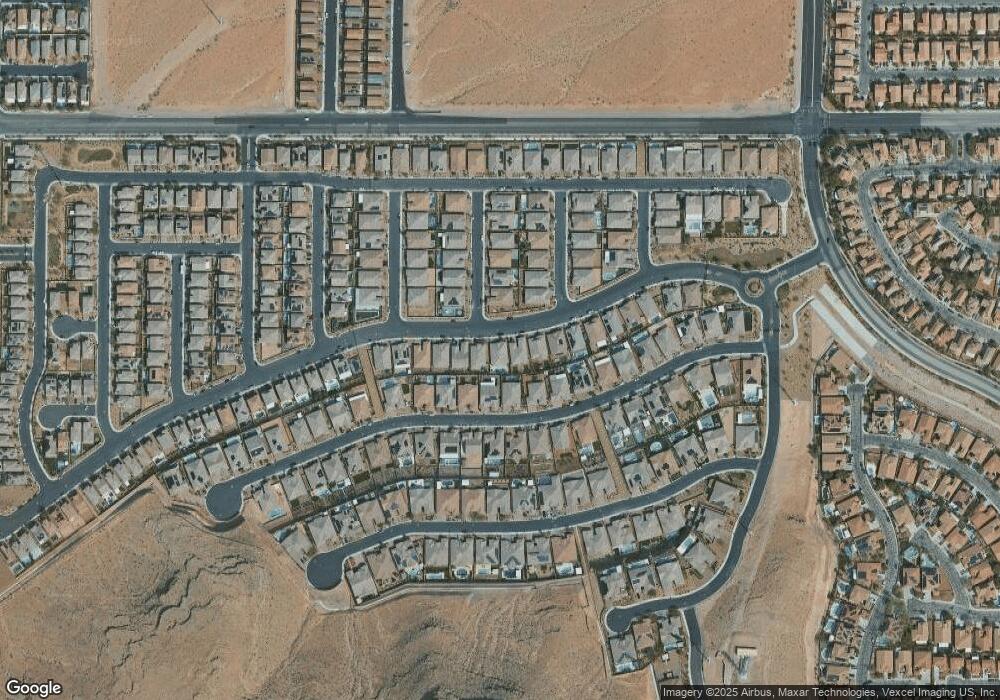
Map
Nearby Homes
- 6248 Carol Butte Ct
- 6160 Lautman Ridge Ct
- 6315 Carol Butte Ct
- 11032 Brandan Alps St
- 6442 Kobe Knoll Ct
- 6496 Cape Canyon Ct
- 5914 Attavilla Dr
- 6476 Little Harbor Ct
- 11218 Dolcetto Dr
- 5954 Varese Dr
- 5914 Tinazzi Way
- 5966 Candia Ct
- 6255 Dollar Bill Ct
- 6279 Dollar Bill Ct
- 6134 W Levi Ave
- 6516 Blessed Thistle Ave
- 6534 Blessed Thistle Ave
- 6034 Genovese Ave
- 5832 Ivy Vine Ct
- 5909 Candia Ct
- 6267 Joshua Peak Ave
- 6251 Joshua Peak Ave
- 6248 Lautman Ridge Ct
- 6275 Joshua Peak Ave
- 6240 Lautman Ridge Ct
- 6243 Joshua Peak Ave
- 6256 Lautman Ridge Ct
- 10984 Sophie Mound St
- 6283 Joshua Peak Ave
- 6235 Joshua Peak Ave
- 6264 Lautman Ridge Ct
- 6224 Lautman Ridge Ct
- 10997 Tanner Crest St
- 10983 Sophie Mound St
- 6291 Joshua Peak Ave
- 10976 Sophie Mound St
- 6227 Joshua Peak Ave
- 6272 Lautman Ridge Ct
- 6216 Lautman Ridge Ct
- 10989 Tanner Crest St