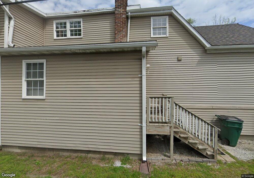
626 119th St Whiting, IN 46394
Estimated Value: $164,000 - $278,000
2
Beds
2
Baths
1,361
Sq Ft
$153/Sq Ft
Est. Value
About This Home
This home is located at 626 119th St, Whiting, IN 46394 and is currently estimated at $207,741, approximately $152 per square foot. 626 119th St is a home located in Lake County with nearby schools including Benjamin Franklin Elementary School, Eggers Middle School, and Hammond High School.
Ownership History
Date
Name
Owned For
Owner Type
Purchase Details
Closed on
Jul 27, 2023
Sold by
Minniti Elizabeth Ann
Bought by
Elizabeth A Minniti Revocable Living Trust and Minniti
Current Estimated Value
Purchase Details
Closed on
Jul 20, 2023
Sold by
Minniti Elizabeth Ann
Bought by
Elizabeth A Minniti Revocable Living Trust and Minniti
Purchase Details
Closed on
Dec 29, 2006
Sold by
Kaczmark Gregory
Bought by
Minniti Beth
Home Financials for this Owner
Home Financials are based on the most recent Mortgage that was taken out on this home.
Original Mortgage
$45,000
Interest Rate
7%
Mortgage Type
Seller Take Back
Create a Home Valuation Report for This Property
The Home Valuation Report is an in-depth analysis detailing your home's value as well as a comparison with similar homes in the area
Home Values in the Area
Average Home Value in this Area
Purchase History
| Date | Buyer | Sale Price | Title Company |
|---|---|---|---|
| Elizabeth A Minniti Revocable Living Trust | -- | None Listed On Document | |
| Elizabeth A Minniti Revocable Living Trust | -- | None Listed On Document | |
| Minniti Beth | -- | None Available | |
| Kaczmark Gregory | -- | None Available |
Source: Public Records
Mortgage History
| Date | Status | Borrower | Loan Amount |
|---|---|---|---|
| Previous Owner | Kaczmark Gregory | $45,000 |
Source: Public Records
Tax History Compared to Growth
Tax History
| Year | Tax Paid | Tax Assessment Tax Assessment Total Assessment is a certain percentage of the fair market value that is determined by local assessors to be the total taxable value of land and additions on the property. | Land | Improvement |
|---|---|---|---|---|
| 2024 | $3,078 | $64,000 | $43,900 | $20,100 |
| 2023 | $1,704 | $64,400 | $44,800 | $19,600 |
| 2022 | $1,704 | $63,600 | $44,800 | $18,800 |
| 2021 | $1,965 | $72,500 | $22,500 | $50,000 |
| 2020 | $1,851 | $67,800 | $22,500 | $45,300 |
| 2019 | $1,172 | $39,000 | $22,500 | $16,500 |
| 2018 | $1,212 | $37,600 | $22,500 | $15,100 |
| 2017 | $1,355 | $36,800 | $22,500 | $14,300 |
| 2016 | $1,783 | $56,900 | $22,500 | $34,400 |
| 2014 | $3,502 | $111,800 | $22,500 | $89,300 |
| 2013 | $2,692 | $90,800 | $22,500 | $68,300 |
Source: Public Records
Map
Nearby Homes
- 1944 Warwick Ave
- 1717 Warwick Ave
- 1709 Parkview Ave
- 1726 Davis Ave
- 1539 Warwick Ave
- 2024 Lake Ave
- 1916 Wespark Ave
- 1529 Warwick Ave
- 2231 Davis Ave
- 1014 Reese Ave
- 1430 Stanton Ave
- 1514 Amy Ave
- 1710 Atchison Ave
- 2036 Atchison Ave
- 2134 Lincoln Ave
- 1643 Roberts Ave
- 1423 Lake Ave
- 1511 Roberts Ave
- 1409 Lake Ave
- 1630 Cleveland Ave