626 Anthony Trail Northbrook, IL 60062
Estimated Value: $361,382
Studio
--
Bath
--
Sq Ft
4.3
Acres Lot
About This Home
This home is located at 626 Anthony Trail, Northbrook, IL 60062 and is currently estimated at $361,382. 626 Anthony Trail is a home located in Cook County with nearby schools including Hickory Point Elementary School, Shabonee Elementary School, and Wood Oaks Jr High School.
Ownership History
Date
Name
Owned For
Owner Type
Purchase Details
Closed on
Dec 11, 2013
Sold by
Unbel Llc
Bought by
Stotis Llc
Current Estimated Value
Purchase Details
Closed on
Jan 9, 2012
Sold by
Unb 626 Llc
Bought by
Unbel Llc
Purchase Details
Closed on
Jun 10, 2011
Sold by
626 Anthony Trail Llc
Bought by
Unb 626 Llc
Purchase Details
Closed on
Jan 9, 2008
Sold by
Chicago Title Land Trust Co
Bought by
626 Anthony Trail Llc
Home Financials for this Owner
Home Financials are based on the most recent Mortgage that was taken out on this home.
Original Mortgage
$304,000
Interest Rate
6.85%
Mortgage Type
Commercial
Create a Home Valuation Report for This Property
The Home Valuation Report is an in-depth analysis detailing your home's value as well as a comparison with similar homes in the area
Home Values in the Area
Average Home Value in this Area
Purchase History
We collect this data history from publicly available records. To have your information removed, we recommend requesting removal directly through your county’s website.
| Date | Buyer | Sale Price | Title Company |
|---|---|---|---|
| Stotis Llc | $200,000 | Cti | |
| Unbel Llc | -- | None Available | |
| Unb 626 Llc | -- | None Available | |
| 626 Anthony Trail Llc | $380,000 | None Available |
Source: Public Records
Mortgage History
We collect this data history from publicly available records. To have your information removed, we recommend requesting removal directly through your county’s website.
| Date | Status | Borrower | Loan Amount |
|---|---|---|---|
| Previous Owner | 626 Anthony Trail Llc | $304,000 |
Source: Public Records
Tax History
| Year | Tax Paid | Tax Assessment Tax Assessment Total Assessment is a certain percentage of the fair market value that is determined by local assessors to be the total taxable value of land and additions on the property. | Land | Improvement |
|---|---|---|---|---|
| 2025 | $13,172 | $62,250 | $26,626 | $35,624 |
| 2024 | $13,172 | $56,473 | $22,189 | $34,284 |
| 2023 | $12,723 | $56,473 | $22,189 | $34,284 |
| 2022 | $12,723 | $56,473 | $22,189 | $34,284 |
| 2021 | $13,164 | $52,000 | $22,188 | $29,812 |
| 2020 | $12,969 | $52,000 | $22,188 | $29,812 |
| 2019 | $12,797 | $57,750 | $22,188 | $35,562 |
| 2018 | $13,256 | $55,000 | $15,531 | $39,469 |
| 2017 | $12,884 | $55,000 | $15,531 | $39,469 |
| 2016 | $12,083 | $55,000 | $15,531 | $39,469 |
| 2015 | $13,254 | $54,300 | $13,313 | $40,987 |
| 2014 | $11,910 | $50,000 | $13,313 | $36,687 |
| 2013 | $11,573 | $49,999 | $13,313 | $36,686 |
Source: Public Records
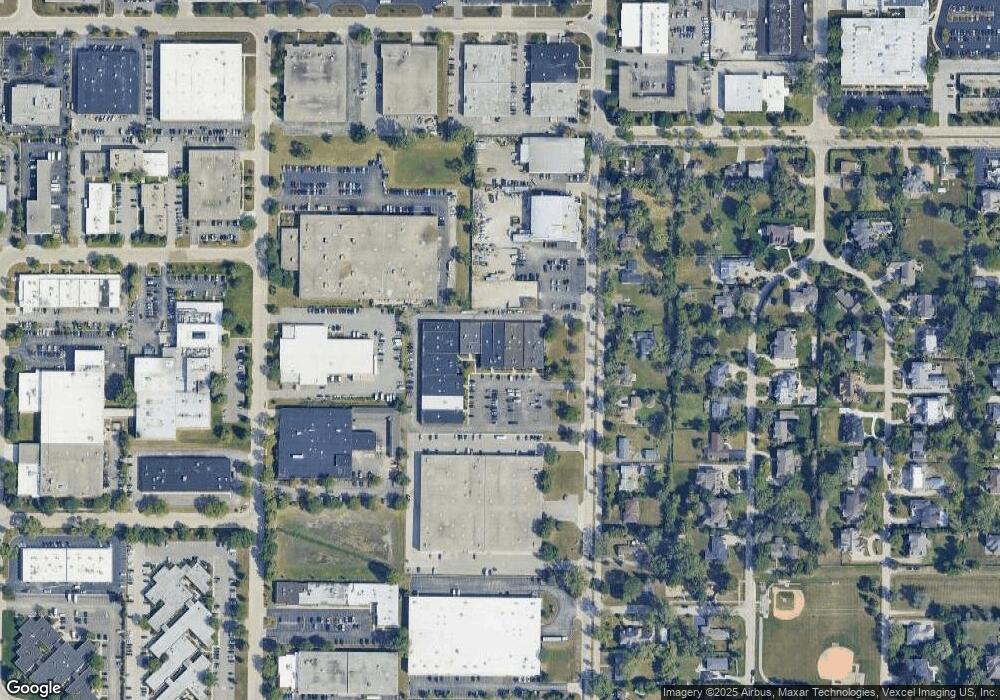
Map
Nearby Homes
- 575 Helen Dr
- 701 Anthony Trail
- 3030 Pheasant Creek Dr Unit 405
- 2747 Wilshire Ln
- 925 Spring Hill Dr Unit 102
- 925 Spring Hill Dr Unit 212
- 579 Greenwood Rd
- 505 Banyan Dr
- 3110 Pheasant Creek Dr Unit 101
- 3110 Pheasant Creek Dr Unit 104
- 3110 Pheasant Creek Dr Unit 213
- 3110 Pheasant Creek Dr Unit A
- 3110 Pheasant Creek Dr Unit 318
- 3549 Bayberry Dr
- 11 Birchwood Ave
- 363 Anjou Dr Unit 4
- 121 Pine St
- 1107 Donegal Ln
- 48 Birchwood Ave
- 208 Pine St
- 628 Anthony Trail
- 618 Anthony Trail
- 610 Anthony Trail
- 612 Anthony Trail
- 640 Anthony Trail
- 620 Anthony Trail
- 530 Anthony Trail
- 500 Anthony Trail
- 450 Anthony Trail
- 485 Anthony Trail
- 471 Anthony Trail
- 501 Anthony Trail
- 455 Anthony Trail
- 441 Anthony Trail
- 531 Anthony Trail
- 425 Anthony Trail
- 545 Anthony Trail
- 2995 Maria Ave
- 555 Anthony Trail
- 474 Helen Dr
Your Personal Tour Guide
Ask me questions while you tour the home.