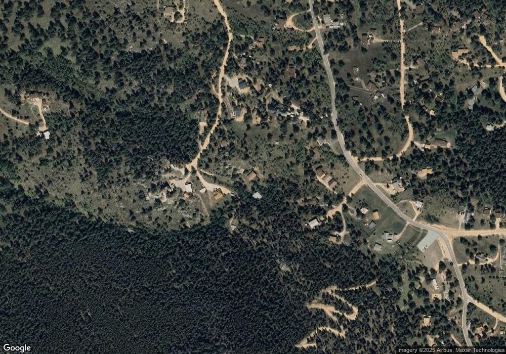
626 Aspen Ln Bailey, CO 80421
Estimated Value: $679,000 - $789,000
3
Beds
2
Baths
2,079
Sq Ft
$364/Sq Ft
Est. Value
About This Home
This home is located at 626 Aspen Ln, Bailey, CO 80421 and is currently estimated at $756,977, approximately $364 per square foot. 626 Aspen Ln is a home located in Park County with nearby schools including Deer Creek Elementary School, Fitzsimmons Middle School, and Platte Canyon High School.
Ownership History
Date
Name
Owned For
Owner Type
Purchase Details
Closed on
Aug 16, 2016
Sold by
Vanesselstine Mark L and Vanesselstine Cecilia L
Bought by
Muckley Peter A and Muckley Susan C
Current Estimated Value
Home Financials for this Owner
Home Financials are based on the most recent Mortgage that was taken out on this home.
Original Mortgage
$264,500
Outstanding Balance
$208,248
Interest Rate
3.41%
Mortgage Type
New Conventional
Estimated Equity
$548,729
Purchase Details
Closed on
Dec 31, 2009
Sold by
Fannie Mae
Bought by
Vanesselstine Mark L and Vanesselstine Cecilia L
Home Financials for this Owner
Home Financials are based on the most recent Mortgage that was taken out on this home.
Original Mortgage
$179,667
Interest Rate
4.8%
Mortgage Type
FHA
Purchase Details
Closed on
Sep 11, 2009
Sold by
Jones Richard G
Bought by
Federal National Mortgage Association
Create a Home Valuation Report for This Property
The Home Valuation Report is an in-depth analysis detailing your home's value as well as a comparison with similar homes in the area
Home Values in the Area
Average Home Value in this Area
Purchase History
| Date | Buyer | Sale Price | Title Company |
|---|---|---|---|
| Muckley Peter A | $344,500 | Fidelity National Title Insu | |
| Vanesselstine Mark L | $162,200 | None Available | |
| Federal National Mortgage Association | -- | None Available |
Source: Public Records
Mortgage History
| Date | Status | Borrower | Loan Amount |
|---|---|---|---|
| Open | Muckley Peter A | $264,500 | |
| Previous Owner | Vanesselstine Mark L | $179,667 |
Source: Public Records
Tax History
| Year | Tax Paid | Tax Assessment Tax Assessment Total Assessment is a certain percentage of the fair market value that is determined by local assessors to be the total taxable value of land and additions on the property. | Land | Improvement |
|---|---|---|---|---|
| 2025 | $2,937 | $45,880 | $9,020 | $36,860 |
| 2024 | $2,401 | $40,590 | $8,860 | $31,730 |
| 2023 | $2,401 | $40,590 | $8,860 | $31,730 |
| 2022 | $1,981 | $31,281 | $4,877 | $26,404 |
| 2021 | $1,964 | $32,180 | $5,020 | $27,160 |
| 2020 | $1,870 | $29,420 | $3,590 | $25,830 |
| 2019 | $1,844 | $29,420 | $3,590 | $25,830 |
| 2018 | $1,548 | $29,420 | $3,590 | $25,830 |
| 2017 | $1,546 | $23,930 | $3,460 | $20,470 |
| 2016 | $1,334 | $20,550 | $3,600 | $16,950 |
| 2015 | $1,346 | $20,550 | $3,600 | $16,950 |
| 2014 | $1,067 | $0 | $0 | $0 |
Source: Public Records
Map
Nearby Homes
- 1845 Burland Dr
- 815 Burland Dr
- 541 Beaver Trail
- 20 Parkview
- 145 Bailey Dr
- 52 Deer Trail Dr
- 400 Crow Valley Rd
- 147 Overlook Dr
- 682 Buddy Rd
- 170 Blackbird Dr
- 1889 Burland Dr
- 1740 County Road 72
- 206 Virginia Rd
- 303 Virginia Rd Unit E
- 4501 County Road 72
- 5138 County Road 64
- 5064 County Road 64
- 12 High View Ln
- 364 Sleepy Hollow Dr
- 42 Catamount Ridge Rd
