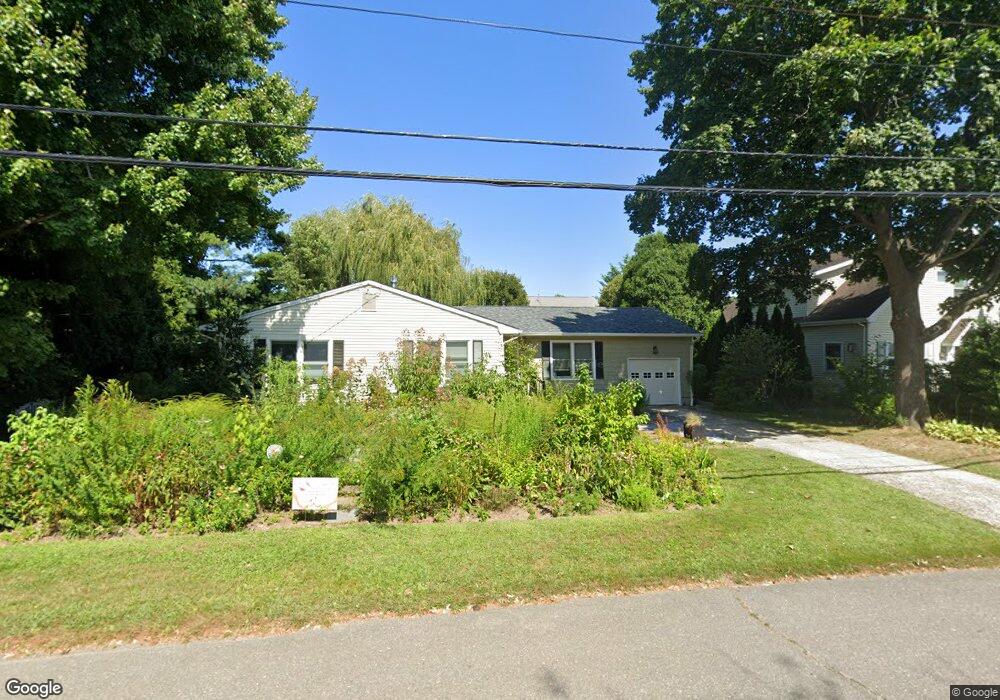
626 Borrie Ave Brielle, NJ 08730
Estimated Value: $964,370 - $1,024,000
3
Beds
2
Baths
1,495
Sq Ft
$666/Sq Ft
Est. Value
About This Home
This home is located at 626 Borrie Ave, Brielle, NJ 08730 and is currently estimated at $995,843, approximately $666 per square foot. 626 Borrie Ave is a home located in Monmouth County with nearby schools including Brielle Elementary School and St. Peter School.
Ownership History
Date
Name
Owned For
Owner Type
Purchase Details
Closed on
Jan 26, 2010
Sold by
Dettlinger Michael K and Dettlinger Karen K
Bought by
Rowe Kim A and Barton Patrick J
Current Estimated Value
Home Financials for this Owner
Home Financials are based on the most recent Mortgage that was taken out on this home.
Original Mortgage
$408,000
Outstanding Balance
$270,297
Interest Rate
5.05%
Mortgage Type
New Conventional
Estimated Equity
$725,546
Create a Home Valuation Report for This Property
The Home Valuation Report is an in-depth analysis detailing your home's value as well as a comparison with similar homes in the area
Home Values in the Area
Average Home Value in this Area
Purchase History
| Date | Buyer | Sale Price | Title Company |
|---|---|---|---|
| Rowe Kim A | $510,000 | None Available |
Source: Public Records
Mortgage History
| Date | Status | Borrower | Loan Amount |
|---|---|---|---|
| Open | Rowe Kim A | $408,000 |
Source: Public Records
Tax History Compared to Growth
Tax History
| Year | Tax Paid | Tax Assessment Tax Assessment Total Assessment is a certain percentage of the fair market value that is determined by local assessors to be the total taxable value of land and additions on the property. | Land | Improvement |
|---|---|---|---|---|
| 2025 | $10,269 | $877,600 | $589,000 | $288,600 |
| 2024 | $9,210 | $827,500 | $544,200 | $283,300 |
| 2023 | $9,210 | $716,700 | $440,000 | $276,700 |
| 2022 | $8,286 | $628,400 | $365,000 | $263,400 |
| 2021 | $8,286 | $540,500 | $340,000 | $200,500 |
| 2020 | $8,652 | $528,500 | $315,000 | $213,500 |
| 2019 | $8,505 | $527,300 | $315,000 | $212,300 |
| 2018 | $8,454 | $517,400 | $315,000 | $202,400 |
| 2017 | $8,455 | $511,200 | $315,000 | $196,200 |
| 2016 | $8,359 | $506,300 | $315,000 | $191,300 |
| 2015 | $8,275 | $497,600 | $315,000 | $182,600 |
| 2014 | $7,095 | $455,400 | $356,400 | $99,000 |
Source: Public Records
Map
Nearby Homes
- 619 Park Ave
- 300 Union Ave
- 308 South St
- 542 Woodland Ave
- 610 Agnes Ave
- 14 Lebanon Dr
- 508 Harris Ave
- 507 Magnolia Ave
- 130 Union Ave
- 323-325 Fisk Ave
- 203 Lenape Trail
- 329 Fisk Ave
- 34 Gertrude Place
- 1210 Bayberry Rd
- 642 Rankin Rd
- 806 Riverview Dr
- 116 Curtis Ave
- 1307 W Union Ln Unit A4
- 816 Rathjen Rd
- 355 Cedar Ave
- 624 Borrie Ave
- 622 Borrie Ave
- 625 Borrie Ave
- 402 Morgan Pkwy
- 623 Borrie Ave
- 621 Borrie Ave
- 625 Woodland Ave Unit 627
- 616 Borrie Ave
- 629 Woodland Ave
- 630 Borrie Ave
- 619 Borrie Ave
- 623 Woodland Ave
- 624 Harris Ave
- 619 Woodland Ave
- 633 Borrie Ave
- 404 Morgan Pkwy
- 621 Woodland Ave
- 622 Harris Ave
- 633 Woodland Ave
- 632 Borrie Ave