626 Left Fork Rd Wadestown, WV 26590
Estimated Value: $185,000 - $495,000
6
Beds
4
Baths
4,886
Sq Ft
$79/Sq Ft
Est. Value
About This Home
This home is located at 626 Left Fork Rd, Wadestown, WV 26590 and is currently estimated at $383,579, approximately $78 per square foot. 626 Left Fork Rd is a home with nearby schools including Mason-Dixon Elementary School and Clay-Battelle Middle/High School.
Ownership History
Date
Name
Owned For
Owner Type
Purchase Details
Closed on
Sep 16, 2021
Sold by
John And Joann King Irrevocable Trust
Bought by
Cnx Gas Company Llc
Current Estimated Value
Purchase Details
Closed on
Jan 20, 2020
Sold by
King John K and King Joann S
Bought by
King William E and King Cynthia Barnhart
Purchase Details
Closed on
Aug 21, 2008
Sold by
Spears William R and Spears Judy K
Bought by
Spears Heidi
Create a Home Valuation Report for This Property
The Home Valuation Report is an in-depth analysis detailing your home's value as well as a comparison with similar homes in the area
Purchase History
| Date | Buyer | Sale Price | Title Company |
|---|---|---|---|
| Cnx Gas Company Llc | -- | None Listed On Document | |
| King William E | -- | None Available | |
| Spears Heidi | -- | None Available |
Source: Public Records
Tax History
| Year | Tax Paid | Tax Assessment Tax Assessment Total Assessment is a certain percentage of the fair market value that is determined by local assessors to be the total taxable value of land and additions on the property. | Land | Improvement |
|---|---|---|---|---|
| 2025 | $2,285 | $213,900 | $17,040 | $196,860 |
| 2024 | $2,285 | $216,120 | $17,040 | $199,080 |
| 2023 | $2,303 | $216,120 | $17,040 | $199,080 |
| 2022 | $2,175 | $212,280 | $16,800 | $195,480 |
| 2021 | $559 | $54,300 | $16,800 | $37,500 |
| 2020 | $588 | $56,880 | $16,800 | $40,080 |
| 2019 | $606 | $58,200 | $16,800 | $41,400 |
| 2018 | $617 | $59,040 | $16,800 | $42,240 |
| 2017 | $627 | $59,700 | $16,560 | $43,140 |
| 2016 | $640 | $60,540 | $16,560 | $43,980 |
| 2015 | $664 | $65,640 | $16,560 | $49,080 |
| 2014 | $1,140 | $59,100 | $15,900 | $43,200 |
Source: Public Records
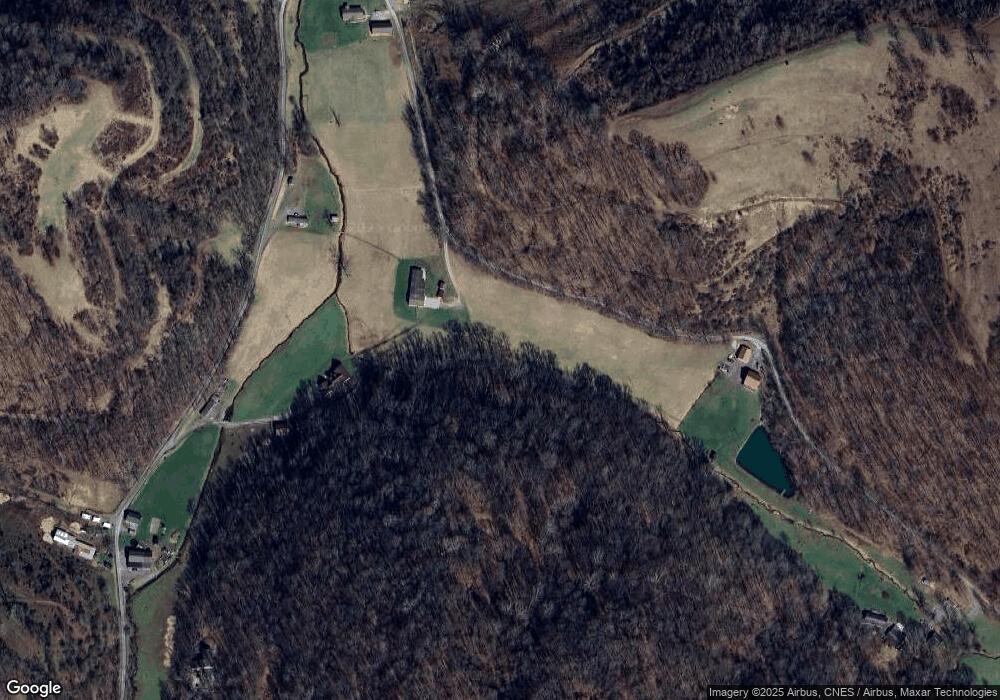
Map
Nearby Homes
- 1931 Saint Leo Rd
- 223 Dudley Fork Rd
- Lot 1 State Fork Rd
- TBD Daybrook Rd
- 106 Madison St
- Lot 1 Miracle Run Rd
- Lot 1 Miracle Run Rd
- 17 Hannah Ln
- Rd Unit Lot WP001
- TBD Rush Run Rd
- Lot 1 States Fork Rd
- 0 Pyles Fork Rd
- TBD Pyles Ave
- 1742 Rush Run Rd
- 832 Church Fork Rd
- 403 James St
- 808 Rush Run Rd
- 0 Wyatt Rd Unit 11650775
- 0 Marshall St
- TBD Highland St
- 318 Left Fork Rd
- 229 Left Fork Rd
- 314 Left Fork Rd
- 154 Left Fork Rd
- 94 Left Fork Rd
- 710 Left Fork Rd
- 474 Zeb Haught Rd
- 761 Zeb Haught Rd
- 652 Zeb Haught Rd
- 938 Zeb Haught Rd
- 18 Range Rd
- 71 Range Rd
- 599 Zeb Haught Rd
- 599 Zeb Haught Rd
- 1508 Range Rd
- 550 Zeb Haught Rd
- 1115 Zeb Haught Rd
- 796 Range Rd
- 458 Zeb Haught Rd
- 895 Range Rd
Your Personal Tour Guide
Ask me questions while you tour the home.