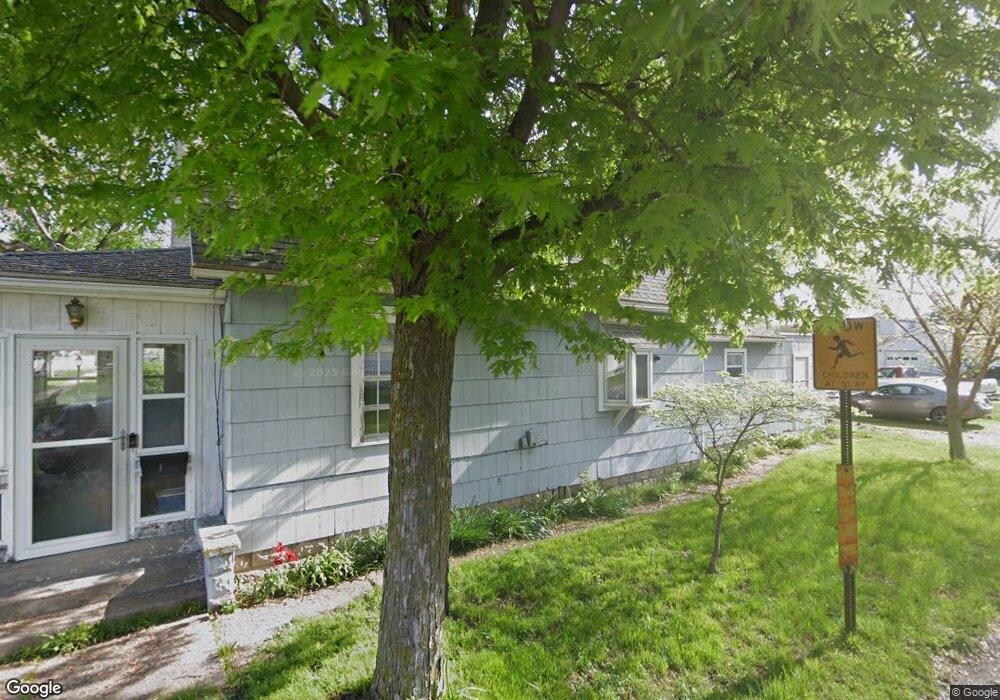
626 N Scott St Delphos, OH 45833
Estimated Value: $82,265 - $145,000
3
Beds
1
Bath
1,222
Sq Ft
$92/Sq Ft
Est. Value
About This Home
This home is located at 626 N Scott St, Delphos, OH 45833 and is currently estimated at $111,816, approximately $91 per square foot. 626 N Scott St is a home located in Allen County with nearby schools including Delphos St. John's High School and Delphos St. John's Elementary School.
Ownership History
Date
Name
Owned For
Owner Type
Purchase Details
Closed on
Jun 27, 2022
Sold by
Karman Shirley L
Bought by
Ries Glen and Ries Patricia
Current Estimated Value
Purchase Details
Closed on
Dec 11, 2007
Sold by
Karman Shirley L
Bought by
Miller William R
Home Financials for this Owner
Home Financials are based on the most recent Mortgage that was taken out on this home.
Original Mortgage
$50,000
Interest Rate
5%
Mortgage Type
Seller Take Back
Purchase Details
Closed on
Jun 5, 1985
Bought by
Karman Shirley L
Create a Home Valuation Report for This Property
The Home Valuation Report is an in-depth analysis detailing your home's value as well as a comparison with similar homes in the area
Home Values in the Area
Average Home Value in this Area
Purchase History
| Date | Buyer | Sale Price | Title Company |
|---|---|---|---|
| Ries Glen | $50,000 | Law Office Of Amanda Waltz Law | |
| Miller William R | $50,000 | None Available | |
| Karman Shirley L | $15,500 | -- |
Source: Public Records
Mortgage History
| Date | Status | Borrower | Loan Amount |
|---|---|---|---|
| Previous Owner | Miller William R | $50,000 |
Source: Public Records
Tax History Compared to Growth
Tax History
| Year | Tax Paid | Tax Assessment Tax Assessment Total Assessment is a certain percentage of the fair market value that is determined by local assessors to be the total taxable value of land and additions on the property. | Land | Improvement |
|---|---|---|---|---|
| 2024 | $964 | $30,980 | $7,700 | $23,280 |
| 2023 | $762 | $23,100 | $5,740 | $17,360 |
| 2022 | $801 | $23,100 | $5,740 | $17,360 |
| 2021 | $808 | $23,100 | $5,740 | $17,360 |
| 2020 | $683 | $20,660 | $5,500 | $15,160 |
| 2019 | $683 | $20,660 | $5,500 | $15,160 |
| 2018 | $722 | $20,660 | $5,500 | $15,160 |
| 2017 | $649 | $19,290 | $5,500 | $13,790 |
| 2016 | $663 | $19,290 | $5,500 | $13,790 |
| 2015 | $593 | $19,290 | $5,500 | $13,790 |
| 2014 | $593 | $17,440 | $5,290 | $12,150 |
| 2013 | $598 | $17,440 | $5,290 | $12,150 |
Source: Public Records
Map
Nearby Homes
- 628 N Pierce St
- 650 E 6th St
- 704 N Franklin St
- 810 N Franklin St
- 610 N Washington St
- 405 N Franklin St
- 821 E 3rd St
- 903 E 3rd St
- 914 E 3rd St
- 210 E 3rd St
- 633 E 2nd St
- 1303 Carolyn Dr
- 1220 Rose Anna Dr
- 503 W 6th St
- 221 S Main St
- 604 W 6th St
- 409 N Bredeick St
- 616 W 5th St
- 424 S Canal St
- 508 S Washington St