626 Norman Rd NE Tignall, GA 30668
Estimated Value: $351,000 - $512,789
3
Beds
2
Baths
2,670
Sq Ft
$162/Sq Ft
Est. Value
About This Home
This home is located at 626 Norman Rd NE, Tignall, GA 30668 and is currently estimated at $433,263, approximately $162 per square foot. 626 Norman Rd NE is a home located in Wilkes County with nearby schools including Washington-Wilkes Elementary School, Washington-Wilkes Primary School, and Washington-Wilkes Middle School.
Ownership History
Date
Name
Owned For
Owner Type
Purchase Details
Closed on
Oct 20, 2011
Sold by
Robinson Leroy W
Bought by
Robinson Jesse L
Current Estimated Value
Purchase Details
Closed on
Dec 1, 1993
Bought by
Robinson Leroy W
Purchase Details
Closed on
Feb 1, 1991
Purchase Details
Closed on
Jun 1, 1990
Purchase Details
Closed on
Apr 1, 1989
Purchase Details
Closed on
Nov 1, 1988
Create a Home Valuation Report for This Property
The Home Valuation Report is an in-depth analysis detailing your home's value as well as a comparison with similar homes in the area
Purchase History
| Date | Buyer | Sale Price | Title Company |
|---|---|---|---|
| Robinson Jesse L | -- | -- | |
| Robinson Leroy W | -- | -- | |
| -- | $140,000 | -- | |
| -- | $280,000 | -- | |
| -- | $494,900 | -- | |
| -- | $476,400 | -- |
Source: Public Records
Tax History
| Year | Tax Paid | Tax Assessment Tax Assessment Total Assessment is a certain percentage of the fair market value that is determined by local assessors to be the total taxable value of land and additions on the property. | Land | Improvement |
|---|---|---|---|---|
| 2025 | $2,378 | $103,096 | $62,165 | $40,931 |
| 2024 | $2,384 | $103,096 | $62,165 | $40,931 |
| 2023 | $2,311 | $103,096 | $62,165 | $40,931 |
| 2022 | $2,279 | $103,096 | $62,165 | $40,931 |
| 2021 | $2,191 | $124,570 | $83,639 | $40,931 |
| 2020 | $2,201 | $124,570 | $83,639 | $40,931 |
| 2019 | $2,195 | $124,570 | $83,639 | $40,931 |
| 2018 | $3,618 | $124,570 | $83,639 | $40,931 |
| 2017 | $3,618 | $124,570 | $83,639 | $40,931 |
| 2016 | $2,044 | $124,570 | $83,639 | $40,931 |
| 2015 | -- | $83,639 | $83,639 | $40,931 |
| 2014 | -- | $124,570 | $83,639 | $40,931 |
| 2013 | -- | $124,695 | $83,639 | $41,056 |
Source: Public Records
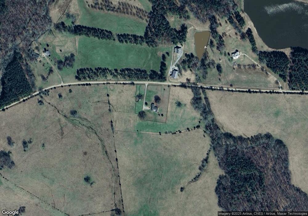
Map
Nearby Homes
- 1 Bunch Rd
- 4 Bunch Rd
- 191 Bunch Rd
- 2973 River Rd
- 1302 River Rd
- 2724 Bells Ferry Rd
- 0 Rogers Rd Unit 10683069
- 179 Independence St
- 0 Anthony Shoals Rd
- 525 S Hulin Ave
- 129 Wooten West St
- 819 Jane Hill Rd
- 2470 Dr George Ward Rd
- 0 Delhi Rd Unit 10679575
- Lot 14b Lbk Cir
- 0 Lincolnton Hwy Unit 10710010
- 6464 Danburg Rd
- 6108 Danburg Rd
- 0 Lbk Rd Unit 32C
- 1650 Ware McLendon Rd
Your Personal Tour Guide
Ask me questions while you tour the home.