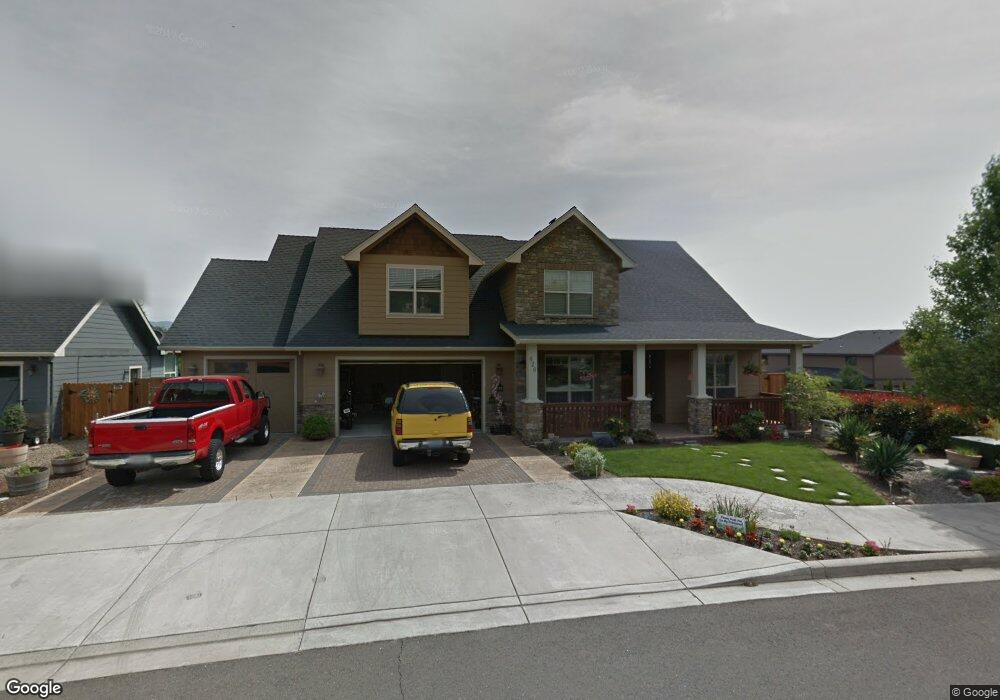
626 Oak Wood Eagle Point, OR 97524
Estimated Value: $696,733 - $817,000
4
Beds
3
Baths
3,257
Sq Ft
$228/Sq Ft
Est. Value
About This Home
This home is located at 626 Oak Wood, Eagle Point, OR 97524 and is currently estimated at $742,683, approximately $228 per square foot. 626 Oak Wood is a home located in Jackson County with nearby schools including White Mountain Middle School, Eagle Point Middle School, and Eagle Point High School.
Ownership History
Date
Name
Owned For
Owner Type
Purchase Details
Closed on
Aug 4, 2008
Sold by
Gifford Homes Llc
Bought by
Clester Donald and Weston Vicky
Current Estimated Value
Purchase Details
Closed on
Aug 23, 2005
Sold by
Pacific Financial Services Llc
Bought by
Gifford Homes Llc
Home Financials for this Owner
Home Financials are based on the most recent Mortgage that was taken out on this home.
Original Mortgage
$370,000
Interest Rate
5.61%
Mortgage Type
Construction
Purchase Details
Closed on
Mar 21, 2005
Sold by
Echoes Of The Ponderosa Llc
Bought by
Pacific Financial Services Llc
Create a Home Valuation Report for This Property
The Home Valuation Report is an in-depth analysis detailing your home's value as well as a comparison with similar homes in the area
Home Values in the Area
Average Home Value in this Area
Purchase History
| Date | Buyer | Sale Price | Title Company |
|---|---|---|---|
| Clester Donald | $419,900 | Lawyers Title Ins | |
| Gifford Homes Llc | $124,900 | -- | |
| Pacific Financial Services Llc | $249,800 | Amerititle |
Source: Public Records
Mortgage History
| Date | Status | Borrower | Loan Amount |
|---|---|---|---|
| Previous Owner | Gifford Homes Llc | $370,000 |
Source: Public Records
Tax History
| Year | Tax Paid | Tax Assessment Tax Assessment Total Assessment is a certain percentage of the fair market value that is determined by local assessors to be the total taxable value of land and additions on the property. | Land | Improvement |
|---|---|---|---|---|
| 2026 | $6,423 | $471,090 | $128,000 | $343,090 |
| 2025 | $6,272 | $458,350 | $152,680 | $305,670 |
| 2024 | $6,272 | $445,000 | $148,240 | $296,760 |
| 2023 | $6,059 | $432,040 | $143,930 | $288,110 |
| 2022 | $5,894 | $432,040 | $143,930 | $288,110 |
| 2021 | $5,719 | $419,460 | $139,730 | $279,730 |
| 2020 | $6,076 | $407,250 | $135,660 | $271,590 |
| 2019 | $5,983 | $383,880 | $127,870 | $256,010 |
| 2018 | $5,869 | $372,700 | $124,140 | $248,560 |
| 2017 | $5,725 | $372,700 | $124,140 | $248,560 |
| 2016 | $5,613 | $351,320 | $117,010 | $234,310 |
| 2015 | $5,429 | $351,320 | $117,010 | $234,310 |
| 2014 | $5,257 | $331,160 | $110,290 | $220,870 |
Source: Public Records
Map
Nearby Homes
- 637 Oak Wood
- 16 Terra Linda Ct
- 16 Portabello Way
- 135 Hidden Valley Dr
- 179 Skyhawk Dr
- 19 Pine Ct
- 13 Portabello Way
- 31 Wildwood Dr
- 91 Morning Dove Trail
- 0 Echo Way Unit Tax Lot 902
- 0 Echo Way Unit 220215112
- 0 Echo Way Unit Tax Lot 901
- 0 Echo Way Unit Tax Lot 900
- 51 Broken Stone Way
- 1065 S Shasta Ave
- 210 Bogey Ln
- 1314 S Shasta Ave Unit A
- 201 Bogey Ln
- 1288 S Shasta Ave
- 235 Prairie Landing Dr
Your Personal Tour Guide
Ask me questions while you tour the home.