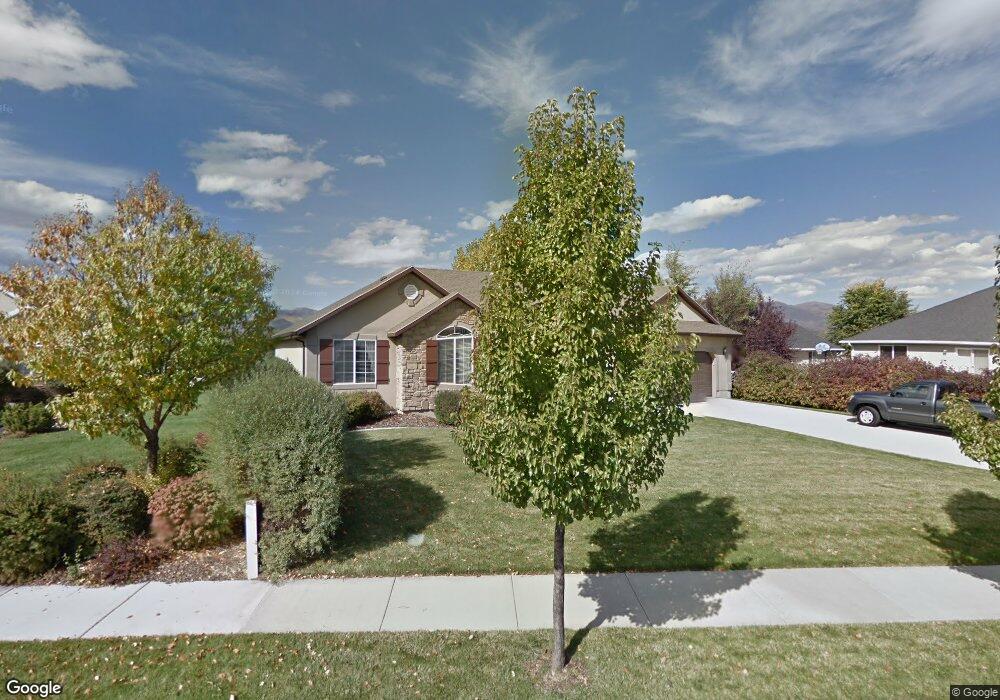
626 S 620 E Heber City, UT 84032
Estimated Value: $768,745 - $847,000
Studio
--
Bath
1,783
Sq Ft
$451/Sq Ft
Est. Value
About This Home
This home is located at 626 S 620 E, Heber City, UT 84032 and is currently estimated at $804,186, approximately $451 per square foot. 626 S 620 E is a home located in Wasatch County with nearby schools including Old Mill School and Wasatch High School.
Ownership History
Date
Name
Owned For
Owner Type
Purchase Details
Closed on
Apr 14, 2020
Sold by
Crook John Phillip
Bought by
Crook John Phillip and Crook Adalet N
Current Estimated Value
Purchase Details
Closed on
Mar 21, 2018
Sold by
Crook Susan and Crook Family Trust
Bought by
Crook John Philip
Purchase Details
Closed on
Feb 26, 2007
Sold by
Mccullough James M and Mccullough Jennie
Bought by
Crook Phyllis J and The Crook Family Trust
Create a Home Valuation Report for This Property
The Home Valuation Report is an in-depth analysis detailing your home's value as well as a comparison with similar homes in the area
Home Values in the Area
Average Home Value in this Area
Purchase History
| Date | Buyer | Sale Price | Title Company |
|---|---|---|---|
| Crook John Phillip | -- | None Available | |
| Crook John Philip | -- | Atlas Title Insurance Heber | |
| Crook Phyllis J | -- | Affiliated First Title Co |
Source: Public Records
Tax History
| Year | Tax Paid | Tax Assessment Tax Assessment Total Assessment is a certain percentage of the fair market value that is determined by local assessors to be the total taxable value of land and additions on the property. | Land | Improvement |
|---|---|---|---|---|
| 2025 | $4,392 | $855,870 | $240,000 | $615,870 |
| 2024 | $4,077 | $801,240 | $240,000 | $561,240 |
| 2023 | $3,943 | $764,820 | $125,000 | $639,820 |
| 2022 | $1,383 | $764,820 | $125,000 | $639,820 |
| 2021 | $2,912 | $415,763 | $125,000 | $290,763 |
| 2020 | $2,955 | $410,763 | $120,000 | $290,763 |
| 2019 | $2,493 | $201,170 | $0 | $0 |
| 2018 | $2,493 | $201,170 | $0 | $0 |
| 2017 | $2,277 | $182,772 | $0 | $0 |
| 2016 | $2,339 | $182,772 | $0 | $0 |
| 2015 | $2,230 | $182,772 | $0 | $0 |
| 2014 | $1,909 | $155,026 | $0 | $0 |
Source: Public Records
Map
Nearby Homes
- 755 E 780 S
- 2518 E 360 S Unit 3
- 410 E 500
- 410 S 500 E
- 590 E Old Mill Dr
- 1031 S 500 E Unit J202
- 1031 S 500 E Unit J202
- 1043 S 500 E Unit G101
- 1128 S 820 E Unit 9204
- 880 S Mill Rd
- 1128 S 820 W Unit 2304
- 1051 S 500 E Unit E203
- 1051 S 500 E Unit E 101
- 1051 S 500 E Unit E-304
- 451 S 200 E
- 189 E 600 S
- 1218 S Sawmill Blvd Unit 104
- 1218 S Sawmill Blvd Unit 1-107
- 1414 E 400 S
- 1266 S Sawmill Blvd Unit 307
Your Personal Tour Guide
Ask me questions while you tour the home.