626 Smith Ave Kenton, OH 43326
Estimated Value: $98,081 - $150,000
About This Home
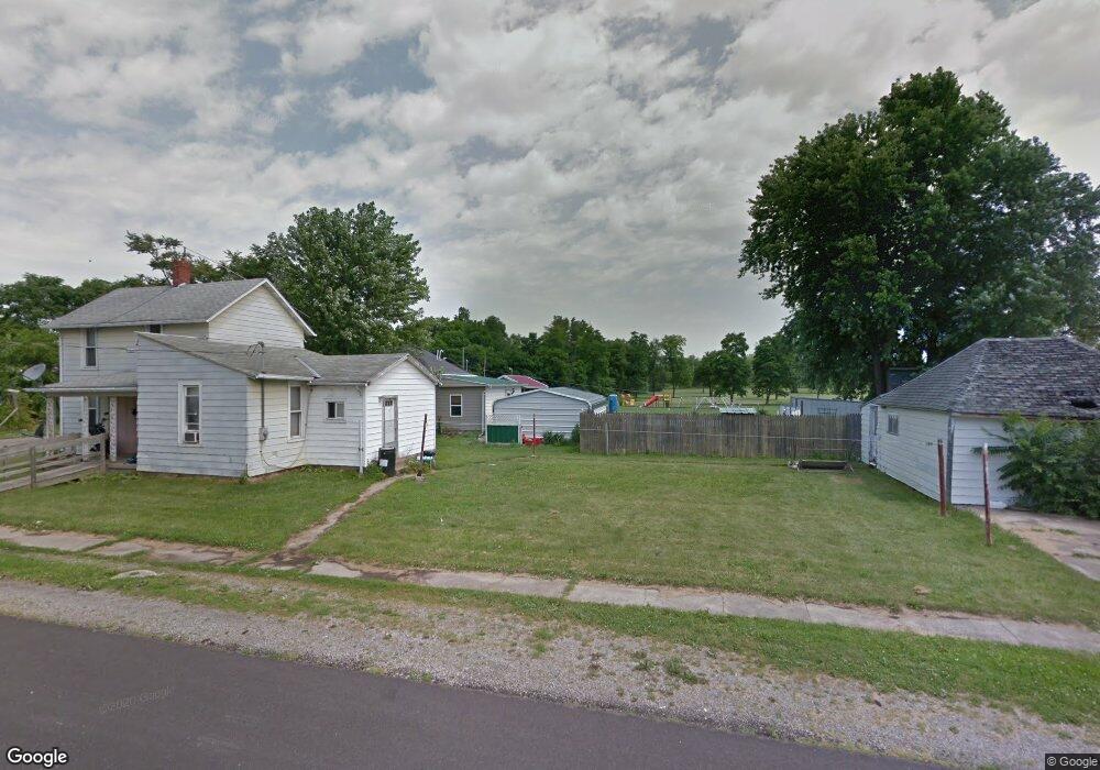
This home is located at 626 Smith Ave, Kenton, OH 43326 and is currently estimated at $121,770, approximately $103 per square foot. 626 Smith Ave is a home located in Hardin County with nearby schools including Kenton Elementary School, Kenton Middle School, and Kenton High School.
Ownership History
We collect this data history from publicly available records. To have your information removed, we recommend requesting removal directly through your county’s website.
Purchase Details
Purchase Details
Home Values in the Area
Average Home Value in this Area
Purchase History
We collect this data history from publicly available records. To have your information removed, we recommend requesting removal directly through your county’s website.
| Date | Buyer | Sale Price | Title Company |
|---|---|---|---|
| -- | None Available | ||
| $9,000 | None Available |
Mortgage History
We collect this data history from publicly available records. To have your information removed, we recommend requesting removal directly through your county’s website.
| Date | Status | Borrower | Loan Amount |
|---|---|---|---|
| Closed | $0 |
Tax History
We collect this data history from publicly available records. To have your information removed, we recommend requesting removal directly through your county’s website.
| Year | Tax Paid | Tax Assessment Tax Assessment Total Assessment is a certain percentage of the fair market value that is determined by local assessors to be the total taxable value of land and additions on the property. | Land | Improvement |
|---|---|---|---|---|
| 2025 | $665 | $15,040 | $2,030 | $13,010 |
| 2024 | $670 | $15,040 | $2,030 | $13,010 |
| 2023 | $626 | $15,040 | $2,030 | $13,010 |
| 2022 | $490 | $10,260 | $1,440 | $8,820 |
| 2021 | $492 | $10,260 | $1,440 | $8,820 |
| 2020 | $530 | $10,260 | $1,440 | $8,820 |
| 2019 | $477 | $8,360 | $1,370 | $6,990 |
| 2018 | $453 | $8,360 | $1,370 | $6,990 |
| 2017 | $640 | $8,360 | $1,370 | $6,990 |
| 2016 | $565 | $10,350 | $1,490 | $8,860 |
| 2015 | $373 | $10,350 | $1,490 | $8,860 |
| 2014 | $969 | $10,350 | $1,490 | $8,860 |
| 2013 | $749 | $11,290 | $1,490 | $9,800 |
Map
- 502 Robinson Ave
- 209 Smith Ave
- 804 W Franklin St
- 400 S Detroit St
- 436 S Wayne St
- 721 S Detroit St
- 226 S Wayne St
- 120 E Ohio St
- 219 N Leighton St
- 609 W North St
- 222 S Cherry St
- 219 W Carrol St
- 213 E Franklin St
- 310 N Market St
- 318 Clinton St
- 121 S High St
- 417 E Ohio St
- 328 N Detroit St
- 232 N Cherry St
- 401 N Detroit St
Ask me questions while you tour the home.