626 Smith Cir Martin, GA 30557
Estimated Value: $642,383 - $1,103,000
3
Beds
3
Baths
2,899
Sq Ft
$276/Sq Ft
Est. Value
About This Home
This home is located at 626 Smith Cir, Martin, GA 30557 and is currently estimated at $800,846, approximately $276 per square foot. 626 Smith Cir is a home with nearby schools including Stephens County High School.
Ownership History
Date
Name
Owned For
Owner Type
Purchase Details
Closed on
Jun 11, 2010
Sold by
Ball Fred H
Bought by
Corbett Todd
Current Estimated Value
Home Financials for this Owner
Home Financials are based on the most recent Mortgage that was taken out on this home.
Original Mortgage
$300,000
Outstanding Balance
$198,917
Interest Rate
4.91%
Mortgage Type
New Conventional
Estimated Equity
$601,929
Purchase Details
Closed on
Apr 25, 2006
Sold by
Sertain Stephanie W
Bought by
Xball Fred H and Ball Fred H
Purchase Details
Closed on
May 1, 1993
Bought by
<Buyer Info Not Present>
Create a Home Valuation Report for This Property
The Home Valuation Report is an in-depth analysis detailing your home's value as well as a comparison with similar homes in the area
Home Values in the Area
Average Home Value in this Area
Purchase History
| Date | Buyer | Sale Price | Title Company |
|---|---|---|---|
| Corbett Todd | $450,000 | -- | |
| Xball Fred H | $175,000 | -- | |
| <Buyer Info Not Present> | $20,500 | -- |
Source: Public Records
Mortgage History
| Date | Status | Borrower | Loan Amount |
|---|---|---|---|
| Open | Corbett Todd | $300,000 |
Source: Public Records
Tax History Compared to Growth
Tax History
| Year | Tax Paid | Tax Assessment Tax Assessment Total Assessment is a certain percentage of the fair market value that is determined by local assessors to be the total taxable value of land and additions on the property. | Land | Improvement |
|---|---|---|---|---|
| 2025 | $6,365 | $231,892 | $41,472 | $190,420 |
| 2024 | $5,103 | $167,570 | $41,472 | $126,098 |
| 2023 | $4,733 | $158,997 | $41,472 | $117,525 |
| 2022 | $4,536 | $152,365 | $41,472 | $110,893 |
| 2021 | $4,515 | $144,389 | $41,472 | $102,917 |
| 2020 | $4,527 | $143,348 | $41,472 | $101,876 |
| 2019 | $4,546 | $143,348 | $41,472 | $101,876 |
| 2018 | $4,546 | $143,348 | $41,472 | $101,876 |
| 2017 | $4,622 | $143,507 | $41,472 | $102,035 |
| 2016 | $4,551 | $143,506 | $41,472 | $102,034 |
| 2015 | $4,768 | $143,572 | $41,472 | $102,100 |
| 2014 | $4,929 | $146,004 | $41,472 | $104,532 |
| 2013 | -- | $138,952 | $41,472 | $97,480 |
Source: Public Records
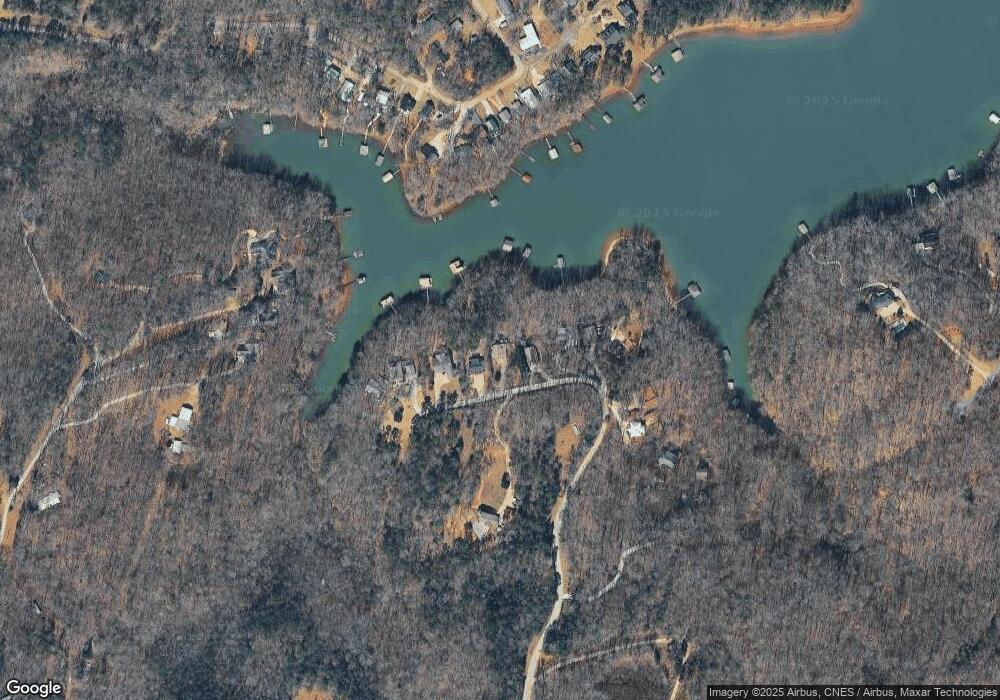
Map
Nearby Homes
- 417 Century Dr
- 243 Continental Dr
- 81 Continental Dr
- 535 Brookwood Rd
- 277 Brookwood Rd
- 198 Brookwood Dr
- 80 Biscayne Dr
- 67 Renault St
- 366 Shore Crest Dr
- 386 Shore Crest Dr
- 275 Shore Crest Dr
- 221 Biscayne Dr
- 132 Brookwood Dr
- 231 Biscayne Dr
- 188 Imperial Dr
- 29 Dart St
- 280 Shore Crest Dr
- 228 Biscayne Dr
- 102 Century Dr
- 22 Century Dr
- 642 Smith Cir
- 604 Smith Cir Unit 78
- 604 Smith Cir
- 219 Smith Cir Unit H
- 566 Smith Cir
- 654 Smith Cir
- 560 Smith Cir
- LOT 49 Country Club Trail
- 686 Smith Cir
- 686 Smith Cir
- 552 Smith Cir
- 556 Smith Cir
- 0 Smith Cir Unit 7268007
- 0 Smith Cir Unit 7558177
- 0 Smith Cir Unit LOT B 10331104
- 80 Country Lake Trail
- 428 Smith Cir
- 15 Bozworth Dr
- 16 Bozworth Dr
- 430 Smith Cir