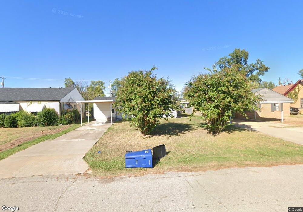
626 W Kirk St Shawnee, OK 74801
Estimated Value: $80,581 - $106,000
--
Bed
--
Bath
1,021
Sq Ft
$90/Sq Ft
Est. Value
About This Home
This home is located at 626 W Kirk St, Shawnee, OK 74801 and is currently estimated at $91,395, approximately $89 per square foot. 626 W Kirk St is a home located in Pottawatomie County with nearby schools including Jefferson Elementary School, Shawnee Middle School, and Shawnee High School.
Ownership History
Date
Name
Owned For
Owner Type
Purchase Details
Closed on
Nov 28, 2022
Sold by
Bierd Properties Llc
Bought by
Salazar Cesar
Current Estimated Value
Purchase Details
Closed on
Jul 21, 2020
Sold by
Jimmie C Steele & Barbara J Steele 2004
Bought by
Bierd Properrties Llc
Home Financials for this Owner
Home Financials are based on the most recent Mortgage that was taken out on this home.
Original Mortgage
$46,000
Interest Rate
3%
Mortgage Type
Credit Line Revolving
Purchase Details
Closed on
Feb 9, 2004
Sold by
Young Anita
Bought by
Steele Jimmie and Steele Barbara
Create a Home Valuation Report for This Property
The Home Valuation Report is an in-depth analysis detailing your home's value as well as a comparison with similar homes in the area
Home Values in the Area
Average Home Value in this Area
Purchase History
| Date | Buyer | Sale Price | Title Company |
|---|---|---|---|
| Salazar Cesar | -- | -- | |
| Bierd Properrties Llc | $46,000 | Multiple | |
| Steele Jimmie | $30,000 | -- |
Source: Public Records
Mortgage History
| Date | Status | Borrower | Loan Amount |
|---|---|---|---|
| Previous Owner | Bierd Properrties Llc | $46,000 |
Source: Public Records
Tax History Compared to Growth
Tax History
| Year | Tax Paid | Tax Assessment Tax Assessment Total Assessment is a certain percentage of the fair market value that is determined by local assessors to be the total taxable value of land and additions on the property. | Land | Improvement |
|---|---|---|---|---|
| 2024 | $577 | $5,520 | $720 | $4,800 |
| 2023 | $577 | $5,520 | $720 | $4,800 |
| 2022 | $566 | $5,520 | $720 | $4,800 |
| 2021 | $556 | $5,520 | $720 | $4,800 |
| 2020 | $537 | $5,318 | $599 | $4,719 |
| 2019 | $529 | $5,065 | $560 | $4,505 |
| 2018 | $494 | $4,824 | $526 | $4,298 |
| 2017 | $464 | $4,594 | $534 | $4,060 |
| 2016 | $447 | $4,376 | $494 | $3,882 |
| 2015 | $417 | $4,167 | $438 | $3,729 |
| 2014 | $397 | $3,969 | $411 | $3,558 |
Source: Public Records
Map
Nearby Homes
- 1012 N Chapman Ave
- 920 N Kickapoo Ave
- 810 N Kickapoo Ave
- 318 W Dill St
- 1006 N Market Ave
- 1324 N Park Ave
- 607 W Dewey St
- 1108 W Dewey St
- 718 N Park Ave
- 735 N Park Ave
- 1217 N Market Ave
- 611 N Chapman Ave
- 824 N Beard Ave
- 634 N Louisa Ave
- 548 N Ione Ave
- 1017 N Bdwy Ave
- 548 N Kickapoo Ave
- 727 N Beard Ave
- 1522 W Wheeler St
- 1710 N Park Ave
- 712 W Kirk St
- 624 W Kirk St
- 628 W Kirk St
- 622 W Kirk St
- 1255 Troon Cir
- 619 Poplar St
- 609 Poplar St
- 618 W Kirk St
- 607 Poplar St
- 1031 N Pottenger Ave
- 612 W Kirk St
- 619 W Poplar St
- 1014 Overland Ct
- 609 W Poplar St
- 623 W Poplar St
- 623 W Poplar St
- 605 Poplar St
- 1019 N Pottenger Ave
- 1019 Overland Ct
- 608 W Kirk St