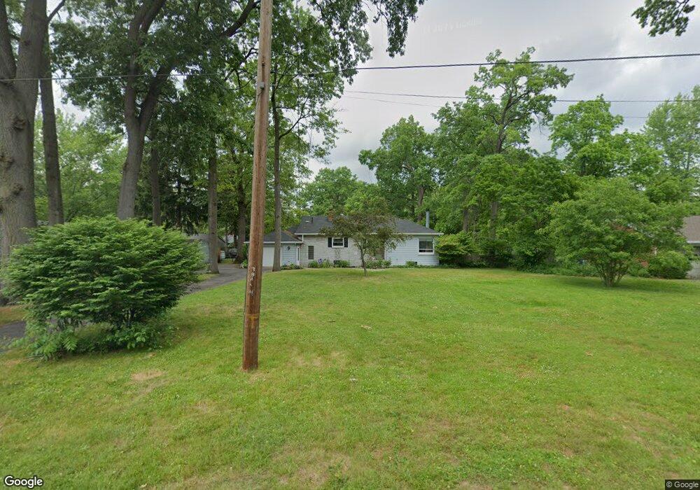
6260 Judge Dr Toledo, OH 43615
Reynolds Corners NeighborhoodEstimated Value: $147,000 - $186,000
2
Beds
1
Bath
1,300
Sq Ft
$125/Sq Ft
Est. Value
About This Home
This home is located at 6260 Judge Dr, Toledo, OH 43615 and is currently estimated at $162,750, approximately $125 per square foot. 6260 Judge Dr is a home located in Lucas County with nearby schools including McTigue Elementary School, Rogers High School, and Horizon Science Academy-Springfield.
Ownership History
Date
Name
Owned For
Owner Type
Purchase Details
Closed on
Nov 8, 2021
Sold by
Lukasik Gary
Bought by
Cornell Kimberly A and Cornell Gary L
Current Estimated Value
Home Financials for this Owner
Home Financials are based on the most recent Mortgage that was taken out on this home.
Original Mortgage
$119,000
Interest Rate
2.23%
Mortgage Type
New Conventional
Purchase Details
Closed on
Aug 25, 2021
Sold by
Sprague Paul D and Sprague Linda K
Bought by
Lukasik Gary M
Purchase Details
Closed on
Dec 2, 1991
Sold by
Anderson Charles W
Purchase Details
Closed on
Aug 26, 1988
Sold by
Bernheisel Norman
Create a Home Valuation Report for This Property
The Home Valuation Report is an in-depth analysis detailing your home's value as well as a comparison with similar homes in the area
Home Values in the Area
Average Home Value in this Area
Purchase History
| Date | Buyer | Sale Price | Title Company |
|---|---|---|---|
| Cornell Kimberly A | $139,000 | None Available | |
| Lukasik Gary M | $80,000 | None Available | |
| -- | $58,500 | -- | |
| -- | $62,900 | -- |
Source: Public Records
Mortgage History
| Date | Status | Borrower | Loan Amount |
|---|---|---|---|
| Previous Owner | Cornell Kimberly A | $119,000 |
Source: Public Records
Tax History Compared to Growth
Tax History
| Year | Tax Paid | Tax Assessment Tax Assessment Total Assessment is a certain percentage of the fair market value that is determined by local assessors to be the total taxable value of land and additions on the property. | Land | Improvement |
|---|---|---|---|---|
| 2024 | $1,401 | $40,880 | $8,960 | $31,920 |
| 2023 | $2,457 | $33,670 | $7,980 | $25,690 |
| 2022 | $2,422 | $33,670 | $7,980 | $25,690 |
| 2021 | $1,975 | $33,670 | $7,980 | $25,690 |
| 2020 | $1,826 | $27,650 | $6,545 | $21,105 |
| 2019 | $1,737 | $27,650 | $6,545 | $21,105 |
| 2018 | $1,755 | $27,650 | $6,545 | $21,105 |
| 2017 | $1,704 | $27,020 | $6,405 | $20,615 |
| 2016 | $1,756 | $77,200 | $18,300 | $58,900 |
| 2015 | $1,812 | $77,200 | $18,300 | $58,900 |
| 2014 | $1,150 | $27,030 | $6,410 | $20,620 |
| 2013 | $1,150 | $27,030 | $6,410 | $20,620 |
Source: Public Records
Map
Nearby Homes
- 1032 Saturn Dr
- 6324 Bapst Ave
- 1715 Brooklynn Park W
- 419 N Holland Sylvania Rd
- 312 Hayes Rd
- 1709 Acorn Dr
- 5873 Nebraska Ave
- 5805 Fryer Ave
- 1911 N Holland Sylvania Rd
- 2004 Oakside Rd
- 1985 Oakhaven Rd
- 2015 Oakside Rd
- 2010 Oakside Rd
- 428 Deline Dr
- 6106 Hill Ave
- 5845 Cook Dr
- 6339 Hill Ave
- 1966 Devinci Dr
- 127 N Dorcas Rd
- 4860 Airport Hwy