Estimated Value: $247,000 - $265,000
3
Beds
2
Baths
1,568
Sq Ft
$163/Sq Ft
Est. Value
About This Home
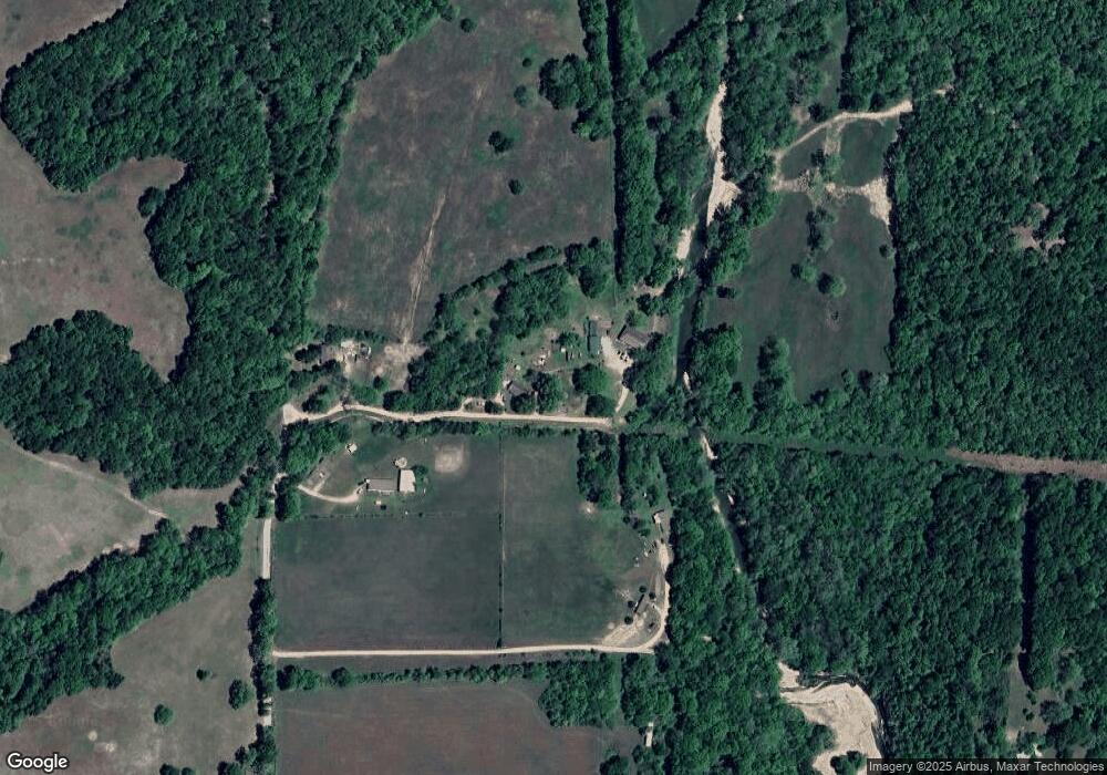
This home is located at 62605 E 337 Rd, Jay, OK 74346 and is currently estimated at $256,000, approximately $163 per square foot. 62605 E 337 Rd is a home with nearby schools including Grove Lower Elementary School, Grove Upper Elementary School, and Grove Middle School.
Ownership History
Date
Name
Owned For
Owner Type
Purchase Details
Closed on
Aug 2, 2024
Sold by
Tauunealie Jimmy Don
Bought by
Tauuneacie Daniel E and Tauuneacia Cynthia
Current Estimated Value
Purchase Details
Closed on
Dec 8, 2009
Sold by
Patterson Kathryn J and Tauuneacie Kathryn J
Bought by
Tauuneacie Jimmy D
Purchase Details
Closed on
Oct 23, 2007
Sold by
Tauuneacie Dan and Tauuneacie Cindy
Bought by
Tauuneacle Jimmy D and Patterson Kathryn J
Home Financials for this Owner
Home Financials are based on the most recent Mortgage that was taken out on this home.
Original Mortgage
$73,333
Interest Rate
6.32%
Mortgage Type
FHA
Purchase Details
Closed on
May 12, 2006
Sold by
Rooney Mark and Doe Jane
Bought by
Federal National Mortgage Association
Create a Home Valuation Report for This Property
The Home Valuation Report is an in-depth analysis detailing your home's value as well as a comparison with similar homes in the area
Purchase History
| Date | Buyer | Sale Price | Title Company |
|---|---|---|---|
| Tauuneacie Daniel E | -- | None Listed On Document | |
| Tauuneacie Jimmy D | -- | -- | |
| Tauuneacle Jimmy D | $85,000 | -- | |
| Federal National Mortgage Association | -- | -- |
Source: Public Records
Mortgage History
| Date | Status | Borrower | Loan Amount |
|---|---|---|---|
| Previous Owner | Tauuneacle Jimmy D | $73,333 |
Source: Public Records
Tax History Compared to Growth
Tax History
| Year | Tax Paid | Tax Assessment Tax Assessment Total Assessment is a certain percentage of the fair market value that is determined by local assessors to be the total taxable value of land and additions on the property. | Land | Improvement |
|---|---|---|---|---|
| 2024 | $662 | $8,791 | $1,158 | $7,633 |
| 2023 | $631 | $8,536 | $1,134 | $7,402 |
| 2022 | $608 | $8,535 | $1,130 | $7,405 |
| 2021 | $33 | $8,286 | $1,128 | $7,158 |
| 2020 | $577 | $8,046 | $1,132 | $6,914 |
| 2019 | $559 | $7,584 | $1,113 | $6,471 |
Source: Public Records
Map
Nearby Homes
- 61830 E 330 Rd
- 32580 S 624 Rd
- 33696 S 640 Rd
- 32180 S 627 Rd
- 0 E 322 Ln
- 62468 E 322 Ln
- 32250 S 620 Rd
- TBD E 350 Road 49 Acres
- 62330 E 320 Rd
- TBD S 640 Road 24 Acres
- TBD S 640 Road 40 Acres
- 31990 S 624 Place Unit 48
- 31990 S 624 Place Unit 34
- 31990 S 624 Place Unit 6
- 31990 S 624 Place Unit B-3
- 31990 S 624 Place Unit 39
- 31990 S 624 Place Unit 73
- 31990 S 624 Place
- 32172 S 618 Ln
- 35748 County Road 628
- 33712 S 625 Rd
- 0 625 Unit 16-2356
- 62901 E 339 Rd
- 33601 S 630 Rd
- 33704 S 630 Rd
- 58251 E 339 Rd
- 0 E 339 Rd Unit 17-2797
- 33750 S 620 Ln
- 62220 E 336 Ln
- 33021 S 625 Rd
- 62200 E 336 Ln
- 33200 S 625 Rd
- 62220 E 340 Rd
- 33642 S 620 Ln
- 33642 S 620 Rd
- 33700 S 620 Ln
- 0 336 Rd Unit 19-1668
- 0000 S 620
- 33650 S 620 Ln
- 34350 S 586 Rd
