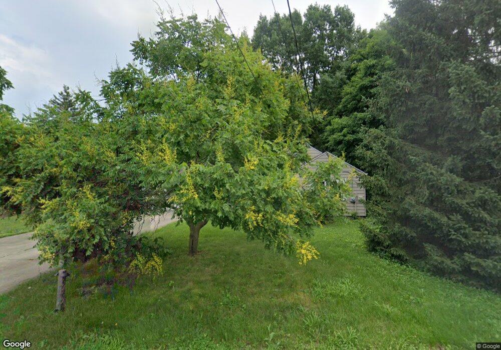
6262 Apache St Dayton, OH 45424
Estimated Value: $120,421 - $158,000
3
Beds
1
Bath
997
Sq Ft
$137/Sq Ft
Est. Value
About This Home
This home is located at 6262 Apache St, Dayton, OH 45424 and is currently estimated at $136,605, approximately $137 per square foot. 6262 Apache St is a home located in Montgomery County with nearby schools including Wayne High School.
Ownership History
Date
Name
Owned For
Owner Type
Purchase Details
Closed on
Nov 9, 2019
Sold by
Cook Donna and Cook Todd G
Bought by
Reynolds Aaron Alan
Current Estimated Value
Home Financials for this Owner
Home Financials are based on the most recent Mortgage that was taken out on this home.
Original Mortgage
$78,570
Outstanding Balance
$69,326
Interest Rate
3.75%
Mortgage Type
New Conventional
Estimated Equity
$67,279
Purchase Details
Closed on
May 6, 2019
Sold by
Wesley Reba L and Pettit Gary Lee
Bought by
Cook Donna
Create a Home Valuation Report for This Property
The Home Valuation Report is an in-depth analysis detailing your home's value as well as a comparison with similar homes in the area
Home Values in the Area
Average Home Value in this Area
Purchase History
| Date | Buyer | Sale Price | Title Company |
|---|---|---|---|
| Reynolds Aaron Alan | $81,000 | Allodial Title Llc | |
| Cook Donna | $27,500 | None Available |
Source: Public Records
Mortgage History
| Date | Status | Borrower | Loan Amount |
|---|---|---|---|
| Open | Reynolds Aaron Alan | $78,570 |
Source: Public Records
Tax History Compared to Growth
Tax History
| Year | Tax Paid | Tax Assessment Tax Assessment Total Assessment is a certain percentage of the fair market value that is determined by local assessors to be the total taxable value of land and additions on the property. | Land | Improvement |
|---|---|---|---|---|
| 2024 | $1,129 | $19,600 | $1,750 | $17,850 |
| 2023 | $1,129 | $19,600 | $1,750 | $17,850 |
| 2022 | $1,414 | $19,600 | $1,750 | $17,850 |
| 2021 | $1,418 | $19,600 | $1,750 | $17,850 |
| 2020 | $1,528 | $19,600 | $1,750 | $17,850 |
| 2019 | $344 | $9,430 | $1,580 | $7,850 |
| 2018 | $263 | $9,430 | $1,580 | $7,850 |
| 2017 | $160 | $9,430 | $1,580 | $7,850 |
| 2016 | $203 | $9,540 | $1,750 | $7,790 |
| 2015 | $169 | $9,540 | $1,750 | $7,790 |
| 2014 | $169 | $9,540 | $1,750 | $7,790 |
| 2012 | -- | $14,910 | $5,250 | $9,660 |
Source: Public Records
Map
Nearby Homes
- 6512 Shore Dr
- 6494 Shore Dr
- Milford Plan at Canal Heights
- Cortland Plan at Canal Heights
- Chatham Plan at Canal Heights
- Fairfax Plan at Canal Heights
- Johnstown Plan at Canal Heights
- Newcastle Plan at Canal Heights
- Holcombe Plan at Canal Heights
- Bellamy Plan at Canal Heights
- 2251 Kiel St
- 4572 Keeneland Ct
- 7075 Gulf Stream Place
- 679 Deerhurst Dr
- 827 Foxfire Trail
- 715 Deerhurst Dr
- 710 Deerhurst Dr
- Fairfax Plan at Foxfire - Maple Street Collection
- Yosemite Plan at Foxfire - Maple Street Collection
- Cumberland Plan at Foxfire - Maple Street Collection
- 4110 Navajo Ave
- 0 Apache St Unit 468762
- 0 Apache St Unit 468758
- 0 Apache St Unit 468755
- 0 Apache St Unit 468745
- 0 Apache St Unit 485831
- 0 Apache St Unit 485832
- 0 Apache St Unit 485829
- 0 Apache St Unit 485830
- 0 Apache St Unit 1023295
- 0 Apache St Unit 880097
- 0 Apache St Unit 505340
- 6325 Champaign Ave
- 4086 Navajo Ave
- 4095 Navajo Ave
- 6219 Apache St
- 6220 Apache St
- 4087 Navajo Ave
- 4156 Navajo Ave
- 6326 Apache St