62626 NW Sparrow Hawk Cir Bend, OR 97701
Summit West NeighborhoodEstimated Value: $1,986,000 - $2,689,000
3
Beds
3
Baths
2,939
Sq Ft
$817/Sq Ft
Est. Value
About This Home
This home is located at 62626 NW Sparrow Hawk Cir, Bend, OR 97701 and is currently estimated at $2,399,789, approximately $816 per square foot. 62626 NW Sparrow Hawk Cir is a home located in Deschutes County with nearby schools including William E. Miller Elementary School, Pacific Crest Middle School, and Summit High School.
Ownership History
Date
Name
Owned For
Owner Type
Purchase Details
Closed on
Jul 2, 2004
Sold by
Shevlin Commons Llc
Bought by
Campbell Keith E and Castillo Susan
Current Estimated Value
Create a Home Valuation Report for This Property
The Home Valuation Report is an in-depth analysis detailing your home's value as well as a comparison with similar homes in the area
Home Values in the Area
Average Home Value in this Area
Purchase History
| Date | Buyer | Sale Price | Title Company |
|---|---|---|---|
| Campbell Keith E | $415,000 | Amerititle |
Source: Public Records
Tax History Compared to Growth
Tax History
| Year | Tax Paid | Tax Assessment Tax Assessment Total Assessment is a certain percentage of the fair market value that is determined by local assessors to be the total taxable value of land and additions on the property. | Land | Improvement |
|---|---|---|---|---|
| 2024 | $15,552 | $924,880 | -- | -- |
| 2023 | $14,422 | $897,950 | $0 | $0 |
| 2022 | $13,457 | $846,410 | $0 | $0 |
| 2021 | $13,480 | $821,760 | $0 | $0 |
| 2020 | $12,792 | $821,760 | $0 | $0 |
| 2019 | $12,437 | $797,830 | $0 | $0 |
| 2018 | $12,088 | $774,600 | $0 | $0 |
| 2017 | $11,735 | $752,040 | $0 | $0 |
| 2016 | $11,194 | $730,140 | $0 | $0 |
| 2015 | $10,886 | $708,880 | $0 | $0 |
| 2014 | $10,567 | $688,240 | $0 | $0 |
Source: Public Records
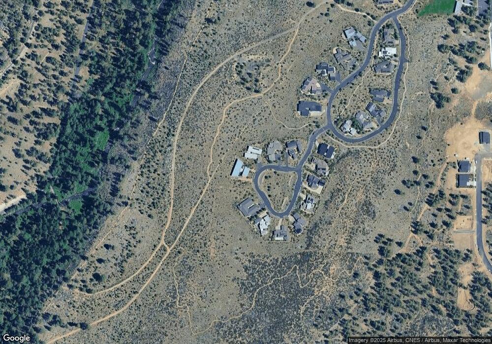
Map
Nearby Homes
- 62475 NW Woodsman Loop
- 62646 Mount Hood Dr Unit 45
- 62734 Mt Hood Dr
- 62651 NW Ember Place Unit Lot 31
- 62659 NW Ember Place Unit Lot 32
- 284159 NW Ember & Jesse Place NW Unit 30
- 62654 NW Woodsman Ct
- 62636 NW Mt Thielsen Dr
- 283214 Archer Ridge Ct
- 19201 NW Mount Shasta Dr
- 19169 NW Mt Shasta Ct
- 3157 NW Shevlin Meadow Dr
- 62737 NW Mehama Dr
- 62720 NW Ridge Rock Ct
- 2403 NW Brickyard St
- 2414 NW Brickyard St
- The Merrifield Plan at Treeline
- 2974 NW Chardonnay Ln
- 0 Lot 10 Skyline Ranch Phase 2 Unit 220209100
- 2227 NW Brickyard St
- 62620 Sparrow Hawk Cir
- 62632 Sparrow Hawk Cir
- 62614 NW Sparrow Hawk Cir
- 62638 NW Sparrow Hawk Cir
- 62644 Sparrow Hawk Cir
- 62608 NW Sparrow Hawk Cir
- 63 Sparrow Hawk Cir
- 66 Sparrow Hawk Cir
- 62584 NW Sparrow Hawk Cir
- 62590 NW Sparrow Hawk Cir
- 62602 Sparrow Hawk Cir
- 62596 NW Sparrow Hawk Cir
- 62596 Sparrow Hawk(lot62) Cir
- 62578 NW Sparrow Hawk Cir
- 62572 NW Sparrow Hawk Cir
- 62572 Sparrow Hawk Cir
- 19961 Park Commons Dr
- 18961 Park Commons Dr
- 18967 Park Commons Dr