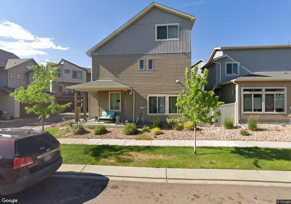
6263 John Muir Trail Colorado Springs, CO 80927
Banning Lewis Ranch NeighborhoodEstimated Value: $462,000 - $511,000
3
Beds
3
Baths
2,332
Sq Ft
$206/Sq Ft
Est. Value
About This Home
This home is located at 6263 John Muir Trail, Colorado Springs, CO 80927 and is currently estimated at $480,978, approximately $206 per square foot. 6263 John Muir Trail is a home located in El Paso County with nearby schools including Inspiration View Elementary School, Skyview Middle School, and Vista Ridge High School.
Ownership History
Date
Name
Owned For
Owner Type
Purchase Details
Closed on
May 3, 2021
Sold by
Tafoya Ashley D and Tafoya James A
Bought by
Vega Rodolfo Andrew
Current Estimated Value
Home Financials for this Owner
Home Financials are based on the most recent Mortgage that was taken out on this home.
Original Mortgage
$425,000
Outstanding Balance
$385,156
Interest Rate
3.1%
Mortgage Type
VA
Estimated Equity
$95,822
Purchase Details
Closed on
Sep 1, 2017
Sold by
Clayton Properties Group Ii Inc
Bought by
Tafoya James Anthony and Tafoya Ashley Danielle
Home Financials for this Owner
Home Financials are based on the most recent Mortgage that was taken out on this home.
Original Mortgage
$325,747
Interest Rate
3.96%
Mortgage Type
VA
Create a Home Valuation Report for This Property
The Home Valuation Report is an in-depth analysis detailing your home's value as well as a comparison with similar homes in the area
Home Values in the Area
Average Home Value in this Area
Purchase History
| Date | Buyer | Sale Price | Title Company |
|---|---|---|---|
| Vega Rodolfo Andrew | $425,000 | Wfg National Title | |
| Tafoya James Anthony | $325,700 | None Available |
Source: Public Records
Mortgage History
| Date | Status | Borrower | Loan Amount |
|---|---|---|---|
| Open | Vega Rodolfo Andrew | $425,000 | |
| Previous Owner | Tafoya James Anthony | $325,747 |
Source: Public Records
Tax History Compared to Growth
Tax History
| Year | Tax Paid | Tax Assessment Tax Assessment Total Assessment is a certain percentage of the fair market value that is determined by local assessors to be the total taxable value of land and additions on the property. | Land | Improvement |
|---|---|---|---|---|
| 2025 | $3,532 | $34,750 | -- | -- |
| 2024 | $3,477 | $35,250 | $5,110 | $30,140 |
| 2023 | $3,477 | $35,250 | $5,110 | $30,140 |
| 2022 | $2,699 | $24,230 | $4,450 | $19,780 |
| 2021 | $2,762 | $24,930 | $4,580 | $20,350 |
| 2020 | $2,922 | $23,240 | $3,050 | $20,190 |
| 2019 | $2,927 | $23,240 | $3,050 | $20,190 |
| 2018 | $2,883 | $22,760 | $2,510 | $20,250 |
| 2017 | $668 | $22,760 | $2,510 | $20,250 |
| 2016 | $38 | $310 | $310 | $0 |
Source: Public Records
Map
Nearby Homes
- 6155 Mineral Belt Dr
- 6712 Golden Briar Ln
- 6742 Golden Briar Ln
- 6669 John Muir Trail
- 6652 Golden Briar Ln
- 6670 John Muir Trail
- 6747 Golden Briar Ln
- 6646 Golden Briar Ln
- 6407 Armdale Heights
- 6689 Shadow Star Dr
- 6765 Windbrook Ct
- 6362 Lythmore Grove
- 6347 Melvick Point
- 6838 Backcountry Loop
- 6263 Armdale Heights
- 8674 Tranquil Knoll Ln
- 6272 Lochside View
- 6260 Melvick Point
- 6234 Lythmore Grove
- 6242 Lythmore Grove
- 6221 John Muir Trail
- 6195 Mineral Belt Dr
- 6171 Mineral Belt Dr
- 6235 John Muir Trail
- 6291 John Muir Trail
- 6203 Mineral Belt Dr
- 6319 John Muir Trail
- 6163 Mineral Belt Dr
- 6305 John Muir Trail
- 6207 John Muir Trail
- 6179 Mineral Belt Dr
- 6193 John Muir Trail
- 6187 Mineral Belt Dr
- 6227 Mineral Belt Dr
- 6139 Mineral Belt Dr
- 6292 John Muir Trail
- 6165 John Muir Trail
- 6179 John Muir Trail
- 6306 John Muir Trail
- 6250 John Muir Trail