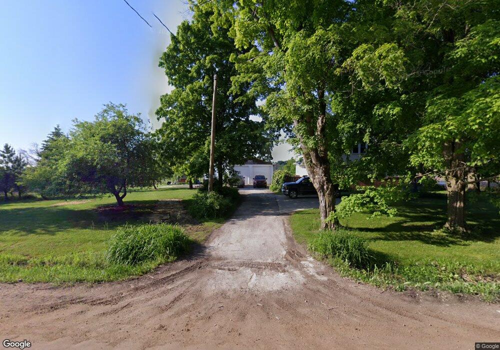
6264 Farrand Rd Millington, MI 48746
Estimated Value: $191,944 - $233,000
3
Beds
1
Bath
1,203
Sq Ft
$177/Sq Ft
Est. Value
About This Home
This home is located at 6264 Farrand Rd, Millington, MI 48746 and is currently estimated at $212,736, approximately $176 per square foot. 6264 Farrand Rd is a home located in Genesee County with nearby schools including George R. Carter Middle School and Clio Area High School.
Ownership History
Date
Name
Owned For
Owner Type
Purchase Details
Closed on
Jun 23, 2003
Sold by
Fraim Eric M
Bought by
Fraim Eric M and Fraim Alice M
Current Estimated Value
Home Financials for this Owner
Home Financials are based on the most recent Mortgage that was taken out on this home.
Original Mortgage
$104,000
Interest Rate
5.51%
Mortgage Type
Stand Alone Refi Refinance Of Original Loan
Purchase Details
Closed on
Sep 22, 1999
Sold by
Riley Marilyn and Lynch Darlene
Bought by
Fraim Eric M
Purchase Details
Closed on
Mar 16, 1999
Sold by
Dynes Darwin W
Bought by
Riley Marilyn and Lynch Darlene
Create a Home Valuation Report for This Property
The Home Valuation Report is an in-depth analysis detailing your home's value as well as a comparison with similar homes in the area
Home Values in the Area
Average Home Value in this Area
Purchase History
| Date | Buyer | Sale Price | Title Company |
|---|---|---|---|
| Fraim Eric M | -- | Guaranty Title Company | |
| Fraim Eric M | $92,600 | Guaranty Title Company | |
| Riley Marilyn | -- | -- |
Source: Public Records
Mortgage History
| Date | Status | Borrower | Loan Amount |
|---|---|---|---|
| Closed | Fraim Eric M | $104,000 |
Source: Public Records
Tax History Compared to Growth
Tax History
| Year | Tax Paid | Tax Assessment Tax Assessment Total Assessment is a certain percentage of the fair market value that is determined by local assessors to be the total taxable value of land and additions on the property. | Land | Improvement |
|---|---|---|---|---|
| 2025 | $1,954 | $85,100 | $0 | $0 |
| 2024 | $659 | $84,700 | $0 | $0 |
| 2023 | $629 | $79,600 | $0 | $0 |
| 2022 | $1,350 | $50,800 | $0 | $0 |
| 2021 | $1,397 | $46,600 | $0 | $0 |
| 2020 | $439 | $43,100 | $0 | $0 |
| 2019 | $432 | $42,900 | $0 | $0 |
| 2018 | $1,219 | $43,400 | $0 | $0 |
| 2017 | $1,170 | $42,500 | $0 | $0 |
| 2016 | $1,162 | $38,600 | $0 | $0 |
| 2015 | $944 | $36,800 | $0 | $0 |
| 2014 | $399 | $35,800 | $0 | $0 |
| 2012 | -- | $34,000 | $34,000 | $0 |
Source: Public Records
Map
Nearby Homes
- 6392 Lake Rd
- 5377 E Vienna Rd
- 14017 Belsay Rd
- 11382 N Belsay Rd
- 12407 Irish Rd
- 0 Taylor Rd
- 12525 Irish Rd
- 12185 Irish Rd
- 14185 Taylor Rd
- 14392 Vassar Rd
- 0 Irish Rd Unit 50194364
- 0 E Wilson Rd Unit 20221009599
- 0 E Wilson Rd Unit 50086153
- 0 Farrand Rd Unit 50166883
- 12441 Irish Rd
- Lot E Lake Rd
- 10415 N Genesee Rd
- 10347 Irish Rd
- 5273 E Dodge Rd
- 11154 Gale Rd
- 6298 Farrand Rd
- 6298 Farrand Rd
- 6384 Farrand Rd
- 6181 Farrand Rd
- 6324 Farrand Rd
- 6371 Farrand Rd
- 6415 Farrand Rd
- 6115 Farrand Rd
- 12312 N Belsay Rd
- 6097 Farrand Rd
- 6077 E Farrand Rd
- 6077 Farrand Rd
- 6049 Farrand Rd
- 12455 Vassar Rd
- 6027 Farrand Rd
- 13068 Belsay Rd
- 13116 Belsay Rd
- 12365 Vassar Rd
- 7017 Farrand Rd
- 13140 Belsay Rd