6264 Laurel Rd Pocono Summit, PA 18346
Estimated Value: $199,174 - $286,000
2
Beds
1
Bath
930
Sq Ft
$250/Sq Ft
Est. Value
About This Home
This home is located at 6264 Laurel Rd, Pocono Summit, PA 18346 and is currently estimated at $232,294, approximately $249 per square foot. 6264 Laurel Rd is a home located in Monroe County with nearby schools including Clear Run Intermediate School, Pocono Mountain West Junior High School, and Pocono Mountain West High School.
Ownership History
Date
Name
Owned For
Owner Type
Purchase Details
Closed on
Dec 10, 2020
Sold by
Billbrey Letha P and Billbrey Jack B
Bought by
Sanabria Louis and Sellitti Alexandra
Current Estimated Value
Home Financials for this Owner
Home Financials are based on the most recent Mortgage that was taken out on this home.
Original Mortgage
$115,740
Interest Rate
2.71%
Mortgage Type
FHA
Purchase Details
Closed on
Jun 25, 2010
Sold by
Roberts Robert J and Roberts Jamie L
Bought by
Bilbrey Jack B and Bilbrey Letha P
Home Financials for this Owner
Home Financials are based on the most recent Mortgage that was taken out on this home.
Original Mortgage
$82,650
Interest Rate
4.88%
Mortgage Type
New Conventional
Create a Home Valuation Report for This Property
The Home Valuation Report is an in-depth analysis detailing your home's value as well as a comparison with similar homes in the area
Home Values in the Area
Average Home Value in this Area
Purchase History
| Date | Buyer | Sale Price | Title Company |
|---|---|---|---|
| Sanabria Louis | $120,000 | Trident Land Transfer Co Lp | |
| Bilbrey Jack B | $87,000 | None Available |
Source: Public Records
Mortgage History
| Date | Status | Borrower | Loan Amount |
|---|---|---|---|
| Previous Owner | Sanabria Louis | $115,740 | |
| Previous Owner | Bilbrey Jack B | $82,650 |
Source: Public Records
Tax History
| Year | Tax Paid | Tax Assessment Tax Assessment Total Assessment is a certain percentage of the fair market value that is determined by local assessors to be the total taxable value of land and additions on the property. | Land | Improvement |
|---|---|---|---|---|
| 2025 | $750 | $75,320 | $31,150 | $44,170 |
| 2024 | $628 | $75,320 | $31,150 | $44,170 |
| 2023 | $2,009 | $75,320 | $31,150 | $44,170 |
| 2022 | $1,973 | $75,320 | $31,150 | $44,170 |
| 2021 | $1,973 | $75,320 | $31,150 | $44,170 |
| 2019 | $2,470 | $14,420 | $3,000 | $11,420 |
| 2018 | $2,470 | $14,420 | $3,000 | $11,420 |
| 2017 | $2,499 | $14,420 | $3,000 | $11,420 |
| 2016 | $534 | $14,420 | $3,000 | $11,420 |
| 2015 | $1,637 | $14,420 | $3,000 | $11,420 |
| 2014 | $1,637 | $14,420 | $3,000 | $11,420 |
Source: Public Records
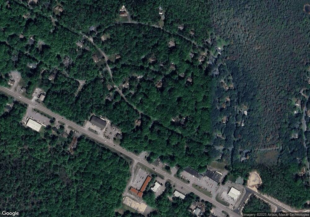
Map
Nearby Homes
- 3124 Fern Rd
- Lot 624 Laurel Rd
- Lot 623 Laurel Rd
- 826 Laurel Rd
- 5120 Pine Tr Ln Unit 808,809
- 0 Pine Tree Rd 824 Rd
- 6319 Laurel Rd
- 6330 Laurel Rd
- 3279 Beech Ridge Dr
- 220 Stillwater Dr
- 250 Stillwater Dr
- Lot 2 Tamarack Terrace
- 1146 Colt Ln
- 1304 Summit View Dr
- 110 Linden Loop
- 1167 Trapper Ln
- 959 Cricket Ln
- 357 Hemlock Dr
- 2137 Freedom Way
- 544 Sullivan Trail
Your Personal Tour Guide
Ask me questions while you tour the home.