6264 Long State Highway P Seymour, MO 65746
Estimated Value: $187,000 - $412,890
--
Bed
--
Bath
1,386
Sq Ft
$218/Sq Ft
Est. Value
About This Home
This home is located at 6264 Long State Highway P, Seymour, MO 65746 and is currently estimated at $301,473, approximately $217 per square foot. 6264 Long State Highway P is a home with nearby schools including Edwin P. Hubble Elementary School, Shook Elementary School, and Daniel Webster Elementary School.
Ownership History
Date
Name
Owned For
Owner Type
Purchase Details
Closed on
Nov 18, 2024
Sold by
Denney Dale L
Bought by
Baker Marcus W and Baker Cari C
Current Estimated Value
Purchase Details
Closed on
Sep 17, 2024
Sold by
Baker Marcus
Bought by
Crawford Terri Dawn
Purchase Details
Closed on
Mar 3, 2015
Sold by
Leonard Bill Carolyn /Tr
Bought by
Baker Marcus Wayne and Crawford Terri Dawn
Purchase Details
Closed on
Feb 7, 2012
Sold by
Baker Marcus Wayne and Baker Cari
Bought by
Baker Marcus Wayne and Baker Cari
Create a Home Valuation Report for This Property
The Home Valuation Report is an in-depth analysis detailing your home's value as well as a comparison with similar homes in the area
Home Values in the Area
Average Home Value in this Area
Purchase History
| Date | Buyer | Sale Price | Title Company |
|---|---|---|---|
| Baker Marcus W | -- | None Listed On Document | |
| Baker Marcus W | -- | None Listed On Document | |
| Crawford Terri Dawn | -- | -- | |
| Baker Marcus Wayne | -- | -- | |
| Baker Marcus Wayne | -- | -- |
Source: Public Records
Tax History Compared to Growth
Tax History
| Year | Tax Paid | Tax Assessment Tax Assessment Total Assessment is a certain percentage of the fair market value that is determined by local assessors to be the total taxable value of land and additions on the property. | Land | Improvement |
|---|---|---|---|---|
| 2024 | $2,771 | $53,390 | $0 | $0 |
| 2023 | $2,686 | $53,390 | $0 | $0 |
| 2022 | $2,688 | $53,390 | $0 | $0 |
| 2021 | $2,631 | $52,290 | $0 | $0 |
| 2020 | $2,302 | $46,930 | $0 | $0 |
| 2019 | $2,302 | $46,930 | $0 | $0 |
| 2018 | $2,303 | $46,930 | $0 | $0 |
| 2017 | $2,049 | $46,930 | $0 | $0 |
| 2016 | $1,863 | $42,290 | $0 | $0 |
| 2015 | $1,862 | $42,290 | $0 | $0 |
| 2012 | -- | $42,290 | $0 | $0 |
Source: Public Records
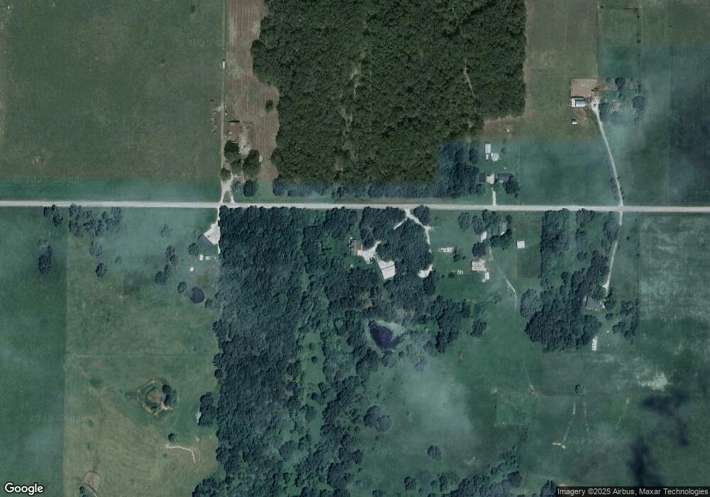
Map
Nearby Homes
- 4796 Long State Highway P
- 207 Royal Dr
- 3722 Long State Highway P
- 6189 State Highway C
- 4216 Skyline Rd
- 1819 Pleasant Hill Rd
- 0 Tbd Pleasant Hill Rd
- 000 State Highway C
- 3759 Skyline Rd
- TBD Pleasant Hill Rd
- 420 Lake Valley Dr
- 28114 State Highway 38
- 369 Mountain Dale Rd
- 0 Winningham Rd
- 1800 State Highway O
- 189 High Ridge Rd
- 0000 State Highway A
- 8240 State Highway A
- 4095 Bell Springs Rd
- 2144 State Highway O
- 6338 Long State Highway P
- 6341 Long State Highway P
- 6446 Long State Highway P
- 6447 Long State Highway P
- 6641 Long State
- 5844 Long State Highway P
- 6641 Long State Highway P
- 7080 Skyline Rd
- 186 Stringtown Rd
- 6945 Skyline Rd
- 6920 Skyline Rd
- 6823 Skyline Rd
- 6688 Skyline Rd
- 416 Stringtown Rd
- 605 Stringtown Rd
- 7067 Long State Highway P
- 6988 Long State Highway P
- 687 Stringtown Rd
- 586 Moonlight Rd
- 624 Stringtown Rd