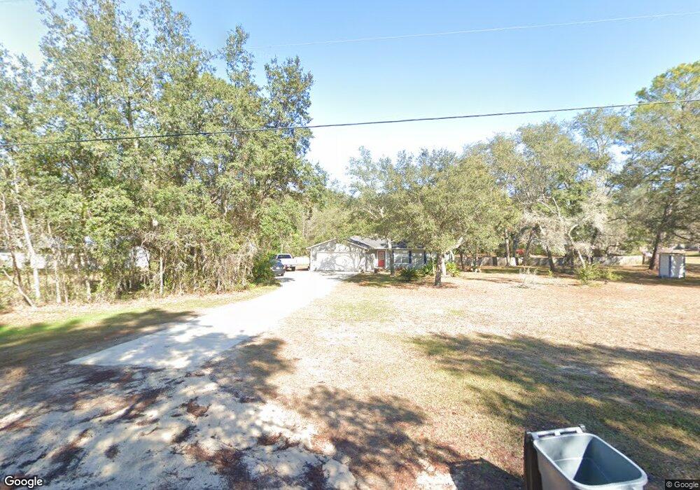
6265 Payne Rd Keystone Heights, FL 32656
Estimated Value: $256,000 - $326,000
3
Beds
2
Baths
1,385
Sq Ft
$216/Sq Ft
Est. Value
About This Home
This home is located at 6265 Payne Rd, Keystone Heights, FL 32656 and is currently estimated at $298,925, approximately $215 per square foot. 6265 Payne Rd is a home located in Clay County with nearby schools including Keystone Heights Elementary School and Keystone Heights Junior/Senior High School.
Ownership History
Date
Name
Owned For
Owner Type
Purchase Details
Closed on
Jun 25, 2004
Sold by
Delaney Angie Marie and Delaney Patrick S
Bought by
Fetzer Christopher G and Fletcher Stacy B
Current Estimated Value
Home Financials for this Owner
Home Financials are based on the most recent Mortgage that was taken out on this home.
Original Mortgage
$114,207
Outstanding Balance
$57,354
Interest Rate
6.3%
Mortgage Type
FHA
Estimated Equity
$241,571
Create a Home Valuation Report for This Property
The Home Valuation Report is an in-depth analysis detailing your home's value as well as a comparison with similar homes in the area
Home Values in the Area
Average Home Value in this Area
Purchase History
| Date | Buyer | Sale Price | Title Company |
|---|---|---|---|
| Fetzer Christopher G | $116,000 | Keystone Title Of Keystone H |
Source: Public Records
Mortgage History
| Date | Status | Borrower | Loan Amount |
|---|---|---|---|
| Open | Fetzer Christopher G | $114,207 |
Source: Public Records
Tax History Compared to Growth
Tax History
| Year | Tax Paid | Tax Assessment Tax Assessment Total Assessment is a certain percentage of the fair market value that is determined by local assessors to be the total taxable value of land and additions on the property. | Land | Improvement |
|---|---|---|---|---|
| 2024 | $1,247 | $103,219 | -- | -- |
| 2023 | $1,247 | $100,213 | $0 | $0 |
| 2022 | $1,090 | $97,295 | $0 | $0 |
| 2021 | $1,086 | $94,462 | $0 | $0 |
| 2020 | $1,055 | $93,158 | $0 | $0 |
| 2019 | $1,035 | $91,064 | $0 | $0 |
| 2018 | $938 | $89,366 | $0 | $0 |
| 2017 | $928 | $87,528 | $0 | $0 |
| 2016 | $922 | $85,728 | $0 | $0 |
| 2015 | $955 | $85,132 | $0 | $0 |
| 2014 | $929 | $84,456 | $0 | $0 |
Source: Public Records
Map
Nearby Homes
- 6615 Camelot Ct
- 6335 Payne Rd
- 7120 Gas Line Rd
- 6470 Brooklyn Bay Rd
- 7011 State Rd 21
- 7013 Elfo Rd
- 6266 Little Lake Geneva Rd
- 7195 Gas Line Rd
- 7086 Sewanee St
- 7058 Sewanee St
- 6981 Deer Springs Rd
- 6213 Oglethorpe Ave
- 6330 Alliance Ave
- 6294 Alliance Ave
- 00 Northwestern Ave
- 6218 Northwestern Ave
- 7060 Stetson St
- 7142 Knox St
- 6956 Deer Springs Rd
- 6358 Reed Dr
- 6259 Payne Rd
- 6271 Payne Rd
- 6444 Loch Lommond Dr
- 6255 Payne Rd
- 6434 Loch Lommond Dr
- 6275 Payne Rd
- 6284 Payne Rd
- 6254 Payne Rd
- 6426 Loch Lommond Dr
- 6598 Camelot Ct
- 6277 Payne Rd
- 6597 Camelot Ct
- 0 Loch Lommond Dr Unit 1043973
- 0 Loch Lommond Dr Unit 1043788
- 0 Loch Lommond Dr Unit 1213194
- 6389 Loch Lommond Dr
- 0 Loch Lommond Dr
- 6240 Payne Rd
- 6450 Loch Lommond Dr
- 6441 Loch Lommond Dr