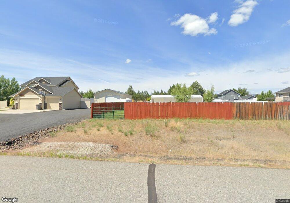
6265 Pearson Dr Nine Mile Falls, WA 99026
Estimated Value: $620,000 - $742,000
4
Beds
3
Baths
3,977
Sq Ft
$173/Sq Ft
Est. Value
About This Home
This home is located at 6265 Pearson Dr, Nine Mile Falls, WA 99026 and is currently estimated at $686,126, approximately $172 per square foot. 6265 Pearson Dr is a home located in Stevens County with nearby schools including Lakeside High School.
Ownership History
Date
Name
Owned For
Owner Type
Purchase Details
Closed on
Nov 18, 2009
Sold by
Lanzce G Douglass Inc
Bought by
Huenergardt Jessie A and Huenergardt Sara A
Current Estimated Value
Home Financials for this Owner
Home Financials are based on the most recent Mortgage that was taken out on this home.
Original Mortgage
$215,200
Outstanding Balance
$139,291
Interest Rate
4.83%
Mortgage Type
New Conventional
Estimated Equity
$546,835
Purchase Details
Closed on
Jun 11, 2007
Sold by
Tfh Corporation Inc
Bought by
Lanzce G Douglas Inc
Create a Home Valuation Report for This Property
The Home Valuation Report is an in-depth analysis detailing your home's value as well as a comparison with similar homes in the area
Home Values in the Area
Average Home Value in this Area
Purchase History
| Date | Buyer | Sale Price | Title Company |
|---|---|---|---|
| Huenergardt Jessie A | -- | None Available | |
| Lanzce G Douglas Inc | $101,326 | Stevens County Title Co |
Source: Public Records
Mortgage History
| Date | Status | Borrower | Loan Amount |
|---|---|---|---|
| Open | Huenergardt Jessie A | $215,200 |
Source: Public Records
Tax History Compared to Growth
Tax History
| Year | Tax Paid | Tax Assessment Tax Assessment Total Assessment is a certain percentage of the fair market value that is determined by local assessors to be the total taxable value of land and additions on the property. | Land | Improvement |
|---|---|---|---|---|
| 2024 | $6,363 | $693,067 | $67,000 | $626,067 |
| 2023 | $6,107 | $689,582 | $67,000 | $622,582 |
| 2022 | $5,383 | $569,322 | $67,000 | $502,322 |
| 2021 | $3,786 | $389,478 | $37,000 | $352,478 |
| 2020 | $4,006 | $389,478 | $37,000 | $352,478 |
| 2019 | $3,602 | $342,207 | $37,000 | $305,207 |
| 2018 | $3,914 | $298,549 | $45,000 | $253,549 |
| 2017 | $3,608 | $302,098 | $45,000 | $257,098 |
| 2016 | $3,222 | $302,098 | $45,000 | $257,098 |
| 2015 | -- | $257,765 | $50,000 | $207,765 |
| 2013 | -- | $257,765 | $50,000 | $207,765 |
Source: Public Records
Map
Nearby Homes
- 6195 Khloe Ct
- 6263 Brennan Ct
- 6340 Jenna Ct
- 5885 Sandy Court Way
- 60849 Westview Dr
- 60829 Westview Dr
- XX Syringa
- 13228 W Sunnyvale Dr
- 16825 N Wylie Dr
- 6282 W Bluebird Way
- 56xx W (Lot 4W) Jergens Rd Unit For GPS use 5629 Jer
- 6265 W Bluebird Way
- 6299 Sundown Rd
- 5674B Jergens Rd
- 12719 W Greenfield Rd
- xxxx N Lake Terrace Ln
- 16610 N Suncrest Dr
- 146 Legacy Way
- 148 Legacy Way
- 6478 Sheneen Ct