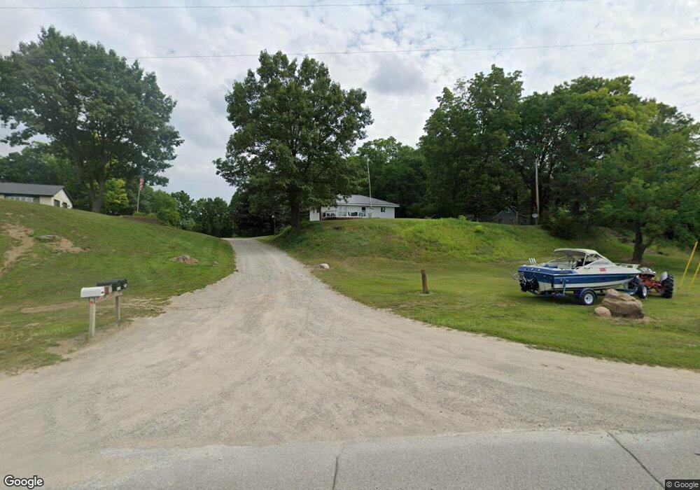
6267 Us Highway 223 Addison, MI 49220
Estimated Value: $195,228 - $217,000
2
Beds
1
Bath
1,120
Sq Ft
$184/Sq Ft
Est. Value
About This Home
This home is located at 6267 Us Highway 223, Addison, MI 49220 and is currently estimated at $206,076, approximately $183 per square foot. 6267 Us Highway 223 is a home located in Lenawee County with nearby schools including Addison Elementary School, Addison Middle School, and Addison High School.
Ownership History
Date
Name
Owned For
Owner Type
Purchase Details
Closed on
May 8, 2020
Sold by
Leggett Ft
Bought by
Calkins Karen
Current Estimated Value
Home Financials for this Owner
Home Financials are based on the most recent Mortgage that was taken out on this home.
Original Mortgage
$146,464
Outstanding Balance
$129,787
Interest Rate
3.3%
Mortgage Type
New Conventional
Estimated Equity
$76,289
Purchase Details
Closed on
Feb 28, 2013
Sold by
Schultz Marlin and Schultz Delores
Bought by
Leggett Karen and Beaubien Sandra
Purchase Details
Closed on
Nov 18, 1991
Bought by
Leggett Karen
Create a Home Valuation Report for This Property
The Home Valuation Report is an in-depth analysis detailing your home's value as well as a comparison with similar homes in the area
Home Values in the Area
Average Home Value in this Area
Purchase History
| Date | Buyer | Sale Price | Title Company |
|---|---|---|---|
| Calkins Karen | $140,000 | Star Title Agency Llc | |
| Leggett Karen | -- | None Available | |
| Leggett Karen | -- | -- |
Source: Public Records
Mortgage History
| Date | Status | Borrower | Loan Amount |
|---|---|---|---|
| Open | Calkins Karen | $146,464 |
Source: Public Records
Tax History Compared to Growth
Tax History
| Year | Tax Paid | Tax Assessment Tax Assessment Total Assessment is a certain percentage of the fair market value that is determined by local assessors to be the total taxable value of land and additions on the property. | Land | Improvement |
|---|---|---|---|---|
| 2025 | $2,415 | $74,900 | $0 | $0 |
| 2024 | $701 | $70,500 | $0 | $0 |
| 2023 | -- | $62,200 | $0 | $0 |
| 2022 | $1,940 | $55,800 | $0 | $0 |
| 2021 | $1,811 | $55,300 | $0 | $0 |
| 2020 | $1,152 | $44,600 | $0 | $0 |
| 2019 | $152,052 | $44,600 | $0 | $0 |
| 2018 | $2,280 | $55,269 | $0 | $0 |
| 2017 | $2,206 | $55,696 | $0 | $0 |
| 2016 | $2,179 | $54,795 | $0 | $0 |
| 2014 | -- | $51,640 | $0 | $0 |
Source: Public Records
Map
Nearby Homes
- 6360 Winter Rd
- 6103 Highland Ave
- 6797 Devils Lake Hwy
- 5935 Tower Dr
- 5879 Tower Ave
- 6820 Devils Lake Hwy
- 8000 Parkhurst Hwy Unit Carroll Dr ((1175)
- 5098 Belmere Dr
- V/L Round Lake Hwy
- 6000 Devils Lake Hwy
- 10911 Devils Lake Hwy
- 15858 Lelah Ln
- 7841 Devils Lake Hwy
- Unit 3 Hollyhock Dr
- Unit 2 Hollyhock Dr
- 9304 Parkhurst Hwy
- 4547 Round Lake Hwy
- 16424 N Rollin Hwy
- 15816 Sanford Rd
- 8788 Parker Hwy
- 6267 U S 223
- 6261 Us Highway 223
- 6261 Us Highway 223
- 6261 Us Highway 223
- 6261 Us Highway 223
- 6261 U S 223
- 0 Winter Rd Unit 4007066
- 0 Winter Rd Unit 91369
- 6303 Us Highway 223
- 6330 Winter Rd
- 6241 U S 223
- 6340 Winter Rd
- 6331 Us Highway 223
- 6331 U S 223
- 6337 Us Highway 223
- 6409 Us Highway 223
- 6409 Us Highway 223
- 6320 Winter Rd
- 6232 Us Highway 223
- 6234 Us Highway 223