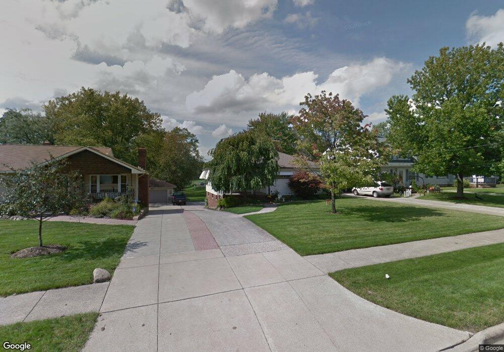
6268 Dunham Rd Maple Heights, OH 44137
Estimated Value: $146,000 - $182,000
3
Beds
1
Bath
1,310
Sq Ft
$125/Sq Ft
Est. Value
About This Home
This home is located at 6268 Dunham Rd, Maple Heights, OH 44137 and is currently estimated at $163,949, approximately $125 per square foot. 6268 Dunham Rd is a home located in Cuyahoga County with nearby schools including Abraham Lincoln Elementary School, Rockside/ J.F. Kennedy School, and Barack Obama School.
Ownership History
Date
Name
Owned For
Owner Type
Purchase Details
Closed on
Jul 3, 1997
Sold by
Olsen Thomas
Bought by
Grisin Dolores M and Grisin George
Current Estimated Value
Home Financials for this Owner
Home Financials are based on the most recent Mortgage that was taken out on this home.
Original Mortgage
$76,000
Outstanding Balance
$11,386
Interest Rate
8.01%
Mortgage Type
New Conventional
Estimated Equity
$152,563
Purchase Details
Closed on
Mar 30, 1985
Sold by
Olsen Marian
Bought by
Olsen Thomas
Purchase Details
Closed on
Jan 1, 1975
Bought by
Olsen Marian
Create a Home Valuation Report for This Property
The Home Valuation Report is an in-depth analysis detailing your home's value as well as a comparison with similar homes in the area
Home Values in the Area
Average Home Value in this Area
Purchase History
| Date | Buyer | Sale Price | Title Company |
|---|---|---|---|
| Grisin Dolores M | $104,000 | -- | |
| Olsen Thomas | -- | -- | |
| Olsen Marian | -- | -- |
Source: Public Records
Mortgage History
| Date | Status | Borrower | Loan Amount |
|---|---|---|---|
| Open | Grisin Dolores M | $76,000 |
Source: Public Records
Tax History
| Year | Tax Paid | Tax Assessment Tax Assessment Total Assessment is a certain percentage of the fair market value that is determined by local assessors to be the total taxable value of land and additions on the property. | Land | Improvement |
|---|---|---|---|---|
| 2024 | $3,109 | $44,870 | $9,380 | $35,490 |
| 2023 | $2,354 | $31,890 | $7,700 | $24,190 |
| 2022 | $2,383 | $31,885 | $7,700 | $24,185 |
| 2021 | $2,545 | $31,890 | $7,700 | $24,190 |
| 2020 | $2,145 | $26,110 | $6,300 | $19,810 |
| 2019 | $2,130 | $74,600 | $18,000 | $56,600 |
| 2018 | $1,059 | $26,110 | $6,300 | $19,810 |
| 2017 | $2,099 | $25,550 | $5,530 | $20,020 |
| 2016 | $2,024 | $25,550 | $5,530 | $20,020 |
| 2015 | $1,964 | $25,550 | $5,530 | $20,020 |
| 2014 | $1,964 | $26,360 | $5,710 | $20,650 |
Source: Public Records
Map
Nearby Homes
- 15609 Mendota Ave
- 15712 Mendota Ave
- 14750 Schreiber Rd
- 15700 Woodbrook Ave
- 15405 Turney Rd
- 15522 Turney Rd
- 6089 Dunham Rd
- 14956 Carol Dr
- 14357 Turney Rd
- 16112 Woodbrook Ave
- 15305 Steinway Blvd
- SL15 Rocky Top Ct
- 15701 Walvern Blvd
- 15 Rockytop Ct
- 6378 Valley Ranch Dr
- 6372 Valley Ranch Dr
- 15800 Steinway Blvd
- 15712 Morning Star Ave
- 14775 Lisa Dr
- 6425 Farmington Dr
- 6262 Dunham Rd
- 6272 Dunham Rd
- 6258 Dunham Rd
- 6280 Dunham Rd
- 6254 Dunham Rd
- 6286 Dunham Rd
- 6250 Dunham Rd
- 15201 Woodbrook Ave
- 6290 Dunham Rd
- 6271 Dunham Rd
- 6244 Dunham Rd
- 6265 Dunham Rd
- 15205 Woodbrook Ave
- 6298 Dunham Rd
- 6240 Dunham Rd
- 15209 Woodbrook Ave
- 6261 Dunham Rd
- 6300 Dunham Rd
- 6236 Dunham Rd
- 15213 Woodbrook Ave