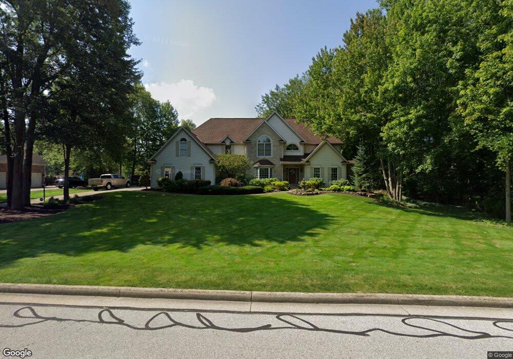
6268 Paderborne Dr Hudson, OH 44236
Estimated Value: $777,000 - $1,114,000
3
Beds
4
Baths
4,123
Sq Ft
$236/Sq Ft
Est. Value
About This Home
This home is located at 6268 Paderborne Dr, Hudson, OH 44236 and is currently estimated at $971,759, approximately $235 per square foot. 6268 Paderborne Dr is a home located in Summit County with nearby schools including Ellsworth Hill Elementary School, East Woods Intermediate School, and Hudson Middle School.
Ownership History
Date
Name
Owned For
Owner Type
Purchase Details
Closed on
Aug 22, 2025
Sold by
Klaus Michael R and Klaus Denise Ann
Bought by
Denise A Klaus Trust and Klaus
Current Estimated Value
Purchase Details
Closed on
Jul 15, 1999
Sold by
Vanvanmapp Ronald Van and Jean Nancy
Bought by
Klaus Michael R and Klaus Denise Ann
Home Financials for this Owner
Home Financials are based on the most recent Mortgage that was taken out on this home.
Original Mortgage
$235,000
Interest Rate
7.43%
Purchase Details
Closed on
Mar 31, 1998
Sold by
Wojtala Larry
Bought by
Vanmapp Ronald and Van Mapp Nancy J
Home Financials for this Owner
Home Financials are based on the most recent Mortgage that was taken out on this home.
Original Mortgage
$295,000
Interest Rate
7.15%
Mortgage Type
New Conventional
Create a Home Valuation Report for This Property
The Home Valuation Report is an in-depth analysis detailing your home's value as well as a comparison with similar homes in the area
Home Values in the Area
Average Home Value in this Area
Purchase History
| Date | Buyer | Sale Price | Title Company |
|---|---|---|---|
| Denise A Klaus Trust | -- | None Listed On Document | |
| Klaus Michael R | $459,900 | Chicago Title Insurance Comp | |
| Vanmapp Ronald | $445,000 | -- |
Source: Public Records
Mortgage History
| Date | Status | Borrower | Loan Amount |
|---|---|---|---|
| Previous Owner | Klaus Michael R | $235,000 | |
| Previous Owner | Vanmapp Ronald | $295,000 |
Source: Public Records
Tax History Compared to Growth
Tax History
| Year | Tax Paid | Tax Assessment Tax Assessment Total Assessment is a certain percentage of the fair market value that is determined by local assessors to be the total taxable value of land and additions on the property. | Land | Improvement |
|---|---|---|---|---|
| 2025 | $14,084 | $270,939 | $49,053 | $221,886 |
| 2024 | $14,084 | $270,939 | $49,053 | $221,886 |
| 2023 | $14,084 | $270,939 | $49,053 | $221,886 |
| 2022 | $12,077 | $206,826 | $37,447 | $169,379 |
| 2021 | $12,097 | $206,826 | $37,447 | $169,379 |
| 2020 | $11,888 | $206,830 | $37,450 | $169,380 |
| 2019 | $11,111 | $178,870 | $43,440 | $135,430 |
| 2018 | $11,076 | $178,870 | $43,440 | $135,430 |
| 2017 | $10,270 | $178,870 | $43,440 | $135,430 |
| 2016 | $10,342 | $160,810 | $43,440 | $117,370 |
| 2015 | $10,270 | $160,810 | $43,440 | $117,370 |
| 2014 | $10,300 | $160,810 | $43,440 | $117,370 |
| 2013 | $10,719 | $163,510 | $43,440 | $120,070 |
Source: Public Records
Map
Nearby Homes
- 139 Mccracken Rd
- 6629 Meadow Farm Dr
- 6607 Dunbarton Dr
- 174 Sapphire Ln
- 6751 Pheasants Ridge
- 389 Opal Ct
- 6869 Saint Regis Blvd
- 35 S Hayden Pkwy
- 9005 Sandpiper Dr
- 9085 Sandpiper Dr
- 8929 Falcon Dr
- 5937 Ogilby Dr
- 2380 Victoria Pkwy
- 644 Teal Ct
- 94 Fox Trace Ln
- 148 Colony Dr
- 5974 Anna Lee Dr
- 5791 Sunset Dr
- 1705 Barlow Rd
- 7205 Dillman Dr
- 6254 Paderborne Dr
- 6286 Paderborne Dr
- 6295 Wessington Dr
- 6249 Wessington Dr
- 6273 Paderborne Dr
- 6236 Paderborne Dr
- 6291 Paderborne Dr
- 6227 Wessington Dr
- 2549 Pickerington Way
- 6218 Paderborne Dr
- 6189 Wessington Dr
- 6318 Wessington Dr
- 6230 Wessington Dr
- 6282 Wessington Dr
- 2550 Pickerington Way
- 6330 Wessington Dr
- 6254 Wessington Dr
- 6208 Wessington Dr
- 6231 Paderborne Dr
- 2519 Brassington Way