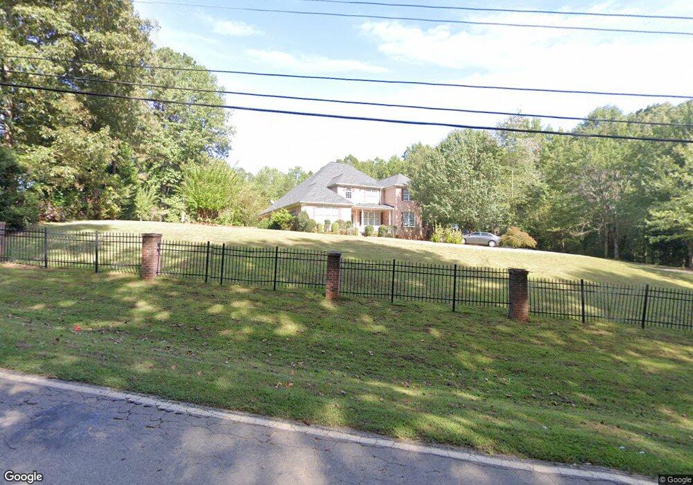
6269 New Bethany Rd Buford, GA 30518
Estimated Value: $905,898 - $1,176,000
5
Beds
4
Baths
5,503
Sq Ft
$191/Sq Ft
Est. Value
About This Home
This home is located at 6269 New Bethany Rd, Buford, GA 30518 and is currently estimated at $1,052,299, approximately $191 per square foot. 6269 New Bethany Rd is a home located in Hall County with nearby schools including Friendship Elementary School, C.W. Davis Middle School, and Flowery Branch High School.
Ownership History
Date
Name
Owned For
Owner Type
Purchase Details
Closed on
Mar 18, 2005
Sold by
Akpabio Grace H
Bought by
Okeke Chika M and Okeke Okey
Current Estimated Value
Home Financials for this Owner
Home Financials are based on the most recent Mortgage that was taken out on this home.
Original Mortgage
$471,000
Outstanding Balance
$240,996
Interest Rate
5.75%
Mortgage Type
New Conventional
Estimated Equity
$811,303
Purchase Details
Closed on
Dec 17, 2004
Sold by
Lampe Marilynn
Bought by
Akpabio Grace H
Create a Home Valuation Report for This Property
The Home Valuation Report is an in-depth analysis detailing your home's value as well as a comparison with similar homes in the area
Home Values in the Area
Average Home Value in this Area
Purchase History
| Date | Buyer | Sale Price | Title Company |
|---|---|---|---|
| Okeke Chika M | $115,000 | -- | |
| Akpabio Grace H | $115,000 | -- |
Source: Public Records
Mortgage History
| Date | Status | Borrower | Loan Amount |
|---|---|---|---|
| Open | Okeke Chika M | $471,000 |
Source: Public Records
Tax History Compared to Growth
Tax History
| Year | Tax Paid | Tax Assessment Tax Assessment Total Assessment is a certain percentage of the fair market value that is determined by local assessors to be the total taxable value of land and additions on the property. | Land | Improvement |
|---|---|---|---|---|
| 2024 | $9,175 | $370,800 | $36,360 | $334,440 |
| 2023 | $8,377 | $354,280 | $36,360 | $317,920 |
| 2022 | $7,291 | $282,480 | $25,440 | $257,040 |
| 2021 | $7,534 | $286,520 | $38,200 | $248,320 |
| 2020 | $6,876 | $253,960 | $27,760 | $226,200 |
| 2019 | $6,748 | $247,000 | $27,760 | $219,240 |
| 2018 | $6,569 | $232,680 | $22,320 | $210,360 |
| 2017 | $6,237 | $223,240 | $22,320 | $200,920 |
| 2016 | $6,085 | $223,240 | $22,320 | $200,920 |
| 2015 | $6,278 | $223,240 | $22,320 | $200,920 |
| 2014 | $6,278 | $228,460 | $28,280 | $200,180 |
Source: Public Records
Map
Nearby Homes
- 5862 Bay View Dr
- 6119 Bethany View Trail
- 6205 Bridgewood Dr
- 5885 Bay View Dr
- 6225 Bridgewood Dr
- 5832 Bay View Dr
- 5989 Lanier Islands Pkwy
- 3617 Shoreland Dr
- 5574 Lanier Islands Pkwy
- 5775 Lakeshore Dr
- 3180 Lee Dr
- 6558 Lanier Islands Pkwy
- 6132 Hutchins Dr
- 6120 Hutchins Dr
- 5839 Lakeshore Dr
- 6181 Shoreland Cir
- 3441 Shoreland Dr
- 5930 Mount Water Trail
- 5926 Mount Water Trail
- 5934 Mount Water Trail
- 6385 New Bethany Rd
- 6249 New Bethany Rd
- 6204 Cascade Falls Dr
- 5922 Mount Water Trail Unit V
- 6401 New Bethany Rd
- 6233 New Bethany Rd
- 5929 Mount Water Trail
- 6210 Cascade Falls Dr
- 5918 Mount Water Trail
- 6305 Old Wood Hollow Way
- 5925 Mount Water Trail
- 0 Mount Water Trail Unit 3125618
- 6216 Cascade Falls Dr Unit 31
- 6216 Cascade Falls Dr
- 5921 Mount Water Trail
- 6138 Lanier Harbor Landing
- 6308 Lanier Harbor Landing