627 Buckhead Cir Shreveport, LA 71115
Ellerbe Woods NeighborhoodEstimated Value: $349,102 - $417,000
3
Beds
2
Baths
2,063
Sq Ft
$189/Sq Ft
Est. Value
About This Home
This home is located at 627 Buckhead Cir, Shreveport, LA 71115 and is currently estimated at $389,526, approximately $188 per square foot. 627 Buckhead Cir is a home located in Caddo Parish with nearby schools including Fairfield Magnet School, South Highlands Elementary, and Judson Fundamental Elementary School.
Ownership History
Date
Name
Owned For
Owner Type
Purchase Details
Closed on
Aug 26, 2019
Sold by
Cantwell Allan Robert and Cantwell Sarah Libby Palmer
Bought by
Moseley Lori Birdwell and Moseley Matthew Randall
Current Estimated Value
Home Financials for this Owner
Home Financials are based on the most recent Mortgage that was taken out on this home.
Original Mortgage
$239,200
Outstanding Balance
$209,949
Interest Rate
3.7%
Mortgage Type
New Conventional
Estimated Equity
$179,577
Create a Home Valuation Report for This Property
The Home Valuation Report is an in-depth analysis detailing your home's value as well as a comparison with similar homes in the area
Home Values in the Area
Average Home Value in this Area
Purchase History
| Date | Buyer | Sale Price | Title Company |
|---|---|---|---|
| Moseley Lori Birdwell | $299,000 | Security Title |
Source: Public Records
Mortgage History
| Date | Status | Borrower | Loan Amount |
|---|---|---|---|
| Open | Moseley Lori Birdwell | $239,200 |
Source: Public Records
Tax History Compared to Growth
Tax History
| Year | Tax Paid | Tax Assessment Tax Assessment Total Assessment is a certain percentage of the fair market value that is determined by local assessors to be the total taxable value of land and additions on the property. | Land | Improvement |
|---|---|---|---|---|
| 2024 | $4,711 | $30,221 | $4,297 | $25,924 |
| 2023 | $4,534 | $28,447 | $4,092 | $24,355 |
| 2022 | $4,534 | $28,447 | $4,092 | $24,355 |
| 2021 | $4,465 | $28,447 | $4,092 | $24,355 |
| 2020 | $4,465 | $28,447 | $4,092 | $24,355 |
| 2019 | $4,349 | $26,890 | $4,092 | $22,798 |
| 2018 | $2,497 | $26,890 | $4,092 | $22,798 |
| 2017 | $4,417 | $26,890 | $4,092 | $22,798 |
| 2015 | $2,261 | $24,950 | $4,090 | $20,860 |
| 2014 | $2,279 | $24,950 | $4,090 | $20,860 |
| 2013 | -- | $24,950 | $4,090 | $20,860 |
Source: Public Records
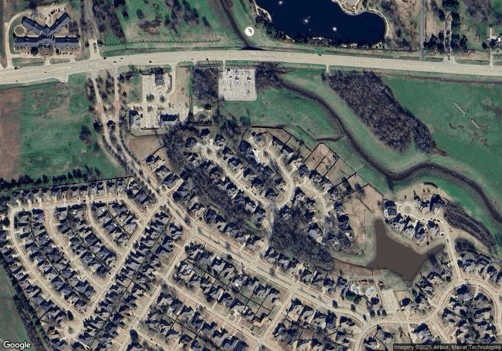
Map
Nearby Homes
- 623 Buckhead Cir
- 720 Catalpa Cir
- 9383 Milbank Dr
- 9548 Rochel Dr
- 11140 Parkside Dr
- 0 E Flournoy Lucas Rd Unit 2022017497
- 9572 Rochel Dr
- 355 Belle Winds Ct
- 9468 Milbank Dr
- 0 Cross Ridge Ct Unit 156 21009262
- 867 Chartres Dr
- 0 Crossfield Ct
- 343 Crossfield Ct
- Lot 148 Crossfield Ct
- 9012 Klondike Ct
- 0 Railsback Ridge Dr Unit 21100454
- 0 Railsback Ridge Dr Unit 20195227
- 9116 Coral Bells Ct
- 9316 Prestonwood Dr
- 9434 Valencia Ct
- 631 Buckhead Cir
- 608 Parlange Cir
- 604 Parlange Cir
- 632 Buckhead Cir
- 628 Buckhead Cir
- 641 Buckhead Cir
- 638 Buckhead Cir
- 622 Buckhead Cir
- 612 Parlange Cir
- 619 Buckhead Cir
- 618 Buckhead Cir
- 600 Parlange Cir
- 612 Buckhead Cir
- 642 Buckhead Cir
- 642 Buckhead Cir
- 607 Buckhead Cir
- 605 Parlange Cir
- 9221 Catalpa Dr
- 639 Ashley River Rd
- 704 Catalpa Cir