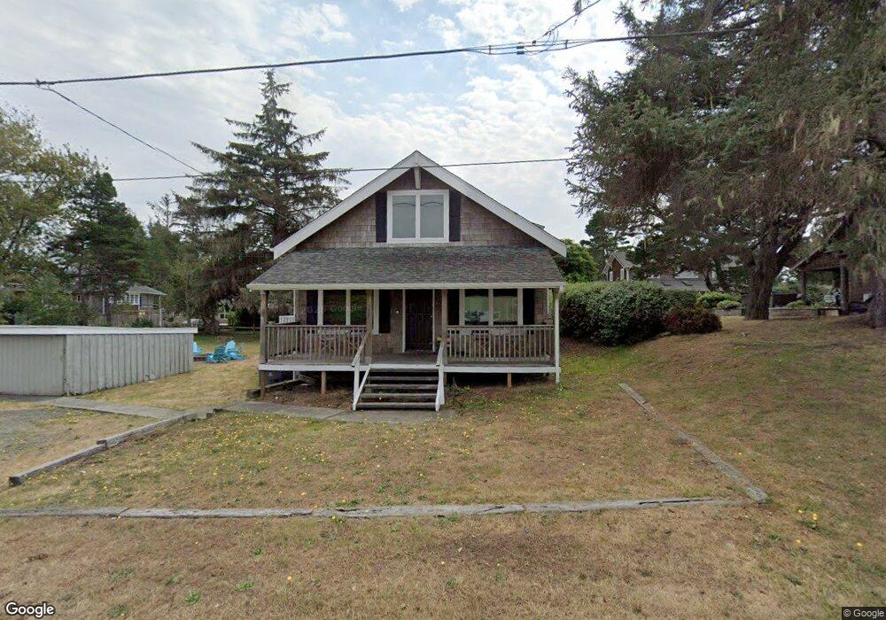
627 C St Seaside, OR 97138
Estimated Value: $648,276 - $892,000
3
Beds
2
Baths
1,840
Sq Ft
$414/Sq Ft
Est. Value
About This Home
This home is located at 627 C St, Seaside, OR 97138 and is currently estimated at $761,819, approximately $414 per square foot. 627 C St is a home located in Clatsop County with nearby schools including Seaside High School.
Ownership History
Date
Name
Owned For
Owner Type
Purchase Details
Closed on
Feb 3, 2022
Sold by
Sporre Eric A
Bought by
Eric Allen Sporre And Susan Maguire Sporre Re and Ma Susan
Current Estimated Value
Purchase Details
Closed on
Jul 3, 2014
Sold by
Mcmahon Bradley C and Mcmahon Amy
Bought by
Carda Scott M and Carda Gayle K
Purchase Details
Closed on
Aug 13, 2010
Sold by
Mcmahon Brad and Mcmahon Amy
Bought by
Garofalo John and Garofalo Pam
Purchase Details
Closed on
Aug 7, 2006
Sold by
Dunham Arlyss D and Pamela Dunham S
Bought by
Mcmahon Bradley C and Mcmahon Amy
Home Financials for this Owner
Home Financials are based on the most recent Mortgage that was taken out on this home.
Original Mortgage
$125,000
Interest Rate
6.76%
Mortgage Type
Unknown
Create a Home Valuation Report for This Property
The Home Valuation Report is an in-depth analysis detailing your home's value as well as a comparison with similar homes in the area
Purchase History
| Date | Buyer | Sale Price | Title Company |
|---|---|---|---|
| Eric Allen Sporre And Susan Maguire Sporre Re | $87,000 | None Listed On Document | |
| Carda Scott M | $40,000 | Ticor Title Ins Co | |
| Sporre Eric A | $385,000 | Ticor Title Ins Co | |
| Garofalo John | $110,000 | None Available | |
| Mcmahon Bradley C | $420,000 | Ticor Title Ins Co |
Source: Public Records
Mortgage History
| Date | Status | Borrower | Loan Amount |
|---|---|---|---|
| Previous Owner | Mcmahon Bradley C | $125,000 |
Source: Public Records
Tax History
| Year | Tax Paid | Tax Assessment Tax Assessment Total Assessment is a certain percentage of the fair market value that is determined by local assessors to be the total taxable value of land and additions on the property. | Land | Improvement |
|---|---|---|---|---|
| 2025 | $3,626 | $331,985 | -- | -- |
| 2024 | $3,686 | $322,316 | -- | -- |
| 2023 | $3,583 | $312,929 | $0 | $0 |
| 2022 | $3,476 | $303,815 | $0 | $0 |
| 2021 | $3,548 | $294,967 | $0 | $0 |
| 2020 | $3,422 | $286,377 | $0 | $0 |
| 2019 | $3,334 | $278,037 | $0 | $0 |
Source: Public Records
Map
Nearby Homes
- 1255 A St
- 1265 D St
- 934 H St
- 735 3rd St
- 782 Woodland Ct
- 1396 N Ocean Ave
- 641 6th St
- 3387-3389 U S 101
- 3389 U S 101
- 1054 Picture Place
- 777 N Marion Ave
- 0 8th St
- 2674 U S 101
- 802 25th Ave
- 1146 N Marion Ave Unit 1-606
- 2657 N Hwy 101 Unit 6
- 1238 N Marion Ave Unit 467
- 2440 Pine St
- 1238 N Marion Pacific View Condo Ave Unit 467
- 0 McCormick Gardens Rd
Your Personal Tour Guide
Ask me questions while you tour the home.