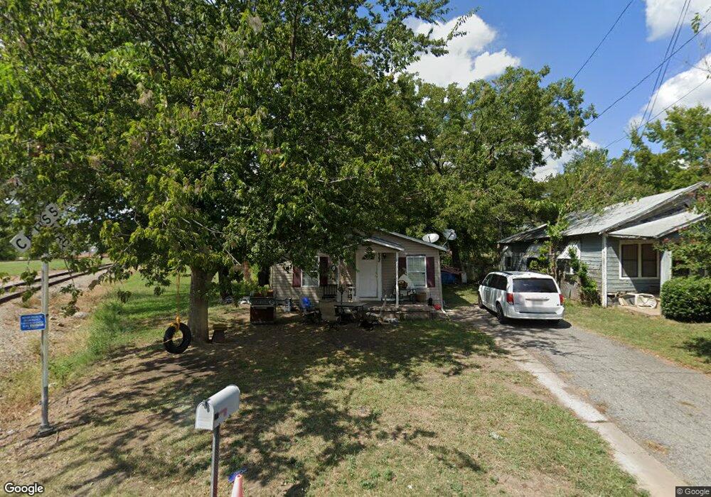
627 E Pacific St Sherman, TX 75090
Estimated Value: $129,686 - $151,000
3
Beds
2
Baths
1,040
Sq Ft
$135/Sq Ft
Est. Value
About This Home
This home is located at 627 E Pacific St, Sherman, TX 75090 and is currently estimated at $140,343, approximately $134 per square foot. 627 E Pacific St is a home located in Grayson County with nearby schools including Jefferson Elementary School, Piner Middle School, and Dillingham Intermediate School.
Ownership History
Date
Name
Owned For
Owner Type
Purchase Details
Closed on
Dec 22, 2013
Sold by
Flores Fuentes Lucio Angel
Bought by
Dunlap Kimberly A
Current Estimated Value
Purchase Details
Closed on
Dec 27, 2007
Sold by
Dunlap Kimberly A and Aleman Kimberly A
Bought by
Fuentes Lucio Angel Flores
Home Financials for this Owner
Home Financials are based on the most recent Mortgage that was taken out on this home.
Original Mortgage
$48,000
Interest Rate
6.26%
Mortgage Type
Seller Take Back
Create a Home Valuation Report for This Property
The Home Valuation Report is an in-depth analysis detailing your home's value as well as a comparison with similar homes in the area
Home Values in the Area
Average Home Value in this Area
Purchase History
| Date | Buyer | Sale Price | Title Company |
|---|---|---|---|
| Dunlap Kimberly A | -- | None Available | |
| Fuentes Lucio Angel Flores | -- | Red River Title Co |
Source: Public Records
Mortgage History
| Date | Status | Borrower | Loan Amount |
|---|---|---|---|
| Previous Owner | Fuentes Lucio Angel Flores | $48,000 |
Source: Public Records
Tax History Compared to Growth
Tax History
| Year | Tax Paid | Tax Assessment Tax Assessment Total Assessment is a certain percentage of the fair market value that is determined by local assessors to be the total taxable value of land and additions on the property. | Land | Improvement |
|---|---|---|---|---|
| 2025 | $2,116 | $102,602 | $42,532 | $60,070 |
| 2024 | $2,116 | $96,461 | $41,709 | $54,752 |
| 2023 | $2,374 | $108,132 | $35,667 | $72,465 |
| 2022 | $2,100 | $89,601 | $18,522 | $71,079 |
| 2021 | $1,736 | $69,263 | $17,836 | $51,427 |
| 2020 | $1,508 | $57,459 | $11,731 | $45,728 |
| 2019 | $1,471 | $54,578 | $9,673 | $44,905 |
| 2018 | $1,344 | $53,575 | $6,243 | $47,332 |
| 2017 | $993 | $39,880 | $3,293 | $36,587 |
| 2016 | $933 | $37,461 | $3,293 | $34,168 |
| 2015 | $729 | $29,333 | $988 | $28,345 |
| 2014 | $671 | $27,009 | $1,934 | $25,075 |
Source: Public Records
Map
Nearby Homes
- 520 E Brockett St
- 514 E Brockett St Unit 516
- 515 N East St
- 1212 N Throckmorton St
- 811 N East St
- 812 N Willow St
- 905 N Music St
- 304-316 E Pacific St Unit 316
- .25 ACRES N Montgomery St
- 317 E College St
- 1013 N Branch St
- 1021 N Branch St
- 819 N Walnut St Unit 821
- 209 E College St
- 920 E Chaffin St
- 810 N Walnut St
- 0 Vernon Holland Memorial Dr
- 821 E Jones St
- 1109 E Lamar St
- 715 N Elm St
- 629 E Pacific St
- 631 E Pacific St
- 633 E Pacific St
- 703 E Pacific St
- 700 E Pacific St
- 604 N Broughton St
- 707 E Pacific St
- 617 E Brockett St
- 534 E Brockett St
- 619 E Brockett St
- 706 E Pacific St
- 529 E Pacific St
- 623 E Brockett St
- 705 E Brockett St
- 537 E Brockett St
- 608 E Carter St
- 612 N Maxey St
- 716 N Throckmorton St
- 520 N Maxey St
- 521 E Pacific St