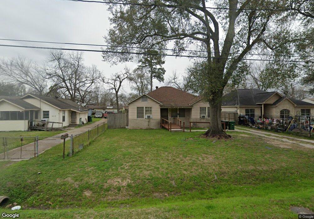
627 Eubanks St Houston, TX 77022
Northside-Northline NeighborhoodEstimated Value: $214,106 - $268,000
3
Beds
2
Baths
1,272
Sq Ft
$185/Sq Ft
Est. Value
About This Home
This home is located at 627 Eubanks St, Houston, TX 77022 and is currently estimated at $235,027, approximately $184 per square foot. 627 Eubanks St is a home located in Harris County with nearby schools including Janowski Elementary School, Burbank Middle School, and Sam Houston Math, Science & Technology Center.
Ownership History
Date
Name
Owned For
Owner Type
Purchase Details
Closed on
Nov 18, 2005
Sold by
Shippey Kevin Max
Bought by
Moon Ronald W
Current Estimated Value
Home Financials for this Owner
Home Financials are based on the most recent Mortgage that was taken out on this home.
Original Mortgage
$59,200
Interest Rate
6.06%
Mortgage Type
Fannie Mae Freddie Mac
Purchase Details
Closed on
Aug 26, 2005
Sold by
Shippey Kevin Max
Bought by
Shippey Kevin Max
Create a Home Valuation Report for This Property
The Home Valuation Report is an in-depth analysis detailing your home's value as well as a comparison with similar homes in the area
Home Values in the Area
Average Home Value in this Area
Purchase History
| Date | Buyer | Sale Price | Title Company |
|---|---|---|---|
| Moon Ronald W | -- | First American Title | |
| Shippey Kevin Max | -- | -- |
Source: Public Records
Mortgage History
| Date | Status | Borrower | Loan Amount |
|---|---|---|---|
| Closed | Moon Ronald W | $59,200 |
Source: Public Records
Tax History
| Year | Tax Paid | Tax Assessment Tax Assessment Total Assessment is a certain percentage of the fair market value that is determined by local assessors to be the total taxable value of land and additions on the property. | Land | Improvement |
|---|---|---|---|---|
| 2025 | $9 | $200,127 | $126,920 | $73,207 |
| 2024 | $9 | $188,392 | $116,483 | $71,909 |
| 2023 | $9 | $182,742 | $70,975 | $111,767 |
| 2022 | $3,159 | $159,035 | $70,975 | $88,060 |
| 2021 | $3,039 | $135,589 | $70,975 | $64,614 |
| 2020 | $2,871 | $128,751 | $70,975 | $57,776 |
| 2019 | $2,727 | $119,540 | $58,450 | $61,090 |
| 2018 | $1,692 | $97,981 | $48,848 | $49,133 |
| 2017 | $2,274 | $97,981 | $48,848 | $49,133 |
| 2016 | $2,068 | $87,712 | $45,925 | $41,787 |
| 2015 | $1,357 | $74,333 | $33,400 | $40,933 |
| 2014 | $1,357 | $74,333 | $33,400 | $40,933 |
Source: Public Records
Map
Nearby Homes
- 714 Apache St
- 743 Apache St
- 741 Mcdaniel St
- 525 Eubanks St
- 729 Caperton St
- 802 Berry Sage Ln
- 720 Caperton St
- 0 Appleton St
- 916 Berry Rd
- 1104 Charnwood St
- 8205 Appleton St
- 428 Van Molan St
- 7523 Roswell St
- 909 Yorkshire St Unit 8
- 605 Post St
- 7315 Roswell St
- 8109 W Hardy Rd
- 723 Doverside St
- 411 Berry Rd
- 243 Rebecca St Unit E
Your Personal Tour Guide
Ask me questions while you tour the home.